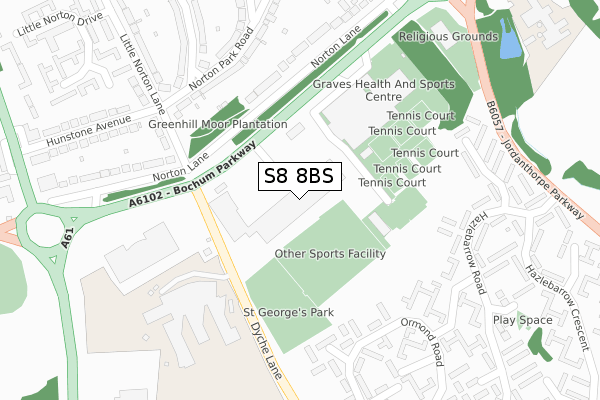
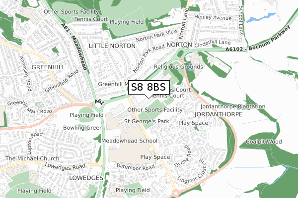
S8 8BS is located in the Beauchief and Greenhill electoral ward, within the metropolitan district of Sheffield and the English Parliamentary constituency of Sheffield, Heeley. The Sub Integrated Care Board (ICB) Location is NHS South Yorkshire ICB - 03N and the police force is South Yorkshire. This postcode has been in use since December 2017.


GetTheData
Source: OS Open Zoomstack (Ordnance Survey)
Licence: Open Government Licence (requires attribution)
Attribution: Contains OS data © Crown copyright and database right 2025
Source: Open Postcode Geo
Licence: Open Government Licence (requires attribution)
Attribution: Contains OS data © Crown copyright and database right 2025; Contains Royal Mail data © Royal Mail copyright and database right 2025; Source: Office for National Statistics licensed under the Open Government Licence v.3.0
| Easting | 435587 |
| Northing | 381263 |
| Latitude | 53.327113 |
| Longitude | -1.467152 |
GetTheData
Source: Open Postcode Geo
Licence: Open Government Licence
| Country | England |
| Postcode District | S8 |
➜ See where S8 is on a map ➜ Where is Sheffield? | |
GetTheData
Source: Land Registry Price Paid Data
Licence: Open Government Licence
| Ward | Beauchief And Greenhill |
| Constituency | Sheffield, Heeley |
GetTheData
Source: ONS Postcode Database
Licence: Open Government Licence
| Norton College (Bochum Parkway) | Meadowhead | 152m |
| Bochum Parkway (Dyche Lane) | Meadowhead | 163m |
| Norton College (Bochum Parkway) | Meadowhead | 176m |
| Ormond Way (Hazlebarrow Road) | Jordanthorpe | 297m |
| Ormond Way (Hazlebarrow Road) | Jordanthorpe | 324m |
| Dronfield Station | 2.9km |
| Dore & Totley Station | 3.2km |
GetTheData
Source: NaPTAN
Licence: Open Government Licence
GetTheData
Source: ONS Postcode Database
Licence: Open Government Licence


➜ Get more ratings from the Food Standards Agency
GetTheData
Source: Food Standards Agency
Licence: FSA terms & conditions
| Last Collection | |||
|---|---|---|---|
| Location | Mon-Fri | Sat | Distance |
| 87 Hazlebarrow Road | 17:45 | 12:30 | 284m |
| 117 Norton Lane | 17:30 | 13:00 | 343m |
| Meadowhead Post Office | 17:30 | 12:30 | 453m |
GetTheData
Source: Dracos
Licence: Creative Commons Attribution-ShareAlike
The below table lists the International Territorial Level (ITL) codes (formerly Nomenclature of Territorial Units for Statistics (NUTS) codes) and Local Administrative Units (LAU) codes for S8 8BS:
| ITL 1 Code | Name |
|---|---|
| TLE | Yorkshire and The Humber |
| ITL 2 Code | Name |
| TLE3 | South Yorkshire |
| ITL 3 Code | Name |
| TLE32 | Sheffield |
| LAU 1 Code | Name |
| E08000019 | Sheffield |
GetTheData
Source: ONS Postcode Directory
Licence: Open Government Licence
The below table lists the Census Output Area (OA), Lower Layer Super Output Area (LSOA), and Middle Layer Super Output Area (MSOA) for S8 8BS:
| Code | Name | |
|---|---|---|
| OA | E00040958 | |
| LSOA | E01008079 | Sheffield 064F |
| MSOA | E02001674 | Sheffield 064 |
GetTheData
Source: ONS Postcode Directory
Licence: Open Government Licence
| S8 8GR | Norton Park Road | 275m |
| S8 8FS | Ormond Road | 283m |
| S8 8FR | Ormond Road | 296m |
| S8 8FQ | Ormond Drive | 304m |
| S8 8GX | Norton Lane | 305m |
| S8 8GW | Norton Lane | 309m |
| S8 8FT | Ormond Road | 311m |
| S8 8FU | Ormond Way | 315m |
| S8 8AS | Hazlebarrow Drive | 333m |
| S8 8FP | Ormond Close | 343m |
GetTheData
Source: Open Postcode Geo; Land Registry Price Paid Data
Licence: Open Government Licence