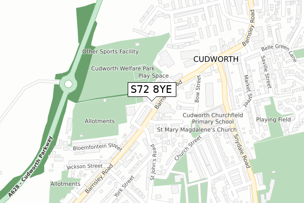
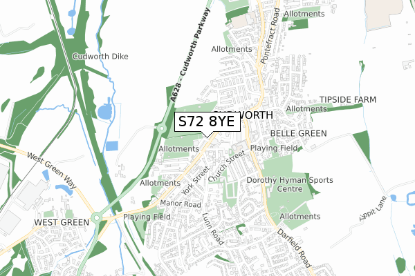
S72 8YE is located in the Cudworth electoral ward, within the metropolitan district of Barnsley and the English Parliamentary constituency of Barnsley East. The Sub Integrated Care Board (ICB) Location is NHS South Yorkshire ICB - 02P and the police force is South Yorkshire. This postcode has been in use since August 2020.


GetTheData
Source: OS Open Zoomstack (Ordnance Survey)
Licence: Open Government Licence (requires attribution)
Attribution: Contains OS data © Crown copyright and database right 2024
Source: Open Postcode Geo
Licence: Open Government Licence (requires attribution)
Attribution: Contains OS data © Crown copyright and database right 2024; Contains Royal Mail data © Royal Mail copyright and database right 2024; Source: Office for National Statistics licensed under the Open Government Licence v.3.0
| Easting | 438615 |
| Northing | 409099 |
| Latitude | 53.577090 |
| Longitude | -1.418290 |
GetTheData
Source: Open Postcode Geo
Licence: Open Government Licence
| Country | England |
| Postcode District | S72 |
➜ See where S72 is on a map ➜ Where is Cudworth? | |
GetTheData
Source: Land Registry Price Paid Data
Licence: Open Government Licence
Elevation or altitude of S72 8YE as distance above sea level:
| Metres | Feet | |
|---|---|---|
| Elevation | 60m | 197ft |
Elevation is measured from the approximate centre of the postcode, to the nearest point on an OS contour line from OS Terrain 50, which has contour spacing of ten vertical metres.
➜ How high above sea level am I? Find the elevation of your current position using your device's GPS.
GetTheData
Source: Open Postcode Elevation
Licence: Open Government Licence
| Ward | Cudworth |
| Constituency | Barnsley East |
GetTheData
Source: ONS Postcode Database
Licence: Open Government Licence
| The Star (Barnsley Road) | Cudworth | 66m |
| St Johns Road (Barnsley Road) | Cudworth | 107m |
| St Johns Road (Barnsley Road) | Cudworth | 132m |
| Barnsley Road (Snydale Road) | Cudworth | 244m |
| Barnsley Road (Snydale Road) | Cudworth | 256m |
| Barnsley Station | 4.7km |
GetTheData
Source: NaPTAN
Licence: Open Government Licence
GetTheData
Source: ONS Postcode Database
Licence: Open Government Licence


➜ Get more ratings from the Food Standards Agency
GetTheData
Source: Food Standards Agency
Licence: FSA terms & conditions
| Last Collection | |||
|---|---|---|---|
| Location | Mon-Fri | Sat | Distance |
| Post Office | 17:00 | 12:00 | 23m |
| Manor Road | 16:00 | 11:45 | 400m |
| Sidcop Road | 16:00 | 09:00 | 530m |
GetTheData
Source: Dracos
Licence: Creative Commons Attribution-ShareAlike
The below table lists the International Territorial Level (ITL) codes (formerly Nomenclature of Territorial Units for Statistics (NUTS) codes) and Local Administrative Units (LAU) codes for S72 8YE:
| ITL 1 Code | Name |
|---|---|
| TLE | Yorkshire and The Humber |
| ITL 2 Code | Name |
| TLE3 | South Yorkshire |
| ITL 3 Code | Name |
| TLE31 | Barnsley, Doncaster and Rotherham |
| LAU 1 Code | Name |
| E08000016 | Barnsley |
GetTheData
Source: ONS Postcode Directory
Licence: Open Government Licence
The below table lists the Census Output Area (OA), Lower Layer Super Output Area (LSOA), and Middle Layer Super Output Area (MSOA) for S72 8YE:
| Code | Name | |
|---|---|---|
| OA | E00037211 | |
| LSOA | E01007345 | Barnsley 008B |
| MSOA | E02001516 | Barnsley 008 |
GetTheData
Source: ONS Postcode Directory
Licence: Open Government Licence
| S72 8UQ | Roberts Street | 25m |
| S72 8SS | Barnsley Road | 47m |
| S72 8UH | Barnsley Road | 52m |
| S72 8BU | Barnsley Road | 52m |
| S72 8JS | Prospect Street | 78m |
| S72 8ST | Carlton Street | 84m |
| S72 8JL | Bow Street | 105m |
| S72 8HE | St Marys Close | 121m |
| S72 8JN | Barnsley Road | 128m |
| S72 8SU | Barnsley Road | 129m |
GetTheData
Source: Open Postcode Geo; Land Registry Price Paid Data
Licence: Open Government Licence