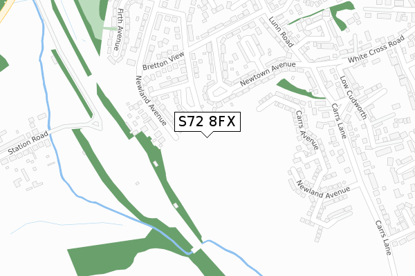
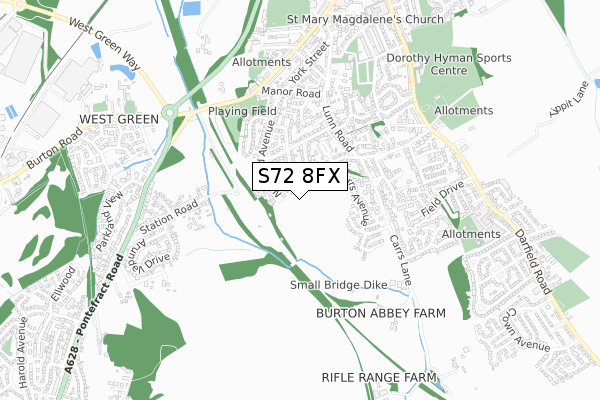
S72 8FX is located in the Cudworth electoral ward, within the metropolitan district of Barnsley and the English Parliamentary constituency of Barnsley East. The Sub Integrated Care Board (ICB) Location is NHS South Yorkshire ICB - 02P and the police force is South Yorkshire. This postcode has been in use since September 2019.


GetTheData
Source: OS Open Zoomstack (Ordnance Survey)
Licence: Open Government Licence (requires attribution)
Attribution: Contains OS data © Crown copyright and database right 2025
Source: Open Postcode Geo
Licence: Open Government Licence (requires attribution)
Attribution: Contains OS data © Crown copyright and database right 2025; Contains Royal Mail data © Royal Mail copyright and database right 2025; Source: Office for National Statistics licensed under the Open Government Licence v.3.0
| Easting | 438483 |
| Northing | 408272 |
| Latitude | 53.569667 |
| Longitude | -1.420385 |
GetTheData
Source: Open Postcode Geo
Licence: Open Government Licence
| Country | England |
| Postcode District | S72 |
➜ See where S72 is on a map ➜ Where is Cudworth? | |
GetTheData
Source: Land Registry Price Paid Data
Licence: Open Government Licence
| Ward | Cudworth |
| Constituency | Barnsley East |
GetTheData
Source: ONS Postcode Database
Licence: Open Government Licence
9, CARRS MEWS, CUDWORTH, BARNSLEY, S72 8FX 2023 23 JUN £271,995 |
3, CARRS MEWS, CUDWORTH, BARNSLEY, S72 8FX 2023 16 JUN £244,995 |
1, CARRS MEWS, CUDWORTH, BARNSLEY, S72 8FX 2023 2 JUN £332,995 |
17, CARRS MEWS, CUDWORTH, BARNSLEY, S72 8FX 2023 19 MAY £113,248 |
19, CARRS MEWS, CUDWORTH, BARNSLEY, S72 8FX 2023 24 MAR £264,995 |
2, CARRS MEWS, CUDWORTH, BARNSLEY, S72 8FX 2023 24 FEB £249,995 |
GetTheData
Source: HM Land Registry Price Paid Data
Licence: Contains HM Land Registry data © Crown copyright and database right 2025. This data is licensed under the Open Government Licence v3.0.
| Newtown Avenue (Lunn Road) | Cudworth | 286m |
| Wells Street (Lunn Road) | Cudworth | 340m |
| Wells Street (Lunn Road) | Cudworth | 377m |
| Quarry Vale (White Cross Road) | Cudworth | 386m |
| Manor Road (Barnsley Road) | Cudworth | 451m |
| Barnsley Station | 4.1km |
GetTheData
Source: NaPTAN
Licence: Open Government Licence
GetTheData
Source: ONS Postcode Database
Licence: Open Government Licence


➜ Get more ratings from the Food Standards Agency
GetTheData
Source: Food Standards Agency
Licence: FSA terms & conditions
| Last Collection | |||
|---|---|---|---|
| Location | Mon-Fri | Sat | Distance |
| Manor Road | 16:00 | 11:45 | 440m |
| Snydale Road | 16:00 | 09:00 | 638m |
| Station Road | 16:00 | 09:00 | 715m |
GetTheData
Source: Dracos
Licence: Creative Commons Attribution-ShareAlike
The below table lists the International Territorial Level (ITL) codes (formerly Nomenclature of Territorial Units for Statistics (NUTS) codes) and Local Administrative Units (LAU) codes for S72 8FX:
| ITL 1 Code | Name |
|---|---|
| TLE | Yorkshire and The Humber |
| ITL 2 Code | Name |
| TLE3 | South Yorkshire |
| ITL 3 Code | Name |
| TLE31 | Barnsley, Doncaster and Rotherham |
| LAU 1 Code | Name |
| E08000016 | Barnsley |
GetTheData
Source: ONS Postcode Directory
Licence: Open Government Licence
The below table lists the Census Output Area (OA), Lower Layer Super Output Area (LSOA), and Middle Layer Super Output Area (MSOA) for S72 8FX:
| Code | Name | |
|---|---|---|
| OA | E00037221 | |
| LSOA | E01007346 | Barnsley 008C |
| MSOA | E02001516 | Barnsley 008 |
GetTheData
Source: ONS Postcode Directory
Licence: Open Government Licence
| S72 8XH | Summerdale Road | 67m |
| S72 8XB | Newland Avenue | 99m |
| S72 8DY | Newtown Avenue | 119m |
| S72 8XF | Newdale Avenue | 148m |
| S72 8XQ | Summerdale Road | 151m |
| S72 8DX | Newtown Avenue | 151m |
| S72 8XE | Bretton View | 169m |
| S72 8DU | Newtown Green | 211m |
| S72 8DZ | Newtown Avenue | 239m |
| S72 8XD | Newland Avenue | 254m |
GetTheData
Source: Open Postcode Geo; Land Registry Price Paid Data
Licence: Open Government Licence