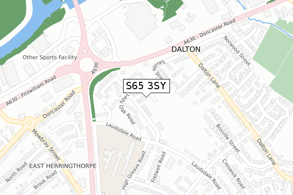
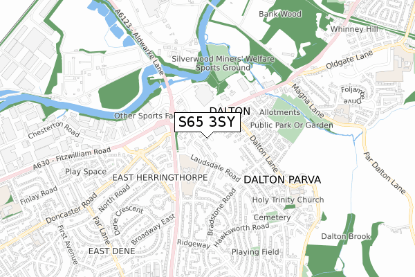
S65 3SY is located in the Dalton & Thrybergh electoral ward, within the metropolitan district of Rotherham and the English Parliamentary constituency of Rotherham. The Sub Integrated Care Board (ICB) Location is NHS South Yorkshire ICB - 03L and the police force is South Yorkshire. This postcode has been in use since December 2019.


GetTheData
Source: OS Open Zoomstack (Ordnance Survey)
Licence: Open Government Licence (requires attribution)
Attribution: Contains OS data © Crown copyright and database right 2024
Source: Open Postcode Geo
Licence: Open Government Licence (requires attribution)
Attribution: Contains OS data © Crown copyright and database right 2024; Contains Royal Mail data © Royal Mail copyright and database right 2024; Source: Office for National Statistics licensed under the Open Government Licence v.3.0
| Easting | 445394 |
| Northing | 394014 |
| Latitude | 53.440971 |
| Longitude | -1.318092 |
GetTheData
Source: Open Postcode Geo
Licence: Open Government Licence
| Country | England |
| Postcode District | S65 |
➜ See where S65 is on a map ➜ Where is Dalton? | |
GetTheData
Source: Land Registry Price Paid Data
Licence: Open Government Licence
| Ward | Dalton & Thrybergh |
| Constituency | Rotherham |
GetTheData
Source: ONS Postcode Database
Licence: Open Government Licence
| Lady Oak Road (Laudsdale Road) | East Herringthorpe | 129m |
| Saville Street (Doncaster Road) | Dalton | 161m |
| Laudsdale Road (Herringthorpe Valley Road) | East Herringthorpe | 256m |
| Millside Centre (Doncaster Road) | Dalton | 257m |
| Mushroom Roundabout (Herringthorpe Valley Road) | East Herringthorpe | 270m |
| Rotherham Central Station | 3km |
GetTheData
Source: NaPTAN
Licence: Open Government Licence
GetTheData
Source: ONS Postcode Database
Licence: Open Government Licence


➜ Get more ratings from the Food Standards Agency
GetTheData
Source: Food Standards Agency
Licence: FSA terms & conditions
| Last Collection | |||
|---|---|---|---|
| Location | Mon-Fri | Sat | Distance |
| Asda Stores | 17:15 | 12:00 | 273m |
| Laudsdale Road | 17:00 | 12:00 | 293m |
| 159 Dalton Lane | 17:00 | 12:00 | 445m |
GetTheData
Source: Dracos
Licence: Creative Commons Attribution-ShareAlike
The below table lists the International Territorial Level (ITL) codes (formerly Nomenclature of Territorial Units for Statistics (NUTS) codes) and Local Administrative Units (LAU) codes for S65 3SY:
| ITL 1 Code | Name |
|---|---|
| TLE | Yorkshire and The Humber |
| ITL 2 Code | Name |
| TLE3 | South Yorkshire |
| ITL 3 Code | Name |
| TLE31 | Barnsley, Doncaster and Rotherham |
| LAU 1 Code | Name |
| E08000018 | Rotherham |
GetTheData
Source: ONS Postcode Directory
Licence: Open Government Licence
The below table lists the Census Output Area (OA), Lower Layer Super Output Area (LSOA), and Middle Layer Super Output Area (MSOA) for S65 3SY:
| Code | Name | |
|---|---|---|
| OA | E00039107 | |
| LSOA | E01007721 | Rotherham 010C |
| MSOA | E02001587 | Rotherham 010 |
GetTheData
Source: ONS Postcode Directory
Licence: Open Government Licence
| S65 3HD | Saville Street | 82m |
| S65 3HF | Constable Way | 116m |
| S65 3HA | Doncaster Road | 149m |
| S65 3LG | Laudsdale Road | 178m |
| S65 3QR | Bosville Street | 196m |
| S65 3LS | High Greave Road | 209m |
| S65 3LA | Lady Oak Way | 211m |
| S65 3QZ | Dalton Lane | 220m |
| S65 3QY | Dalton Lane | 220m |
| S65 3LH | Fretwell Road | 221m |
GetTheData
Source: Open Postcode Geo; Land Registry Price Paid Data
Licence: Open Government Licence