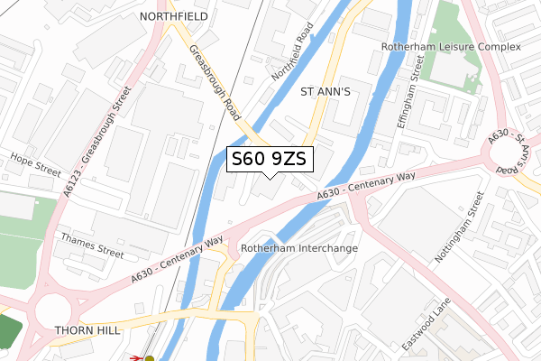
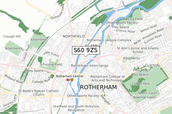
S60 9ZS is located in the Boston Castle electoral ward, within the metropolitan district of Rotherham and the English Parliamentary constituency of Rotherham. The Sub Integrated Care Board (ICB) Location is NHS South Yorkshire ICB - 03L and the police force is South Yorkshire. This postcode has been in use since July 2019.


GetTheData
Source: OS Open Zoomstack (Ordnance Survey)
Licence: Open Government Licence (requires attribution)
Attribution: Contains OS data © Crown copyright and database right 2025
Source: Open Postcode Geo
Licence: Open Government Licence (requires attribution)
Attribution: Contains OS data © Crown copyright and database right 2025; Contains Royal Mail data © Royal Mail copyright and database right 2025; Source: Office for National Statistics licensed under the Open Government Licence v.3.0
| Easting | 442789 |
| Northing | 393293 |
| Latitude | 53.434708 |
| Longitude | -1.357404 |
GetTheData
Source: Open Postcode Geo
Licence: Open Government Licence
| Country | England |
| Postcode District | S60 |
➜ See where S60 is on a map ➜ Where is Rotherham? | |
GetTheData
Source: Land Registry Price Paid Data
Licence: Open Government Licence
| Ward | Boston Castle |
| Constituency | Rotherham |
GetTheData
Source: ONS Postcode Database
Licence: Open Government Licence
| Rotherham Interchange (Corporation St) | Rotherham Town Centre | 133m |
| Bridge Street (Greasbrough Road) | Rotherham Town Centre | 235m |
| Greasbrough Road (Greasbrough Street) | Thorn Hill | 319m |
| Glasshouse Street (Greasbrough Street) | Thorn Hill | 338m |
| Hope Street (Greasbrough Street) | Thorn Hill | 340m |
| Rotherham Central Station | 0.3km |
| Meadowhall Station | 4.2km |
GetTheData
Source: NaPTAN
Licence: Open Government Licence
GetTheData
Source: ONS Postcode Database
Licence: Open Government Licence


➜ Get more ratings from the Food Standards Agency
GetTheData
Source: Food Standards Agency
Licence: FSA terms & conditions
| Last Collection | |||
|---|---|---|---|
| Location | Mon-Fri | Sat | Distance |
| Bridgegate Post Office | 18:30 | 12:00 | 244m |
| Ashley Business Court | 18:30 | 12:15 | 291m |
| Howard Street | 17:00 | 11:30 | 292m |
GetTheData
Source: Dracos
Licence: Creative Commons Attribution-ShareAlike
| Risk of S60 9ZS flooding from rivers and sea | High |
| ➜ S60 9ZS flood map | |
GetTheData
Source: Open Flood Risk by Postcode
Licence: Open Government Licence
The below table lists the International Territorial Level (ITL) codes (formerly Nomenclature of Territorial Units for Statistics (NUTS) codes) and Local Administrative Units (LAU) codes for S60 9ZS:
| ITL 1 Code | Name |
|---|---|
| TLE | Yorkshire and The Humber |
| ITL 2 Code | Name |
| TLE3 | South Yorkshire |
| ITL 3 Code | Name |
| TLE31 | Barnsley, Doncaster and Rotherham |
| LAU 1 Code | Name |
| E08000018 | Rotherham |
GetTheData
Source: ONS Postcode Directory
Licence: Open Government Licence
The below table lists the Census Output Area (OA), Lower Layer Super Output Area (LSOA), and Middle Layer Super Output Area (MSOA) for S60 9ZS:
| Code | Name | |
|---|---|---|
| OA | E00168755 | |
| LSOA | E01007714 | Rotherham 017B |
| MSOA | E02001594 | Rotherham 017 |
GetTheData
Source: ONS Postcode Directory
Licence: Open Government Licence
| S60 1RU | Rawmarsh Road | 153m |
| S60 1RB | Greasbrough Road | 229m |
| S60 1QX | Old Town Hall | 233m |
| S65 1AL | Effingham Street | 255m |
| S65 1BL | Effingham Street | 285m |
| S65 1HY | Drummond Street | 297m |
| S60 1PL | Bridgegate | 305m |
| S60 1PQ | Bridgegate | 316m |
| S65 1AJ | Effingham Street | 333m |
| S60 1PW | All Saints Square | 350m |
GetTheData
Source: Open Postcode Geo; Land Registry Price Paid Data
Licence: Open Government Licence