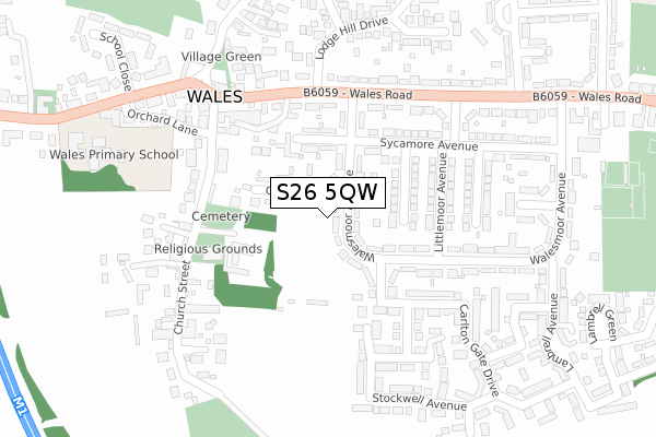
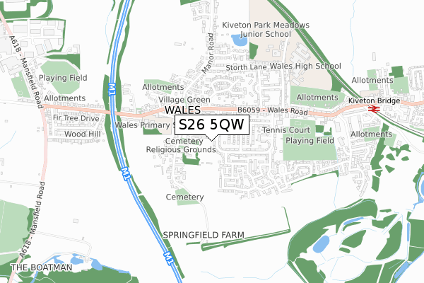
S26 5QW is located in the Wales electoral ward, within the metropolitan district of Rotherham and the English Parliamentary constituency of Rother Valley. The Sub Integrated Care Board (ICB) Location is NHS South Yorkshire ICB - 03L and the police force is South Yorkshire. This postcode has been in use since May 2019.


GetTheData
Source: OS Open Zoomstack (Ordnance Survey)
Licence: Open Government Licence (requires attribution)
Attribution: Contains OS data © Crown copyright and database right 2025
Source: Open Postcode Geo
Licence: Open Government Licence (requires attribution)
Attribution: Contains OS data © Crown copyright and database right 2025; Contains Royal Mail data © Royal Mail copyright and database right 2025; Source: Office for National Statistics licensed under the Open Government Licence v.3.0
| Easting | 447933 |
| Northing | 382738 |
| Latitude | 53.339401 |
| Longitude | -1.281580 |
GetTheData
Source: Open Postcode Geo
Licence: Open Government Licence
| Country | England |
| Postcode District | S26 |
➜ See where S26 is on a map | |
GetTheData
Source: Land Registry Price Paid Data
Licence: Open Government Licence
| Ward | Wales |
| Constituency | Rother Valley |
GetTheData
Source: ONS Postcode Database
Licence: Open Government Licence
| Lodge Hill Drive (Wales Road) | Wales | 209m |
| Church Street (Wales Road) | Wales | 232m |
| Lestermoor Avenue (Wales Road) | Wales | 308m |
| School Close (School Road) | Wales | 329m |
| Limetree Avenue (Wales Road) | Wales | 378m |
| Kiveton Bridge Station | 1km |
| Kiveton Park Station | 2.8km |
GetTheData
Source: NaPTAN
Licence: Open Government Licence
GetTheData
Source: ONS Postcode Database
Licence: Open Government Licence


➜ Get more ratings from the Food Standards Agency
GetTheData
Source: Food Standards Agency
Licence: FSA terms & conditions
| Last Collection | |||
|---|---|---|---|
| Location | Mon-Fri | Sat | Distance |
| Wales Post Office | 17:15 | 11:45 | 271m |
| 71 Wales Road | 16:30 | 11:45 | 787m |
| School Road | 17:30 | 11:30 | 923m |
GetTheData
Source: Dracos
Licence: Creative Commons Attribution-ShareAlike
The below table lists the International Territorial Level (ITL) codes (formerly Nomenclature of Territorial Units for Statistics (NUTS) codes) and Local Administrative Units (LAU) codes for S26 5QW:
| ITL 1 Code | Name |
|---|---|
| TLE | Yorkshire and The Humber |
| ITL 2 Code | Name |
| TLE3 | South Yorkshire |
| ITL 3 Code | Name |
| TLE31 | Barnsley, Doncaster and Rotherham |
| LAU 1 Code | Name |
| E08000018 | Rotherham |
GetTheData
Source: ONS Postcode Directory
Licence: Open Government Licence
The below table lists the Census Output Area (OA), Lower Layer Super Output Area (LSOA), and Middle Layer Super Output Area (MSOA) for S26 5QW:
| Code | Name | |
|---|---|---|
| OA | E00039257 | |
| LSOA | E01007747 | Rotherham 031C |
| MSOA | E02001608 | Rotherham 031 |
GetTheData
Source: ONS Postcode Directory
Licence: Open Government Licence
| S26 5LP | Church Close | 62m |
| S26 5PX | Queens Avenue | 144m |
| S26 5RG | Walesmoor Avenue | 157m |
| S26 5RB | Wales Road | 183m |
| S26 5QU | Sycamore Avenue | 185m |
| S26 5PU | Ashby Drive | 220m |
| S26 5RF | Walesmoor Avenue | 223m |
| S26 5LQ | Church Street | 238m |
| S26 5RE | Wales Road | 239m |
| S26 5RD | Hathaway Court | 252m |
GetTheData
Source: Open Postcode Geo; Land Registry Price Paid Data
Licence: Open Government Licence