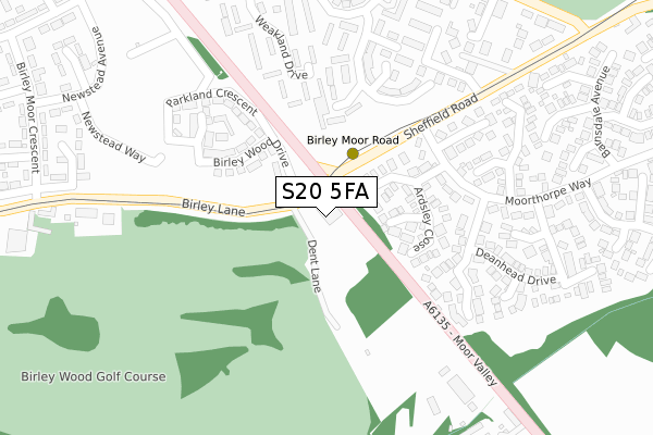
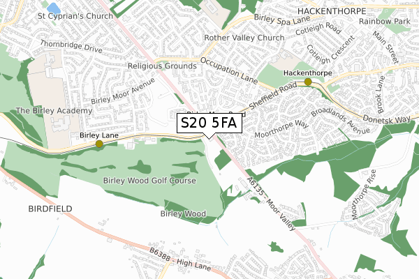
S20 5FA is located in the Beighton electoral ward, within the metropolitan district of Sheffield and the English Parliamentary constituency of Sheffield South East. The Sub Integrated Care Board (ICB) Location is NHS South Yorkshire ICB - 03N and the police force is South Yorkshire. This postcode has been in use since August 2019.


GetTheData
Source: OS Open Zoomstack (Ordnance Survey)
Licence: Open Government Licence (requires attribution)
Attribution: Contains OS data © Crown copyright and database right 2025
Source: Open Postcode Geo
Licence: Open Government Licence (requires attribution)
Attribution: Contains OS data © Crown copyright and database right 2025; Contains Royal Mail data © Royal Mail copyright and database right 2025; Source: Office for National Statistics licensed under the Open Government Licence v.3.0
| Easting | 440726 |
| Northing | 382804 |
| Latitude | 53.340595 |
| Longitude | -1.389802 |
GetTheData
Source: Open Postcode Geo
Licence: Open Government Licence
| Country | England |
| Postcode District | S20 |
➜ See where S20 is on a map | |
GetTheData
Source: Land Registry Price Paid Data
Licence: Open Government Licence
| Ward | Beighton |
| Constituency | Sheffield South East |
GetTheData
Source: ONS Postcode Database
Licence: Open Government Licence
| Sheffield Road (Moor Valley) | Birley | 33m |
| Moorthorpe Way (Sheffield Road) | Birley | 96m |
| Birley Lane (Birley Moor Road) | Birley | 96m |
| Moorthorpe Way (Sheffield Road) | Birley | 192m |
| Moor Valley Close (Moor Valley) | Quarry Hill | 394m |
| Birley Moor Road (Sheffield Supertram) (Off Sheffield Road) | Owlthorpe | 133m |
| Birley Lane (Sheffield Supertram) (Birley Lane) | Birley | 637m |
| Hackenthorpe (Sheffield Supertram) (Off Sheffield Road) | Hackenthorpe | 671m |
| Donetsk Way (Sheffield Supertram) (Donetsk Way) | Owlthorpe | 1,300m |
| Woodhouse Station | 3.4km |
| Darnall Station | 5.1km |
| Sheffield Station | 6.4km |
GetTheData
Source: NaPTAN
Licence: Open Government Licence
GetTheData
Source: ONS Postcode Database
Licence: Open Government Licence


➜ Get more ratings from the Food Standards Agency
GetTheData
Source: Food Standards Agency
Licence: FSA terms & conditions
| Last Collection | |||
|---|---|---|---|
| Location | Mon-Fri | Sat | Distance |
| Grassdale View | 17:30 | 10:15 | 289m |
| Westfield Centre Post Office | 16:00 | 11:30 | 529m |
| Spa View Road Post Office | 17:30 | 12:00 | 547m |
GetTheData
Source: Dracos
Licence: Creative Commons Attribution-ShareAlike
The below table lists the International Territorial Level (ITL) codes (formerly Nomenclature of Territorial Units for Statistics (NUTS) codes) and Local Administrative Units (LAU) codes for S20 5FA:
| ITL 1 Code | Name |
|---|---|
| TLE | Yorkshire and The Humber |
| ITL 2 Code | Name |
| TLE3 | South Yorkshire |
| ITL 3 Code | Name |
| TLE32 | Sheffield |
| LAU 1 Code | Name |
| E08000019 | Sheffield |
GetTheData
Source: ONS Postcode Directory
Licence: Open Government Licence
The below table lists the Census Output Area (OA), Lower Layer Super Output Area (LSOA), and Middle Layer Super Output Area (MSOA) for S20 5FA:
| Code | Name | |
|---|---|---|
| OA | E00040731 | |
| LSOA | E01008021 | Sheffield 072A |
| MSOA | E02006803 | Sheffield 072 |
GetTheData
Source: ONS Postcode Directory
Licence: Open Government Licence
| S20 6RZ | Ardsley Drive | 106m |
| S20 6ST | Ardsley Grove | 122m |
| S12 3BF | Birley Wood Drive | 136m |
| S20 6SS | Ardsley Close | 147m |
| S12 3BU | Birley Wood Drive | 171m |
| S12 4PB | Weakland Close | 206m |
| S20 6SU | Darfield Avenue | 211m |
| S12 4PZ | Parkside Close | 214m |
| S12 4PA | Weakland Close | 226m |
| S12 3BT | Foxfield Close | 232m |
GetTheData
Source: Open Postcode Geo; Land Registry Price Paid Data
Licence: Open Government Licence