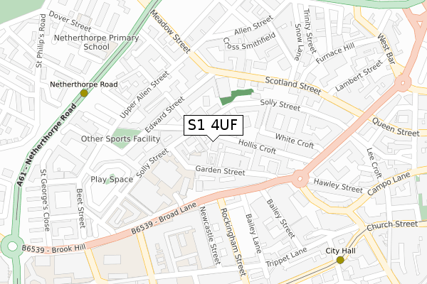
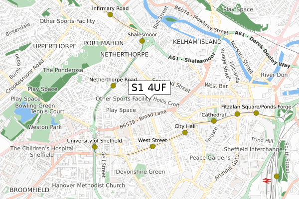
S1 4UF is located in the City electoral ward, within the metropolitan district of Sheffield and the English Parliamentary constituency of Sheffield Central. The Sub Integrated Care Board (ICB) Location is NHS South Yorkshire ICB - 03N and the police force is South Yorkshire. This postcode has been in use since November 2019.


GetTheData
Source: OS Open Zoomstack (Ordnance Survey)
Licence: Open Government Licence (requires attribution)
Attribution: Contains OS data © Crown copyright and database right 2025
Source: Open Postcode Geo
Licence: Open Government Licence (requires attribution)
Attribution: Contains OS data © Crown copyright and database right 2025; Contains Royal Mail data © Royal Mail copyright and database right 2025; Source: Office for National Statistics licensed under the Open Government Licence v.3.0
| Easting | 434877 |
| Northing | 387615 |
| Latitude | 53.384253 |
| Longitude | -1.477114 |
GetTheData
Source: Open Postcode Geo
Licence: Open Government Licence
| Country | England |
| Postcode District | S1 |
➜ See where S1 is on a map ➜ Where is Sheffield? | |
GetTheData
Source: Land Registry Price Paid Data
Licence: Open Government Licence
| Ward | City |
| Constituency | Sheffield Central |
GetTheData
Source: ONS Postcode Database
Licence: Open Government Licence
| Edward Street (Scotland Street) | Shalesmoor | 153m |
| Meadow Street (Scotland Street) | Shalesmoor | 174m |
| Portobello Road (Rockingham Street) | Sheffield Centre | 253m |
| Tenter Street (Townhead Street) | Sheffield Centre | 272m |
| Lambert Street (Scotland Street) | Shalesmoor | 277m |
| Netherthorpe Road (Sheffield Supertram) (Netherthorpe Road) | Netherthorpe | 364m |
| City Hall (Sheffield Supertram) (West Street) | Sheffield Centre | 395m |
| West Street (Sheffield Supertram) (West Street) | Sheffield Centre | 411m |
| Shalesmoor (Sheffield Supertram) (Corner Of Netherthorpe Rd And Shalesmoor) | Shalesmoor | 496m |
| Cathedral (Sheffield Supertram) (Church Street) | Sheffield Centre | 567m |
| Sheffield Station | 1.2km |
| Darnall Station | 4.3km |
| Meadowhall Station | 5.7km |
GetTheData
Source: NaPTAN
Licence: Open Government Licence
GetTheData
Source: ONS Postcode Database
Licence: Open Government Licence


➜ Get more ratings from the Food Standards Agency
GetTheData
Source: Food Standards Agency
Licence: FSA terms & conditions
| Last Collection | |||
|---|---|---|---|
| Location | Mon-Fri | Sat | Distance |
| Broad Lane | 18:30 | 11:00 | 189m |
| Well Meadow Street | 17:30 | 10:00 | 205m |
| Rockingham Street | 18:30 | 10:00 | 378m |
GetTheData
Source: Dracos
Licence: Creative Commons Attribution-ShareAlike
The below table lists the International Territorial Level (ITL) codes (formerly Nomenclature of Territorial Units for Statistics (NUTS) codes) and Local Administrative Units (LAU) codes for S1 4UF:
| ITL 1 Code | Name |
|---|---|
| TLE | Yorkshire and The Humber |
| ITL 2 Code | Name |
| TLE3 | South Yorkshire |
| ITL 3 Code | Name |
| TLE32 | Sheffield |
| LAU 1 Code | Name |
| E08000019 | Sheffield |
GetTheData
Source: ONS Postcode Directory
Licence: Open Government Licence
The below table lists the Census Output Area (OA), Lower Layer Super Output Area (LSOA), and Middle Layer Super Output Area (MSOA) for S1 4UF:
| Code | Name | |
|---|---|---|
| OA | E00172537 | |
| LSOA | E01033261 | Sheffield 073A |
| MSOA | E02006843 | Sheffield 073 |
GetTheData
Source: ONS Postcode Directory
Licence: Open Government Licence
| S1 4BJ | Garden Street | 66m |
| S1 4BB | Solly Street | 75m |
| S1 4BZ | Solly Street | 76m |
| S3 7GJ | Edward Street | 105m |
| S3 7GE | Edward Street | 111m |
| S1 4BA | Solly Street | 142m |
| S1 4BS | Broad Lane | 143m |
| S1 4EA | Rockingham Street | 149m |
| S3 7GT | Upper Allen Street | 179m |
| S3 7GY | Upper Allen Street | 179m |
GetTheData
Source: Open Postcode Geo; Land Registry Price Paid Data
Licence: Open Government Licence