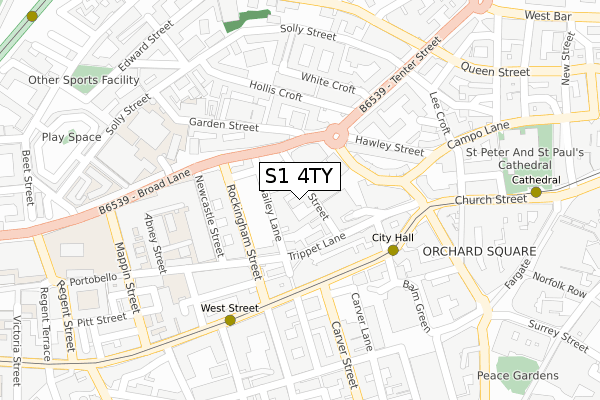
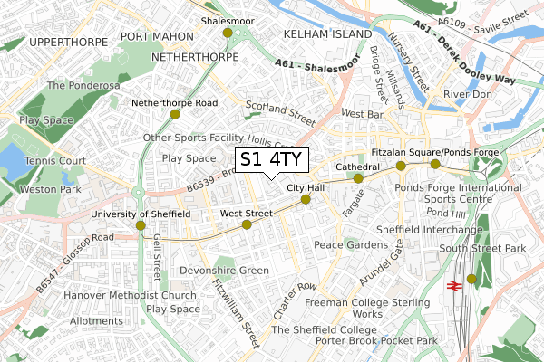
S1 4TY is located in the City electoral ward, within the metropolitan district of Sheffield and the English Parliamentary constituency of Sheffield Central. The Sub Integrated Care Board (ICB) Location is NHS South Yorkshire ICB - 03N and the police force is South Yorkshire. This postcode has been in use since August 2019.


GetTheData
Source: OS Open Zoomstack (Ordnance Survey)
Licence: Open Government Licence (requires attribution)
Attribution: Contains OS data © Crown copyright and database right 2025
Source: Open Postcode Geo
Licence: Open Government Licence (requires attribution)
Attribution: Contains OS data © Crown copyright and database right 2025; Contains Royal Mail data © Royal Mail copyright and database right 2025; Source: Office for National Statistics licensed under the Open Government Licence v.3.0
| Easting | 435019 |
| Northing | 387422 |
| Latitude | 53.382509 |
| Longitude | -1.475000 |
GetTheData
Source: Open Postcode Geo
Licence: Open Government Licence
| Country | England |
| Postcode District | S1 |
➜ See where S1 is on a map ➜ Where is Sheffield? | |
GetTheData
Source: Land Registry Price Paid Data
Licence: Open Government Licence
| Ward | City |
| Constituency | Sheffield Central |
GetTheData
Source: ONS Postcode Database
Licence: Open Government Licence
| Tenter Street (Townhead Street) | Sheffield Centre | 112m |
| Portobello Road (Rockingham Street) | Sheffield Centre | 112m |
| City Hall (West Street) | Sheffield Centre | 152m |
| Rockingham Street (West Street) | Sheffield Centre | 161m |
| City Hall Ch1 (Leopold Street) | Sheffield Centre | 262m |
| City Hall (Sheffield Supertram) (West Street) | Sheffield Centre | 164m |
| West Street (Sheffield Supertram) (West Street) | Sheffield Centre | 271m |
| Cathedral (Sheffield Supertram) (Church Street) | Sheffield Centre | 396m |
| Netherthorpe Road (Sheffield Supertram) (Netherthorpe Road) | Netherthorpe | 559m |
| Castle Square (Sheffield Supertram) (Jct Of Arundel Gate And Angel Street) | Sheffield Centre | 598m |
| Sheffield Station | 1km |
| Darnall Station | 4.2km |
| Meadowhall Station | 5.7km |
GetTheData
Source: NaPTAN
Licence: Open Government Licence
GetTheData
Source: ONS Postcode Database
Licence: Open Government Licence


➜ Get more ratings from the Food Standards Agency
GetTheData
Source: Food Standards Agency
Licence: FSA terms & conditions
| Last Collection | |||
|---|---|---|---|
| Location | Mon-Fri | Sat | Distance |
| Rockingham Street | 18:30 | 10:00 | 178m |
| Steel City House | 18:30 | 10:00 | 195m |
| Broad Lane | 18:30 | 11:00 | 248m |
GetTheData
Source: Dracos
Licence: Creative Commons Attribution-ShareAlike
The below table lists the International Territorial Level (ITL) codes (formerly Nomenclature of Territorial Units for Statistics (NUTS) codes) and Local Administrative Units (LAU) codes for S1 4TY:
| ITL 1 Code | Name |
|---|---|
| TLE | Yorkshire and The Humber |
| ITL 2 Code | Name |
| TLE3 | South Yorkshire |
| ITL 3 Code | Name |
| TLE32 | Sheffield |
| LAU 1 Code | Name |
| E08000019 | Sheffield |
GetTheData
Source: ONS Postcode Directory
Licence: Open Government Licence
The below table lists the Census Output Area (OA), Lower Layer Super Output Area (LSOA), and Middle Layer Super Output Area (MSOA) for S1 4TY:
| Code | Name | |
|---|---|---|
| OA | E00172460 | |
| LSOA | E01033265 | Sheffield 074C |
| MSOA | E02006844 | Sheffield 074 |
GetTheData
Source: ONS Postcode Directory
Licence: Open Government Licence
| S1 4AD | Bailey Street | 42m |
| S1 4AB | Bailey Street | 48m |
| S1 4EH | Bailey Street | 52m |
| S1 4EL | Trippet Lane | 72m |
| S1 2FY | Bells Square | 76m |
| S1 2EB | Townhead Street | 92m |
| S1 4EJ | Trippet Lane | 95m |
| S1 4EF | Trippet Lane | 101m |
| S1 4BS | Broad Lane | 103m |
| S1 4EN | Penton Street | 105m |
GetTheData
Source: Open Postcode Geo; Land Registry Price Paid Data
Licence: Open Government Licence