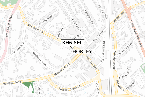
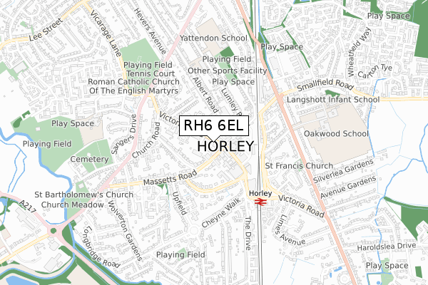
RH6 6EL is located in the Horley Central & South electoral ward, within the local authority district of Reigate and Banstead and the English Parliamentary constituency of East Surrey. The Sub Integrated Care Board (ICB) Location is NHS Surrey Heartlands ICB - 92A and the police force is Surrey. This postcode has been in use since November 2018.


GetTheData
Source: OS Open Zoomstack (Ordnance Survey)
Licence: Open Government Licence (requires attribution)
Attribution: Contains OS data © Crown copyright and database right 2024
Source: Open Postcode Geo
Licence: Open Government Licence (requires attribution)
Attribution: Contains OS data © Crown copyright and database right 2024; Contains Royal Mail data © Royal Mail copyright and database right 2024; Source: Office for National Statistics licensed under the Open Government Licence v.3.0
| Easting | 528409 |
| Northing | 143011 |
| Latitude | 51.171928 |
| Longitude | -0.164563 |
GetTheData
Source: Open Postcode Geo
Licence: Open Government Licence
| Country | England |
| Postcode District | RH6 |
➜ See where RH6 is on a map ➜ Where is Horley? | |
GetTheData
Source: Land Registry Price Paid Data
Licence: Open Government Licence
| Ward | Horley Central & South |
| Constituency | East Surrey |
GetTheData
Source: ONS Postcode Database
Licence: Open Government Licence
| Library (Victoria Road) | Horley | 52m |
| Library (Victoria Road) | Horley | 105m |
| Town Centre (Victoria Road) | Horley | 157m |
| Town Centre (Victoria Road) | Horley | 253m |
| Massetts Road | Horley | 373m |
| Gatwick North Terminal Shuttle Station (North Terminal) | Gatwick Airport | 1,470m |
| Horley Station | 0.4km |
| Gatwick Airport Station | 1.7km |
| Salfords (Surrey) Station | 3.3km |
GetTheData
Source: NaPTAN
Licence: Open Government Licence
GetTheData
Source: ONS Postcode Database
Licence: Open Government Licence


➜ Get more ratings from the Food Standards Agency
GetTheData
Source: Food Standards Agency
Licence: FSA terms & conditions
| Last Collection | |||
|---|---|---|---|
| Location | Mon-Fri | Sat | Distance |
| Martins Newsagents | 18:30 | 12:30 | 23m |
| Waitrose | 18:30 | 12:00 | 303m |
| Yattendon Road | 17:15 | 12:00 | 339m |
GetTheData
Source: Dracos
Licence: Creative Commons Attribution-ShareAlike
The below table lists the International Territorial Level (ITL) codes (formerly Nomenclature of Territorial Units for Statistics (NUTS) codes) and Local Administrative Units (LAU) codes for RH6 6EL:
| ITL 1 Code | Name |
|---|---|
| TLJ | South East (England) |
| ITL 2 Code | Name |
| TLJ2 | Surrey, East and West Sussex |
| ITL 3 Code | Name |
| TLJ26 | East Surrey |
| LAU 1 Code | Name |
| E07000211 | Reigate and Banstead |
GetTheData
Source: ONS Postcode Directory
Licence: Open Government Licence
The below table lists the Census Output Area (OA), Lower Layer Super Output Area (LSOA), and Middle Layer Super Output Area (MSOA) for RH6 6EL:
| Code | Name | |
|---|---|---|
| OA | E00155938 | |
| LSOA | E01030575 | Reigate and Banstead 018A |
| MSOA | E02006392 | Reigate and Banstead 018 |
GetTheData
Source: ONS Postcode Directory
Licence: Open Government Licence
| RH6 7AB | Victoria Road | 53m |
| RH6 7DE | Massetts Road | 63m |
| RH6 7BE | High Street | 76m |
| RH6 7PR | Massetts Road | 81m |
| RH6 7BG | Premier Parade | 89m |
| RH6 7AY | High Street | 112m |
| RH6 7DF | Massetts Road | 114m |
| RH6 7DQ | Massetts Road | 124m |
| RH6 7GX | Albert Road | 129m |
| RH6 7PZ | Victoria Road | 144m |
GetTheData
Source: Open Postcode Geo; Land Registry Price Paid Data
Licence: Open Government Licence