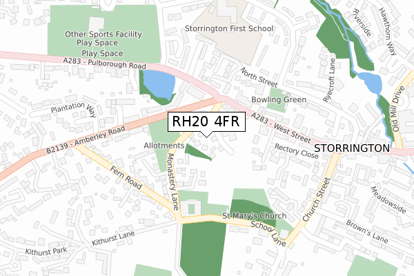
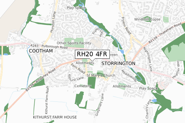
RH20 4FR is located in the Storrington & Washington electoral ward, within the local authority district of Horsham and the English Parliamentary constituency of Arundel and South Downs. The Sub Integrated Care Board (ICB) Location is NHS Sussex ICB - 70F and the police force is Sussex. This postcode has been in use since January 2020.


GetTheData
Source: OS Open Zoomstack (Ordnance Survey)
Licence: Open Government Licence (requires attribution)
Attribution: Contains OS data © Crown copyright and database right 2025
Source: Open Postcode Geo
Licence: Open Government Licence (requires attribution)
Attribution: Contains OS data © Crown copyright and database right 2025; Contains Royal Mail data © Royal Mail copyright and database right 2025; Source: Office for National Statistics licensed under the Open Government Licence v.3.0
| Easting | 508428 |
| Northing | 114306 |
| Latitude | 50.918032 |
| Longitude | -0.458843 |
GetTheData
Source: Open Postcode Geo
Licence: Open Government Licence
| Country | England |
| Postcode District | RH20 |
➜ See where RH20 is on a map ➜ Where is Storrington? | |
GetTheData
Source: Land Registry Price Paid Data
Licence: Open Government Licence
| Ward | Storrington & Washington |
| Constituency | Arundel And South Downs |
GetTheData
Source: ONS Postcode Database
Licence: Open Government Licence
3, THE GLEBE, STORRINGTON, PULBOROUGH, RH20 4FR 2020 30 OCT £975,000 |
4, THE GLEBE, STORRINGTON, PULBOROUGH, RH20 4FR 2020 9 OCT £927,500 |
9, THE GLEBE, STORRINGTON, PULBOROUGH, RH20 4FR 2020 29 MAY £840,000 |
8, THE GLEBE, STORRINGTON, PULBOROUGH, RH20 4FR 2020 31 MAR £840,000 |
5, THE GLEBE, STORRINGTON, PULBOROUGH, RH20 4FR 2020 21 FEB £845,000 |
GetTheData
Source: HM Land Registry Price Paid Data
Licence: Contains HM Land Registry data © Crown copyright and database right 2025. This data is licensed under the Open Government Licence v3.0.
| Amberley Road | Storrington | 89m |
| Amberley Road | Storrington | 97m |
| Reed Close (West Street) | Storrington | 151m |
| Reed Close (West Street) | Storrington | 152m |
| Rectory Road (West Street) | Storrington | 165m |
| Pulborough Station | 6km |
GetTheData
Source: NaPTAN
Licence: Open Government Licence
GetTheData
Source: ONS Postcode Database
Licence: Open Government Licence


➜ Get more ratings from the Food Standards Agency
GetTheData
Source: Food Standards Agency
Licence: FSA terms & conditions
| Last Collection | |||
|---|---|---|---|
| Location | Mon-Fri | Sat | Distance |
| Old Mill Drive | 17:00 | 09:30 | 466m |
| Ravenscroft | 16:00 | 10:00 | 658m |
| Storrington P O | 17:30 | 11:45 | 764m |
GetTheData
Source: Dracos
Licence: Creative Commons Attribution-ShareAlike
The below table lists the International Territorial Level (ITL) codes (formerly Nomenclature of Territorial Units for Statistics (NUTS) codes) and Local Administrative Units (LAU) codes for RH20 4FR:
| ITL 1 Code | Name |
|---|---|
| TLJ | South East (England) |
| ITL 2 Code | Name |
| TLJ2 | Surrey, East and West Sussex |
| ITL 3 Code | Name |
| TLJ28 | West Sussex (North East) |
| LAU 1 Code | Name |
| E07000227 | Horsham |
GetTheData
Source: ONS Postcode Directory
Licence: Open Government Licence
The below table lists the Census Output Area (OA), Lower Layer Super Output Area (LSOA), and Middle Layer Super Output Area (MSOA) for RH20 4FR:
| Code | Name | |
|---|---|---|
| OA | E00161300 | |
| LSOA | E01031630 | Horsham 013B |
| MSOA | E02006600 | Horsham 013 |
GetTheData
Source: ONS Postcode Directory
Licence: Open Government Licence
| RH20 4EF | Rectory Road | 105m |
| RH20 4FQ | Priory Close | 114m |
| RH20 4RJ | The Willows | 129m |
| RH20 4LR | Monastery Lane | 149m |
| RH20 4PD | Holly Close | 158m |
| RH20 4PB | North Street | 169m |
| RH20 4PE | Holly Court | 179m |
| RH20 4EE | West Street | 181m |
| RH20 4DZ | West Street | 184m |
| RH20 4JE | Amberley Road | 197m |
GetTheData
Source: Open Postcode Geo; Land Registry Price Paid Data
Licence: Open Government Licence