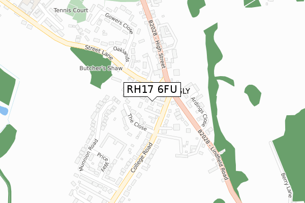
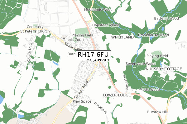
RH17 6FU is located in the Ardingly, Balcombe & Turners Hill electoral ward, within the local authority district of Mid Sussex and the English Parliamentary constituency of Horsham. The Sub Integrated Care Board (ICB) Location is NHS Sussex ICB - 70F and the police force is Sussex. This postcode has been in use since October 2019.


GetTheData
Source: OS Open Zoomstack (Ordnance Survey)
Licence: Open Government Licence (requires attribution)
Attribution: Contains OS data © Crown copyright and database right 2025
Source: Open Postcode Geo
Licence: Open Government Licence (requires attribution)
Attribution: Contains OS data © Crown copyright and database right 2025; Contains Royal Mail data © Royal Mail copyright and database right 2025; Source: Office for National Statistics licensed under the Open Government Licence v.3.0
| Easting | 534754 |
| Northing | 129403 |
| Latitude | 51.048174 |
| Longitude | -0.078934 |
GetTheData
Source: Open Postcode Geo
Licence: Open Government Licence
| Country | England |
| Postcode District | RH17 |
➜ See where RH17 is on a map ➜ Where is Ardingly? | |
GetTheData
Source: Land Registry Price Paid Data
Licence: Open Government Licence
| Ward | Ardingly, Balcombe & Turners Hill |
| Constituency | Horsham |
GetTheData
Source: ONS Postcode Database
Licence: Open Government Licence
| Hapstead Hall (Lindfield Road) | Ardingly | 86m |
| Hapstead Hall (High Street) | Ardingly | 89m |
| Hett Close (High Street) | Ardingly | 361m |
| Hett Close (High Street) | Ardingly | 375m |
| Lower Lodge (B2028) | Ardingly | 543m |
| Balcombe Station | 4.1km |
| Haywards Heath Station | 5.1km |
GetTheData
Source: NaPTAN
Licence: Open Government Licence
GetTheData
Source: ONS Postcode Database
Licence: Open Government Licence


➜ Get more ratings from the Food Standards Agency
GetTheData
Source: Food Standards Agency
Licence: FSA terms & conditions
| Last Collection | |||
|---|---|---|---|
| Location | Mon-Fri | Sat | Distance |
| Ardingly Post Office | 189m | ||
| Church Lane Ardingly | 16:15 | 08:00 | 783m |
| Lynwood Common | 17:15 | 08:30 | 1,346m |
GetTheData
Source: Dracos
Licence: Creative Commons Attribution-ShareAlike
The below table lists the International Territorial Level (ITL) codes (formerly Nomenclature of Territorial Units for Statistics (NUTS) codes) and Local Administrative Units (LAU) codes for RH17 6FU:
| ITL 1 Code | Name |
|---|---|
| TLJ | South East (England) |
| ITL 2 Code | Name |
| TLJ2 | Surrey, East and West Sussex |
| ITL 3 Code | Name |
| TLJ28 | West Sussex (North East) |
| LAU 1 Code | Name |
| E07000228 | Mid Sussex |
GetTheData
Source: ONS Postcode Directory
Licence: Open Government Licence
The below table lists the Census Output Area (OA), Lower Layer Super Output Area (LSOA), and Middle Layer Super Output Area (MSOA) for RH17 6FU:
| Code | Name | |
|---|---|---|
| OA | E00161607 | |
| LSOA | E01031694 | Mid Sussex 006A |
| MSOA | E02006609 | Mid Sussex 006 |
GetTheData
Source: ONS Postcode Directory
Licence: Open Government Licence
| RH17 6TT | College Road | 22m |
| RH17 6SZ | Street Lane | 38m |
| RH17 6TX | The Close | 66m |
| RH17 6TA | High Street | 68m |
| RH17 6TR | Lindfield Road | 91m |
| RH17 6UA | Street Lane | 99m |
| RH17 6UB | Street Lane | 100m |
| RH17 6UD | Loders | 130m |
| RH17 6AN | Ardings Close | 146m |
| RH17 6TS | Lindfield Road | 152m |
GetTheData
Source: Open Postcode Geo; Land Registry Price Paid Data
Licence: Open Government Licence