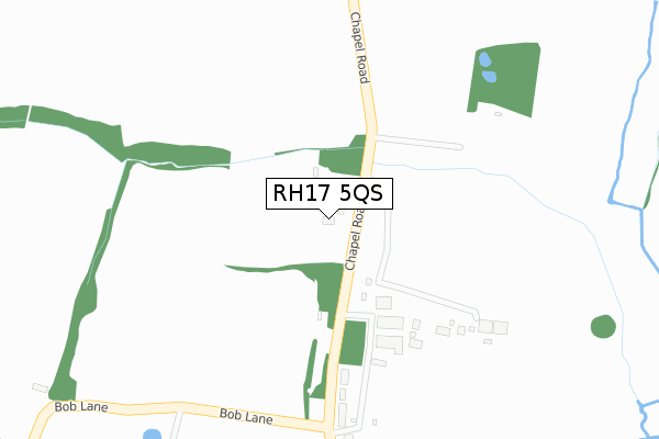
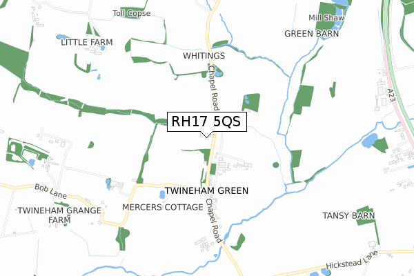
RH17 5QS is located in the Downland Villages electoral ward, within the local authority district of Mid Sussex and the English Parliamentary constituency of Mid Sussex. The Sub Integrated Care Board (ICB) Location is NHS Sussex ICB - 70F and the police force is Sussex. This postcode has been in use since February 2019.


GetTheData
Source: OS Open Zoomstack (Ordnance Survey)
Licence: Open Government Licence (requires attribution)
Attribution: Contains OS data © Crown copyright and database right 2025
Source: Open Postcode Geo
Licence: Open Government Licence (requires attribution)
Attribution: Contains OS data © Crown copyright and database right 2025; Contains Royal Mail data © Royal Mail copyright and database right 2025; Source: Office for National Statistics licensed under the Open Government Licence v.3.0
| Easting | 525469 |
| Northing | 120997 |
| Latitude | 50.974724 |
| Longitude | -0.214227 |
GetTheData
Source: Open Postcode Geo
Licence: Open Government Licence
| Country | England |
| Postcode District | RH17 |
➜ See where RH17 is on a map ➜ Where is Twineham Green? | |
GetTheData
Source: Land Registry Price Paid Data
Licence: Open Government Licence
| Ward | Downland Villages |
| Constituency | Mid Sussex |
GetTheData
Source: ONS Postcode Database
Licence: Open Government Licence
| Foxhole Lane (A272 Cowfold Road) | Bolney | 1,457m |
| Foxhole Lane (A272 Cowfold Road) | Bolney | 1,466m |
| The Castle (A23 Slip Road) | Hickstead | 1,504m |
| Roughgrass Wood (A272) | Bolney | 1,719m |
| Show Jumping Course (A23) | Hickstead | 2,109m |
GetTheData
Source: NaPTAN
Licence: Open Government Licence
| Percentage of properties with Next Generation Access | 100.0% |
| Percentage of properties with Superfast Broadband | 0.0% |
| Percentage of properties with Ultrafast Broadband | 0.0% |
| Percentage of properties with Full Fibre Broadband | 0.0% |
Superfast Broadband is between 30Mbps and 300Mbps
Ultrafast Broadband is > 300Mbps
| Percentage of properties unable to receive 2Mbps | 0.0% |
| Percentage of properties unable to receive 5Mbps | 0.0% |
| Percentage of properties unable to receive 10Mbps | 0.0% |
| Percentage of properties unable to receive 30Mbps | 100.0% |
GetTheData
Source: Ofcom
Licence: Ofcom Terms of Use (requires attribution)
GetTheData
Source: ONS Postcode Database
Licence: Open Government Licence


➜ Get more ratings from the Food Standards Agency
GetTheData
Source: Food Standards Agency
Licence: FSA terms & conditions
| Last Collection | |||
|---|---|---|---|
| Location | Mon-Fri | Sat | Distance |
| Twineham Green | 16:15 | 07:30 | 1,337m |
| Goddards Green | 16:00 | 07:30 | 3,109m |
| Buncton Lane Bolney | 16:15 | 09:00 | 3,331m |
GetTheData
Source: Dracos
Licence: Creative Commons Attribution-ShareAlike
The below table lists the International Territorial Level (ITL) codes (formerly Nomenclature of Territorial Units for Statistics (NUTS) codes) and Local Administrative Units (LAU) codes for RH17 5QS:
| ITL 1 Code | Name |
|---|---|
| TLJ | South East (England) |
| ITL 2 Code | Name |
| TLJ2 | Surrey, East and West Sussex |
| ITL 3 Code | Name |
| TLJ28 | West Sussex (North East) |
| LAU 1 Code | Name |
| E07000228 | Mid Sussex |
GetTheData
Source: ONS Postcode Directory
Licence: Open Government Licence
The below table lists the Census Output Area (OA), Lower Layer Super Output Area (LSOA), and Middle Layer Super Output Area (MSOA) for RH17 5QS:
| Code | Name | |
|---|---|---|
| OA | E00161639 | |
| LSOA | E01031698 | Mid Sussex 016A |
| MSOA | E02006619 | Mid Sussex 016 |
GetTheData
Source: ONS Postcode Directory
Licence: Open Government Licence
| RH17 5NG | Bolney Chapel Road | 254m |
| RH17 5NN | Bolney Chapel Road | 363m |
| RH17 5NH | Bob Lane | 950m |
| RH17 5SG | Cowfold Road | 1127m |
| RH17 5NR | Church Lane | 1172m |
| RH17 5LZ | London Road | 1176m |
| RH17 5NP | Twineham Lane | 1227m |
| RH17 5QY | Chapel Road | 1285m |
| RH17 5QX | Cowfold Road | 1441m |
| RH17 5QU | Cowfold Road | 1452m |
GetTheData
Source: Open Postcode Geo; Land Registry Price Paid Data
Licence: Open Government Licence