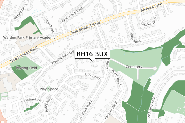
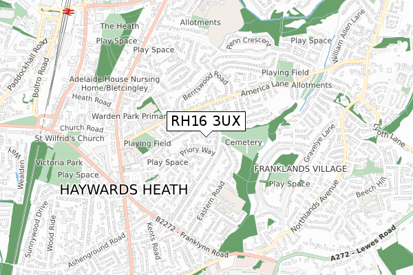
RH16 3UX is located in the Haywards Heath Bentswood & Heath electoral ward, within the local authority district of Mid Sussex and the English Parliamentary constituency of Mid Sussex. The Sub Integrated Care Board (ICB) Location is NHS Sussex ICB - 70F and the police force is Sussex. This postcode has been in use since January 2018.


GetTheData
Source: OS Open Zoomstack (Ordnance Survey)
Licence: Open Government Licence (requires attribution)
Attribution: Contains OS data © Crown copyright and database right 2025
Source: Open Postcode Geo
Licence: Open Government Licence (requires attribution)
Attribution: Contains OS data © Crown copyright and database right 2025; Contains Royal Mail data © Royal Mail copyright and database right 2025; Source: Office for National Statistics licensed under the Open Government Licence v.3.0
| Easting | 533890 |
| Northing | 123869 |
| Latitude | 50.998641 |
| Longitude | -0.093295 |
GetTheData
Source: Open Postcode Geo
Licence: Open Government Licence
| Country | England |
| Postcode District | RH16 |
➜ See where RH16 is on a map ➜ Where is Haywards Heath? | |
GetTheData
Source: Land Registry Price Paid Data
Licence: Open Government Licence
| Ward | Haywards Heath Bentswood & Heath |
| Constituency | Mid Sussex |
GetTheData
Source: ONS Postcode Database
Licence: Open Government Licence
| Cemetery (Western Road) | Haywards Heath | 81m |
| Priory Way (Western Road) | Haywards Heath | 136m |
| New England Road (Western Road) | Haywards Heath | 145m |
| New England Road (Western Road) | Haywards Heath | 169m |
| High Trees (New England Road) | Haywards Heath | 225m |
| Haywards Heath Station | 1.1km |
| Wivelsfield Station | 4.3km |
GetTheData
Source: NaPTAN
Licence: Open Government Licence
GetTheData
Source: ONS Postcode Database
Licence: Open Government Licence


➜ Get more ratings from the Food Standards Agency
GetTheData
Source: Food Standards Agency
Licence: FSA terms & conditions
| Last Collection | |||
|---|---|---|---|
| Location | Mon-Fri | Sat | Distance |
| America Lane P O | 17:00 | 12:00 | 402m |
| Syresham Gardens | 17:15 | 12:00 | 500m |
| Western Road | 17:15 | 12:00 | 524m |
GetTheData
Source: Dracos
Licence: Creative Commons Attribution-ShareAlike
The below table lists the International Territorial Level (ITL) codes (formerly Nomenclature of Territorial Units for Statistics (NUTS) codes) and Local Administrative Units (LAU) codes for RH16 3UX:
| ITL 1 Code | Name |
|---|---|
| TLJ | South East (England) |
| ITL 2 Code | Name |
| TLJ2 | Surrey, East and West Sussex |
| ITL 3 Code | Name |
| TLJ28 | West Sussex (North East) |
| LAU 1 Code | Name |
| E07000228 | Mid Sussex |
GetTheData
Source: ONS Postcode Directory
Licence: Open Government Licence
The below table lists the Census Output Area (OA), Lower Layer Super Output Area (LSOA), and Middle Layer Super Output Area (MSOA) for RH16 3UX:
| Code | Name | |
|---|---|---|
| OA | E00161919 | |
| LSOA | E01031754 | Mid Sussex 010C |
| MSOA | E02006613 | Mid Sussex 010 |
GetTheData
Source: ONS Postcode Directory
Licence: Open Government Licence
| RH16 3LH | Western Road | 66m |
| RH16 3LT | Priory Way | 97m |
| RH16 3JX | Windermere Road | 103m |
| RH16 3JU | Woodlands Road | 118m |
| RH16 3SZ | Firlands | 131m |
| RH16 3LQ | Western Road | 140m |
| RH16 3LS | Priory Way | 147m |
| RH16 3LN | Western Road | 155m |
| RH16 3LW | Western Road | 163m |
| RH16 3PJ | Jubilee Close | 170m |
GetTheData
Source: Open Postcode Geo; Land Registry Price Paid Data
Licence: Open Government Licence