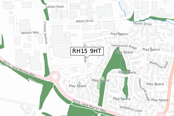
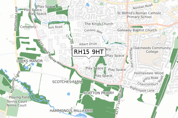
RH15 9HT is located in the Burgess Hill Meeds & Hammonds electoral ward, within the local authority district of Mid Sussex and the English Parliamentary constituency of Mid Sussex. The Sub Integrated Care Board (ICB) Location is NHS Sussex ICB - 70F and the police force is Sussex. This postcode has been in use since April 2019.


GetTheData
Source: OS Open Zoomstack (Ordnance Survey)
Licence: Open Government Licence (requires attribution)
Attribution: Contains OS data © Crown copyright and database right 2025
Source: Open Postcode Geo
Licence: Open Government Licence (requires attribution)
Attribution: Contains OS data © Crown copyright and database right 2025; Contains Royal Mail data © Royal Mail copyright and database right 2025; Source: Office for National Statistics licensed under the Open Government Licence v.3.0
| Easting | 530254 |
| Northing | 118398 |
| Latitude | 50.950303 |
| Longitude | -0.147039 |
GetTheData
Source: Open Postcode Geo
Licence: Open Government Licence
| Country | England |
| Postcode District | RH15 |
➜ See where RH15 is on a map ➜ Where is Burgess Hill? | |
GetTheData
Source: Land Registry Price Paid Data
Licence: Open Government Licence
| Ward | Burgess Hill Meeds & Hammonds |
| Constituency | Mid Sussex |
GetTheData
Source: ONS Postcode Database
Licence: Open Government Licence
| Tesco (A273) | Burgess Hill | 155m |
| Sovereign Business Park (Albert Drive) | Burgess Hill | 194m |
| Sovereign Business Park (Albert Drive) | Burgess Hill | 204m |
| The Acorn (Charles Avenue) | Burgess Hill | 230m |
| Jubilee Road (Albert Drive) | Burgess Hill | 252m |
| Burgess Hill Station | 1.4km |
| Wivelsfield Station | 2.4km |
| Hassocks Station | 2.9km |
GetTheData
Source: NaPTAN
Licence: Open Government Licence
| Percentage of properties with Next Generation Access | 100.0% |
| Percentage of properties with Superfast Broadband | 100.0% |
| Percentage of properties with Ultrafast Broadband | 100.0% |
| Percentage of properties with Full Fibre Broadband | 100.0% |
Superfast Broadband is between 30Mbps and 300Mbps
Ultrafast Broadband is > 300Mbps
| Percentage of properties unable to receive 2Mbps | 0.0% |
| Percentage of properties unable to receive 5Mbps | 0.0% |
| Percentage of properties unable to receive 10Mbps | 0.0% |
| Percentage of properties unable to receive 30Mbps | 0.0% |
GetTheData
Source: Ofcom
Licence: Ofcom Terms of Use (requires attribution)
GetTheData
Source: ONS Postcode Database
Licence: Open Government Licence


➜ Get more ratings from the Food Standards Agency
GetTheData
Source: Food Standards Agency
Licence: FSA terms & conditions
| Last Collection | |||
|---|---|---|---|
| Location | Mon-Fri | Sat | Distance |
| Tesco Superstore | 18:15 | 11:30 | 147m |
| Victoria Way | 18:30 | 644m | |
| Burgess Hill Delivery Office | 18:30 | 12:00 | 676m |
GetTheData
Source: Dracos
Licence: Creative Commons Attribution-ShareAlike
The below table lists the International Territorial Level (ITL) codes (formerly Nomenclature of Territorial Units for Statistics (NUTS) codes) and Local Administrative Units (LAU) codes for RH15 9HT:
| ITL 1 Code | Name |
|---|---|
| TLJ | South East (England) |
| ITL 2 Code | Name |
| TLJ2 | Surrey, East and West Sussex |
| ITL 3 Code | Name |
| TLJ28 | West Sussex (North East) |
| LAU 1 Code | Name |
| E07000228 | Mid Sussex |
GetTheData
Source: ONS Postcode Directory
Licence: Open Government Licence
The below table lists the Census Output Area (OA), Lower Layer Super Output Area (LSOA), and Middle Layer Super Output Area (MSOA) for RH15 9HT:
| Code | Name | |
|---|---|---|
| OA | E00161728 | |
| LSOA | E01031715 | Mid Sussex 015D |
| MSOA | E02006618 | Mid Sussex 015 |
GetTheData
Source: ONS Postcode Directory
Licence: Open Government Licence
| RH15 9LS | Selby Close | 67m |
| RH15 9RG | Bulbeck Close | 118m |
| RH15 9QW | Hammonds Ridge | 122m |
| RH15 9RH | Daynes Way | 170m |
| RH15 9TN | Albert Drive | 171m |
| RH15 9QE | Shotters | 181m |
| RH15 9QX | Michelbourne Close | 211m |
| RH15 9RR | Woolven Close | 230m |
| RH15 9UX | Henry Burt Way | 230m |
| RH15 9UY | Beale Street | 236m |
GetTheData
Source: Open Postcode Geo; Land Registry Price Paid Data
Licence: Open Government Licence