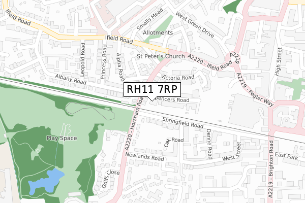
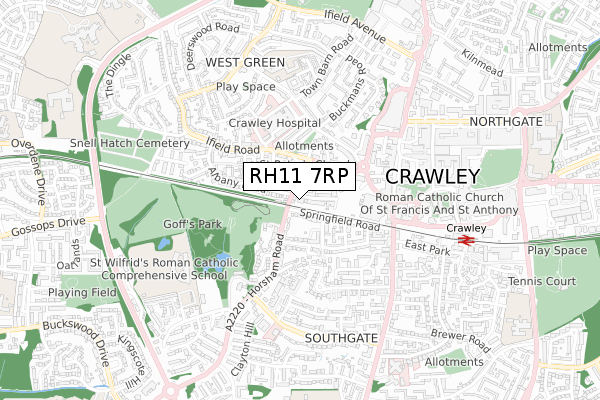
RH11 7RP is located in the Northgate & West Green electoral ward, within the local authority district of Crawley and the English Parliamentary constituency of Crawley. The Sub Integrated Care Board (ICB) Location is NHS Sussex ICB - 70F and the police force is Sussex. This postcode has been in use since January 2018.


GetTheData
Source: OS Open Zoomstack (Ordnance Survey)
Licence: Open Government Licence (requires attribution)
Attribution: Contains OS data © Crown copyright and database right 2025
Source: Open Postcode Geo
Licence: Open Government Licence (requires attribution)
Attribution: Contains OS data © Crown copyright and database right 2025; Contains Royal Mail data © Royal Mail copyright and database right 2025; Source: Office for National Statistics licensed under the Open Government Licence v.3.0
| Easting | 526361 |
| Northing | 136481 |
| Latitude | 51.113694 |
| Longitude | -0.196131 |
GetTheData
Source: Open Postcode Geo
Licence: Open Government Licence
| Country | England |
| Postcode District | RH11 |
➜ See where RH11 is on a map ➜ Where is Crawley? | |
GetTheData
Source: Land Registry Price Paid Data
Licence: Open Government Licence
| Ward | Northgate & West Green |
| Constituency | Crawley |
GetTheData
Source: ONS Postcode Database
Licence: Open Government Licence
| Newlands Road (Horsham Road) | West Green | 114m |
| The Swan Ph (Horsham Road) | West Green | 137m |
| The Swan Ph (Horsham Road) | West Green | 145m |
| Newlands Road (Horsham Road) | West Green | 171m |
| Ifield Road Asda (Ifield Road) | West Green | 220m |
| Crawley Station | 0.7km |
| Ifield Station | 1.3km |
| Three Bridges Station | 2.5km |
GetTheData
Source: NaPTAN
Licence: Open Government Licence
| Percentage of properties with Next Generation Access | 100.0% |
| Percentage of properties with Superfast Broadband | 100.0% |
| Percentage of properties with Ultrafast Broadband | 100.0% |
| Percentage of properties with Full Fibre Broadband | 0.0% |
Superfast Broadband is between 30Mbps and 300Mbps
Ultrafast Broadband is > 300Mbps
| Percentage of properties unable to receive 2Mbps | 0.0% |
| Percentage of properties unable to receive 5Mbps | 0.0% |
| Percentage of properties unable to receive 10Mbps | 0.0% |
| Percentage of properties unable to receive 30Mbps | 0.0% |
GetTheData
Source: Ofcom
Licence: Ofcom Terms of Use (requires attribution)
GetTheData
Source: ONS Postcode Database
Licence: Open Government Licence


➜ Get more ratings from the Food Standards Agency
GetTheData
Source: Food Standards Agency
Licence: FSA terms & conditions
| Last Collection | |||
|---|---|---|---|
| Location | Mon-Fri | Sat | Distance |
| Church Street | 17:45 | 12:00 | 150m |
| Springfield Road | 17:30 | 12:00 | 283m |
| Crawley Hospital | 17:30 | 12:00 | 346m |
GetTheData
Source: Dracos
Licence: Creative Commons Attribution-ShareAlike
The below table lists the International Territorial Level (ITL) codes (formerly Nomenclature of Territorial Units for Statistics (NUTS) codes) and Local Administrative Units (LAU) codes for RH11 7RP:
| ITL 1 Code | Name |
|---|---|
| TLJ | South East (England) |
| ITL 2 Code | Name |
| TLJ2 | Surrey, East and West Sussex |
| ITL 3 Code | Name |
| TLJ28 | West Sussex (North East) |
| LAU 1 Code | Name |
| E07000226 | Crawley |
GetTheData
Source: ONS Postcode Directory
Licence: Open Government Licence
The below table lists the Census Output Area (OA), Lower Layer Super Output Area (LSOA), and Middle Layer Super Output Area (MSOA) for RH11 7RP:
| Code | Name | |
|---|---|---|
| OA | E00161188 | |
| LSOA | E01031608 | Crawley 007E |
| MSOA | E02006581 | Crawley 007 |
GetTheData
Source: ONS Postcode Directory
Licence: Open Government Licence
| RH11 7AX | Horsham Road | 44m |
| RH11 7AY | Horsham Road | 62m |
| RH11 7DE | Spencers Road | 74m |
| RH11 8AH | Springfield Road | 77m |
| RH11 7DA | Spencers Road | 90m |
| RH11 7AZ | Alpha Road | 109m |
| RH11 7AU | Victoria Road | 121m |
| RH11 8PA | Horsham Road | 142m |
| RH11 7BA | Prospect Place | 143m |
| RH11 8AE | Oak Road | 143m |
GetTheData
Source: Open Postcode Geo; Land Registry Price Paid Data
Licence: Open Government Licence