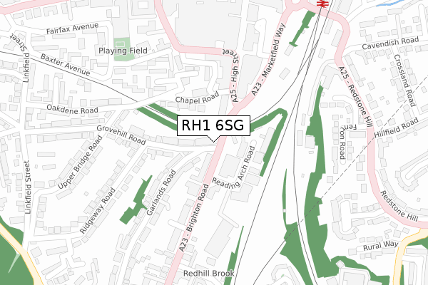
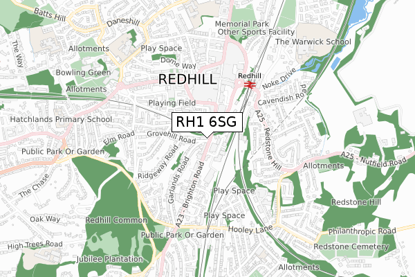
RH1 6SG is located in the Meadvale & St John's electoral ward, within the local authority district of Reigate and Banstead and the English Parliamentary constituency of Reigate. The Sub Integrated Care Board (ICB) Location is NHS Surrey Heartlands ICB - 92A and the police force is Surrey. This postcode has been in use since June 2019.


GetTheData
Source: OS Open Zoomstack (Ordnance Survey)
Licence: Open Government Licence (requires attribution)
Attribution: Contains OS data © Crown copyright and database right 2025
Source: Open Postcode Geo
Licence: Open Government Licence (requires attribution)
Attribution: Contains OS data © Crown copyright and database right 2025; Contains Royal Mail data © Royal Mail copyright and database right 2025; Source: Office for National Statistics licensed under the Open Government Licence v.3.0
| Easting | 527881 |
| Northing | 150262 |
| Latitude | 51.237215 |
| Longitude | -0.169531 |
GetTheData
Source: Open Postcode Geo
Licence: Open Government Licence
| Country | England |
| Postcode District | RH1 |
➜ See where RH1 is on a map ➜ Where is Redhill? | |
GetTheData
Source: Land Registry Price Paid Data
Licence: Open Government Licence
| Ward | Meadvale & St John's |
| Constituency | Reigate |
GetTheData
Source: ONS Postcode Database
Licence: Open Government Licence
| High Street | Redhill | 172m |
| High Street | Redhill | 181m |
| Brook Road (Brighton Road) | Redhill | 218m |
| Brook Road (Brighton Road) | Redhill | 279m |
| Redhill Railway Station (Redstone Hill) | Redhill | 368m |
| Redhill Station | 0.4km |
| Earlswood (Surrey) Station | 1.1km |
| Reigate Station | 2.5km |
GetTheData
Source: NaPTAN
Licence: Open Government Licence
GetTheData
Source: ONS Postcode Database
Licence: Open Government Licence


➜ Get more ratings from the Food Standards Agency
GetTheData
Source: Food Standards Agency
Licence: FSA terms & conditions
| Last Collection | |||
|---|---|---|---|
| Location | Mon-Fri | Sat | Distance |
| Cromwell Road | 17:30 | 12:30 | 220m |
| Upper Bridge Road | 17:30 | 12:30 | 244m |
| High Street | 18:00 | 12:30 | 304m |
GetTheData
Source: Dracos
Licence: Creative Commons Attribution-ShareAlike
The below table lists the International Territorial Level (ITL) codes (formerly Nomenclature of Territorial Units for Statistics (NUTS) codes) and Local Administrative Units (LAU) codes for RH1 6SG:
| ITL 1 Code | Name |
|---|---|
| TLJ | South East (England) |
| ITL 2 Code | Name |
| TLJ2 | Surrey, East and West Sussex |
| ITL 3 Code | Name |
| TLJ26 | East Surrey |
| LAU 1 Code | Name |
| E07000211 | Reigate and Banstead |
GetTheData
Source: ONS Postcode Directory
Licence: Open Government Licence
The below table lists the Census Output Area (OA), Lower Layer Super Output Area (LSOA), and Middle Layer Super Output Area (MSOA) for RH1 6SG:
| Code | Name | |
|---|---|---|
| OA | E00156116 | |
| LSOA | E01030613 | Reigate and Banstead 011D |
| MSOA | E02006385 | Reigate and Banstead 011 |
GetTheData
Source: ONS Postcode Directory
Licence: Open Government Licence
| RH1 6PP | Brighton Road | 79m |
| RH1 1HH | Chapel Road | 100m |
| RH1 6NX | Garlands Road | 108m |
| RH1 6PJ | Grovehill Road | 116m |
| RH1 1LA | Chapel Road | 123m |
| RH1 1RX | High Street | 158m |
| RH1 1RT | Cromwell Road | 166m |
| RH1 6PL | Garlands Road | 168m |
| RH1 1HP | Huntingdon Road | 179m |
| RH1 6NT | Garlands Road | 187m |
GetTheData
Source: Open Postcode Geo; Land Registry Price Paid Data
Licence: Open Government Licence