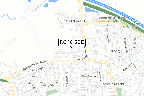
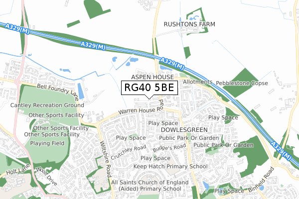
RG40 5BE is located in the Norreys electoral ward, within the unitary authority of Wokingham and the English Parliamentary constituency of Wokingham. The Sub Integrated Care Board (ICB) Location is NHS Buckinghamshire, Oxfordshire and Berkshire West ICB - 15A and the police force is Thames Valley. This postcode has been in use since November 2018.


GetTheData
Source: OS Open Zoomstack (Ordnance Survey)
Licence: Open Government Licence (requires attribution)
Attribution: Contains OS data © Crown copyright and database right 2024
Source: Open Postcode Geo
Licence: Open Government Licence (requires attribution)
Attribution: Contains OS data © Crown copyright and database right 2024; Contains Royal Mail data © Royal Mail copyright and database right 2024; Source: Office for National Statistics licensed under the Open Government Licence v.3.0
| Easting | 481809 |
| Northing | 169901 |
| Latitude | 51.422227 |
| Longitude | -0.824802 |
GetTheData
Source: Open Postcode Geo
Licence: Open Government Licence
| Country | England |
| Postcode District | RG40 |
➜ See where RG40 is on a map ➜ Where is Wokingham? | |
GetTheData
Source: Land Registry Price Paid Data
Licence: Open Government Licence
| Ward | Norreys |
| Constituency | Wokingham |
GetTheData
Source: ONS Postcode Database
Licence: Open Government Licence
| Ashridge Road | Wokingham | 191m |
| Mulberry Grove (Keephatch Road) | Wokingham | 310m |
| Budges Road | Wokingham | 409m |
| Sarum Crescent (Crutchley Drive) | Wokingham | 418m |
| Budges Road | Wokingham | 421m |
| Wokingham Station | 1.7km |
| Winnersh Station | 3.7km |
| Winnersh Triangle Station | 4.9km |
GetTheData
Source: NaPTAN
Licence: Open Government Licence
| Percentage of properties with Next Generation Access | 100.0% |
| Percentage of properties with Superfast Broadband | 100.0% |
| Percentage of properties with Ultrafast Broadband | 100.0% |
| Percentage of properties with Full Fibre Broadband | 100.0% |
Superfast Broadband is between 30Mbps and 300Mbps
Ultrafast Broadband is > 300Mbps
| Percentage of properties unable to receive 2Mbps | 0.0% |
| Percentage of properties unable to receive 5Mbps | 0.0% |
| Percentage of properties unable to receive 10Mbps | 0.0% |
| Percentage of properties unable to receive 30Mbps | 0.0% |
GetTheData
Source: Ofcom
Licence: Ofcom Terms of Use (requires attribution)
GetTheData
Source: ONS Postcode Database
Licence: Open Government Licence


➜ Get more ratings from the Food Standards Agency
GetTheData
Source: Food Standards Agency
Licence: FSA terms & conditions
| Last Collection | |||
|---|---|---|---|
| Location | Mon-Fri | Sat | Distance |
| Wiltshire Road | 16:45 | 11:15 | 548m |
| Rectory Road | 16:00 | 11:15 | 1,128m |
| Milton Road | 16:00 | 11:00 | 1,130m |
GetTheData
Source: Dracos
Licence: Creative Commons Attribution-ShareAlike
The below table lists the International Territorial Level (ITL) codes (formerly Nomenclature of Territorial Units for Statistics (NUTS) codes) and Local Administrative Units (LAU) codes for RG40 5BE:
| ITL 1 Code | Name |
|---|---|
| TLJ | South East (England) |
| ITL 2 Code | Name |
| TLJ1 | Berkshire, Buckinghamshire and Oxfordshire |
| ITL 3 Code | Name |
| TLJ11 | Berkshire |
| LAU 1 Code | Name |
| E06000041 | Wokingham |
GetTheData
Source: ONS Postcode Directory
Licence: Open Government Licence
The below table lists the Census Output Area (OA), Lower Layer Super Output Area (LSOA), and Middle Layer Super Output Area (MSOA) for RG40 5BE:
| Code | Name | |
|---|---|---|
| OA | E00084140 | |
| LSOA | E01016674 | Wokingham 013D |
| MSOA | E02003451 | Wokingham 013 |
GetTheData
Source: ONS Postcode Directory
Licence: Open Government Licence
| RG40 5PN | Warren House Road | 116m |
| RG40 5RE | Warren House Road | 156m |
| RG40 1PS | Eustace Crescent | 177m |
| RG40 5QA | Keephatch Road | 203m |
| RG40 1QD | Keephatch Road | 204m |
| RG40 5AN | Beaver Place | 205m |
| RG40 1PP | Ashridge Road | 219m |
| RG40 1QE | Greencroft | 245m |
| RG40 5AH | Wheeler Avenue | 245m |
| RG40 1YL | Leney Close | 260m |
GetTheData
Source: Open Postcode Geo; Land Registry Price Paid Data
Licence: Open Government Licence