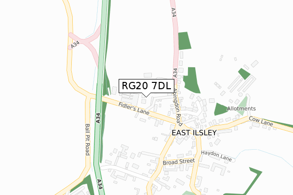
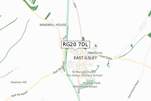
RG20 7DL is located in the Ridgeway electoral ward, within the unitary authority of West Berkshire and the English Parliamentary constituency of Newbury. The Sub Integrated Care Board (ICB) Location is NHS Buckinghamshire, Oxfordshire and Berkshire West ICB - 15A and the police force is Thames Valley. This postcode has been in use since November 2019.


GetTheData
Source: OS Open Zoomstack (Ordnance Survey)
Licence: Open Government Licence (requires attribution)
Attribution: Contains OS data © Crown copyright and database right 2025
Source: Open Postcode Geo
Licence: Open Government Licence (requires attribution)
Attribution: Contains OS data © Crown copyright and database right 2025; Contains Royal Mail data © Royal Mail copyright and database right 2025; Source: Office for National Statistics licensed under the Open Government Licence v.3.0
| Easting | 449188 |
| Northing | 181263 |
| Latitude | 51.528144 |
| Longitude | -1.292324 |
GetTheData
Source: Open Postcode Geo
Licence: Open Government Licence
| Country | England |
| Postcode District | RG20 |
➜ See where RG20 is on a map ➜ Where is East Ilsley? | |
GetTheData
Source: Land Registry Price Paid Data
Licence: Open Government Licence
| Ward | Ridgeway |
| Constituency | Newbury |
GetTheData
Source: ONS Postcode Database
Licence: Open Government Licence
| Church Hill (Broad Street) | East Ilsley | 270m |
| Sunrise Hill (Cow Lane) | East Ilsley | 693m |
| Sunrise Hill (Cow Lane) | East Ilsley | 723m |
GetTheData
Source: NaPTAN
Licence: Open Government Licence
GetTheData
Source: ONS Postcode Database
Licence: Open Government Licence

➜ Get more ratings from the Food Standards Agency
GetTheData
Source: Food Standards Agency
Licence: FSA terms & conditions
| Last Collection | |||
|---|---|---|---|
| Location | Mon-Fri | Sat | Distance |
| East Isley Post Office | 16:00 | 09:00 | 275m |
| West Isley Post Office | 16:00 | 09:00 | 1,928m |
| Village Hall, West Ilsley | 16:00 | 09:00 | 2,339m |
GetTheData
Source: Dracos
Licence: Creative Commons Attribution-ShareAlike
The below table lists the International Territorial Level (ITL) codes (formerly Nomenclature of Territorial Units for Statistics (NUTS) codes) and Local Administrative Units (LAU) codes for RG20 7DL:
| ITL 1 Code | Name |
|---|---|
| TLJ | South East (England) |
| ITL 2 Code | Name |
| TLJ1 | Berkshire, Buckinghamshire and Oxfordshire |
| ITL 3 Code | Name |
| TLJ11 | Berkshire |
| LAU 1 Code | Name |
| E06000037 | West Berkshire |
GetTheData
Source: ONS Postcode Directory
Licence: Open Government Licence
The below table lists the Census Output Area (OA), Lower Layer Super Output Area (LSOA), and Middle Layer Super Output Area (MSOA) for RG20 7DL:
| Code | Name | |
|---|---|---|
| OA | E00082274 | |
| LSOA | E01016288 | West Berkshire 001D |
| MSOA | E02003367 | West Berkshire 001 |
GetTheData
Source: ONS Postcode Directory
Licence: Open Government Licence
| RG20 7ND | Sheepdown | 41m |
| RG20 7LG | Fidlers Lane | 70m |
| RG20 7LQ | Abingdon Road | 109m |
| RG20 7JB | Farriers Lane | 174m |
| RG20 7LF | High Street | 177m |
| RG20 7LZ | Abingdon Road | 179m |
| RG20 7LH | Compton Road | 188m |
| RG20 7LX | Narborough Lane | 235m |
| RG20 7JZ | St Patricks Close | 242m |
| RG20 7LE | High Street | 257m |
GetTheData
Source: Open Postcode Geo; Land Registry Price Paid Data
Licence: Open Government Licence