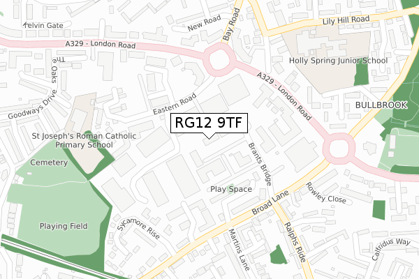
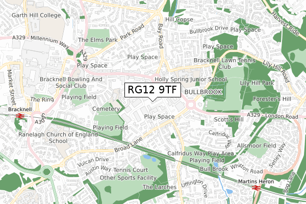
RG12 9TF is located in the Bullbrook electoral ward, within the unitary authority of Bracknell Forest and the English Parliamentary constituency of Bracknell. The Sub Integrated Care Board (ICB) Location is NHS Frimley ICB - D4U1Y and the police force is Thames Valley. This postcode has been in use since June 2019.


GetTheData
Source: OS Open Zoomstack (Ordnance Survey)
Licence: Open Government Licence (requires attribution)
Attribution: Contains OS data © Crown copyright and database right 2025
Source: Open Postcode Geo
Licence: Open Government Licence (requires attribution)
Attribution: Contains OS data © Crown copyright and database right 2025; Contains Royal Mail data © Royal Mail copyright and database right 2025; Source: Office for National Statistics licensed under the Open Government Licence v.3.0
| Easting | 487986 |
| Northing | 169070 |
| Latitude | 51.413833 |
| Longitude | -0.736193 |
GetTheData
Source: Open Postcode Geo
Licence: Open Government Licence
| Country | England |
| Postcode District | RG12 |
➜ See where RG12 is on a map ➜ Where is Bracknell? | |
GetTheData
Source: Land Registry Price Paid Data
Licence: Open Government Licence
| Ward | Bullbrook |
| Constituency | Bracknell |
GetTheData
Source: ONS Postcode Database
Licence: Open Government Licence
| Ethyl Labs (London Road) | Bullbrook | 208m |
| Brants Bridge (Broad Lane) | Eastern Industrial Area | 227m |
| Bay Road (London Road) | Bracknell | 242m |
| Brants Bridge (Ralphs Ride) | Eastern Industrial Area | 242m |
| Bay Road (London Road) | Bracknell | 244m |
| Bracknell Station | 1.1km |
| Martins Heron Station | 1.1km |
| Ascot Station | 4.3km |
GetTheData
Source: NaPTAN
Licence: Open Government Licence
GetTheData
Source: ONS Postcode Database
Licence: Open Government Licence


➜ Get more ratings from the Food Standards Agency
GetTheData
Source: Food Standards Agency
Licence: FSA terms & conditions
| Last Collection | |||
|---|---|---|---|
| Location | Mon-Fri | Sat | Distance |
| London Road | 16:00 | 11:45 | 590m |
| Beedon Drive | 16:00 | 12:00 | 652m |
| High Street P.o. Meter Box | 816m | ||
GetTheData
Source: Dracos
Licence: Creative Commons Attribution-ShareAlike
The below table lists the International Territorial Level (ITL) codes (formerly Nomenclature of Territorial Units for Statistics (NUTS) codes) and Local Administrative Units (LAU) codes for RG12 9TF:
| ITL 1 Code | Name |
|---|---|
| TLJ | South East (England) |
| ITL 2 Code | Name |
| TLJ1 | Berkshire, Buckinghamshire and Oxfordshire |
| ITL 3 Code | Name |
| TLJ11 | Berkshire |
| LAU 1 Code | Name |
| E06000036 | Bracknell Forest |
GetTheData
Source: ONS Postcode Directory
Licence: Open Government Licence
The below table lists the Census Output Area (OA), Lower Layer Super Output Area (LSOA), and Middle Layer Super Output Area (MSOA) for RG12 9TF:
| Code | Name | |
|---|---|---|
| OA | E00081829 | |
| LSOA | E01032728 | Bracknell Forest 006G |
| MSOA | E02003357 | Bracknell Forest 006 |
GetTheData
Source: ONS Postcode Directory
Licence: Open Government Licence
| RG12 9AF | Ogden Park | 132m |
| RG12 9AE | Ogden Park | 180m |
| RG12 9GL | Newton Terrace | 225m |
| RG12 9BJ | Broad Lane | 228m |
| RG12 9GF | Sycamore Rise | 235m |
| RG12 9GH | Sycamore Rise | 240m |
| RG12 2NN | Bay Road | 246m |
| RG12 9TR | Rowley Close | 255m |
| RG12 9GQ | Tangmere Mews | 258m |
| RG12 2NP | Bay Road | 268m |
GetTheData
Source: Open Postcode Geo; Land Registry Price Paid Data
Licence: Open Government Licence