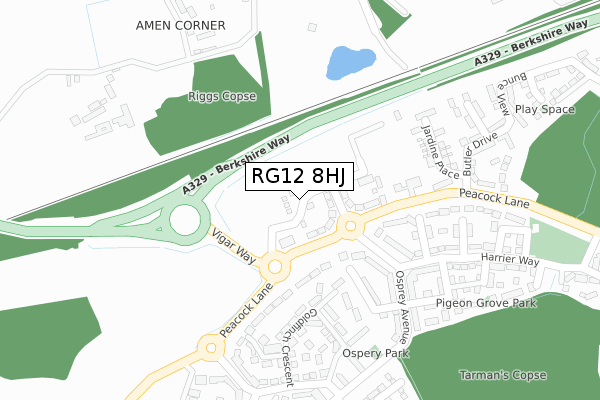
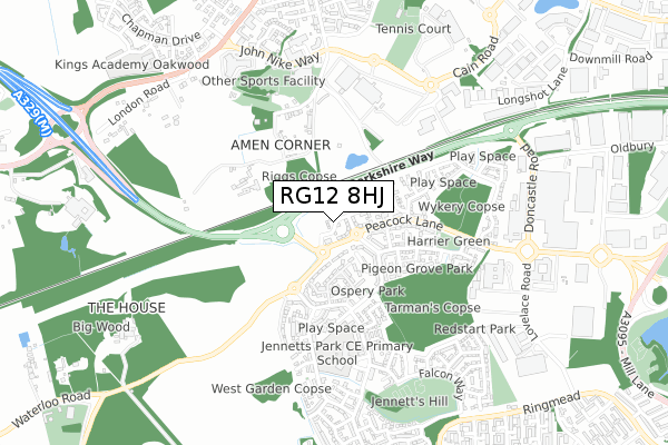
RG12 8HJ is located in the Binfield South & Jennett's Park electoral ward, within the unitary authority of Bracknell Forest and the English Parliamentary constituency of Windsor. The Sub Integrated Care Board (ICB) Location is NHS Frimley ICB - D4U1Y and the police force is Thames Valley. This postcode has been in use since July 2018.


GetTheData
Source: OS Open Zoomstack (Ordnance Survey)
Licence: Open Government Licence (requires attribution)
Attribution: Contains OS data © Crown copyright and database right 2025
Source: Open Postcode Geo
Licence: Open Government Licence (requires attribution)
Attribution: Contains OS data © Crown copyright and database right 2025; Contains Royal Mail data © Royal Mail copyright and database right 2025; Source: Office for National Statistics licensed under the Open Government Licence v.3.0
| Easting | 484600 |
| Northing | 168552 |
| Latitude | 51.409691 |
| Longitude | -0.784994 |
GetTheData
Source: Open Postcode Geo
Licence: Open Government Licence
| Country | England |
| Postcode District | RG12 |
➜ See where RG12 is on a map ➜ Where is Bracknell? | |
GetTheData
Source: Land Registry Price Paid Data
Licence: Open Government Licence
| Ward | Binfield South & Jennett's Park |
| Constituency | Windsor |
GetTheData
Source: ONS Postcode Database
Licence: Open Government Licence
| Peacock Farm (Peacock Lane) | Jennetts Park | 216m |
| Fieldfare Drive (Osprey Avenue) | Jennetts Park | 239m |
| Fieldfare Drive (Osprey Avenue) | Jennetts Park | 252m |
| Peacock Farm (Peacock Lane) | Jennetts Park | 257m |
| Burnthouse Ride (Sparrowhawk Way) | Jennetts Park | 300m |
| Bracknell Station | 2.3km |
| Wokingham Station | 4km |
| Martins Heron Station | 4.2km |
GetTheData
Source: NaPTAN
Licence: Open Government Licence
| Percentage of properties with Next Generation Access | 22.0% |
| Percentage of properties with Superfast Broadband | 22.0% |
| Percentage of properties with Ultrafast Broadband | 22.0% |
| Percentage of properties with Full Fibre Broadband | 22.0% |
Superfast Broadband is between 30Mbps and 300Mbps
Ultrafast Broadband is > 300Mbps
| Percentage of properties unable to receive 2Mbps | 0.0% |
| Percentage of properties unable to receive 5Mbps | 0.0% |
| Percentage of properties unable to receive 10Mbps | 78.0% |
| Percentage of properties unable to receive 30Mbps | 78.0% |
GetTheData
Source: Ofcom
Licence: Ofcom Terms of Use (requires attribution)
GetTheData
Source: ONS Postcode Database
Licence: Open Government Licence


➜ Get more ratings from the Food Standards Agency
GetTheData
Source: Food Standards Agency
Licence: FSA terms & conditions
| Last Collection | |||
|---|---|---|---|
| Location | Mon-Fri | Sat | Distance |
| Ellisfield Avenue | 18:30 | 11:45 | 545m |
| Ringwood | 16:00 | 11:45 | 869m |
| Bracknell Delivery Office | 18:45 | 12:15 | 1,170m |
GetTheData
Source: Dracos
Licence: Creative Commons Attribution-ShareAlike
The below table lists the International Territorial Level (ITL) codes (formerly Nomenclature of Territorial Units for Statistics (NUTS) codes) and Local Administrative Units (LAU) codes for RG12 8HJ:
| ITL 1 Code | Name |
|---|---|
| TLJ | South East (England) |
| ITL 2 Code | Name |
| TLJ1 | Berkshire, Buckinghamshire and Oxfordshire |
| ITL 3 Code | Name |
| TLJ11 | Berkshire |
| LAU 1 Code | Name |
| E06000036 | Bracknell Forest |
GetTheData
Source: ONS Postcode Directory
Licence: Open Government Licence
The below table lists the Census Output Area (OA), Lower Layer Super Output Area (LSOA), and Middle Layer Super Output Area (MSOA) for RG12 8HJ:
| Code | Name | |
|---|---|---|
| OA | E00166646 | |
| LSOA | E01016184 | Bracknell Forest 002A |
| MSOA | E02003353 | Bracknell Forest 002 |
GetTheData
Source: ONS Postcode Directory
Licence: Open Government Licence
| RG12 8AB | Ptarmigan Heights | 184m |
| RG12 8BD | Goldfinch Crescent | 192m |
| RG12 8AW | Grouse Meadows | 211m |
| RG12 8AG | Osprey Avenue | 218m |
| RG12 8BQ | Blackbird Place | 222m |
| RG12 8BJ | Goldfinch Crescent | 229m |
| RG12 8AT | Osprey Avenue | 232m |
| RG12 8EU | Jardine Place | 257m |
| RG12 8AX | Capercaillie Close | 279m |
| RG12 8AS | Fieldfare Drive | 282m |
GetTheData
Source: Open Postcode Geo; Land Registry Price Paid Data
Licence: Open Government Licence