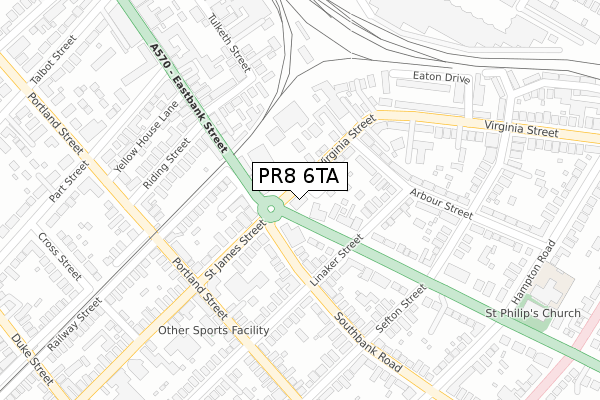
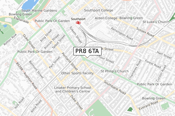
PR8 6TA is located in the Kew electoral ward, within the metropolitan district of Sefton and the English Parliamentary constituency of Southport. The Sub Integrated Care Board (ICB) Location is NHS Cheshire and Merseyside ICB - 01V and the police force is Merseyside. This postcode has been in use since October 2019.


GetTheData
Source: OS Open Zoomstack (Ordnance Survey)
Licence: Open Government Licence (requires attribution)
Attribution: Contains OS data © Crown copyright and database right 2025
Source: Open Postcode Geo
Licence: Open Government Licence (requires attribution)
Attribution: Contains OS data © Crown copyright and database right 2025; Contains Royal Mail data © Royal Mail copyright and database right 2025; Source: Office for National Statistics licensed under the Open Government Licence v.3.0
| Easting | 333989 |
| Northing | 416633 |
| Latitude | 53.642042 |
| Longitude | -2.999951 |
GetTheData
Source: Open Postcode Geo
Licence: Open Government Licence
| Country | England |
| Postcode District | PR8 |
➜ See where PR8 is on a map ➜ Where is Southport? | |
GetTheData
Source: Land Registry Price Paid Data
Licence: Open Government Licence
| Ward | Kew |
| Constituency | Southport |
GetTheData
Source: ONS Postcode Database
Licence: Open Government Licence
| Scarisbrick New Road (Virginia Street) | Southport | 13m |
| Southbank Road (Scarisbrick New Road) | Southport | 43m |
| Linaker Street (Scarisbrick New Road) | Southport | 63m |
| Arbour Street (Virginia Street) | Southport | 89m |
| Eastbank Street (St James Street) | Southport | 105m |
| Southport Station | 0.5km |
| Birkdale Station | 1.3km |
| Meols Cop Station | 1.7km |
GetTheData
Source: NaPTAN
Licence: Open Government Licence
GetTheData
Source: ONS Postcode Database
Licence: Open Government Licence


➜ Get more ratings from the Food Standards Agency
GetTheData
Source: Food Standards Agency
Licence: FSA terms & conditions
| Last Collection | |||
|---|---|---|---|
| Location | Mon-Fri | Sat | Distance |
| 42 Virginia Street | 16:00 | 11:00 | 138m |
| 70 Portland Street | 17:30 | 11:30 | 232m |
| 55 Sefton Street | 16:15 | 11:30 | 275m |
GetTheData
Source: Dracos
Licence: Creative Commons Attribution-ShareAlike
The below table lists the International Territorial Level (ITL) codes (formerly Nomenclature of Territorial Units for Statistics (NUTS) codes) and Local Administrative Units (LAU) codes for PR8 6TA:
| ITL 1 Code | Name |
|---|---|
| TLD | North West (England) |
| ITL 2 Code | Name |
| TLD7 | Merseyside |
| ITL 3 Code | Name |
| TLD73 | Sefton |
| LAU 1 Code | Name |
| E08000014 | Sefton |
GetTheData
Source: ONS Postcode Directory
Licence: Open Government Licence
The below table lists the Census Output Area (OA), Lower Layer Super Output Area (LSOA), and Middle Layer Super Output Area (MSOA) for PR8 6TA:
| Code | Name | |
|---|---|---|
| OA | E00035470 | |
| LSOA | E01006994 | Sefton 007C |
| MSOA | E02001435 | Sefton 007 |
GetTheData
Source: ONS Postcode Directory
Licence: Open Government Licence
| PR8 6RZ | Virginia Street | 70m |
| PR8 6TH | Eastbank Street | 96m |
| PR8 6QJ | Southbank Road | 114m |
| PR8 6RR | Linaker Street | 129m |
| PR8 6PU | Scarisbrick New Road | 139m |
| PR8 5AE | St James Street | 153m |
| PR8 5BE | Railway Street | 156m |
| PR8 6PY | Scarisbrick New Road | 166m |
| PR8 1EE | Eastbank Street | 178m |
| PR8 6SB | Arbour Street | 186m |
GetTheData
Source: Open Postcode Geo; Land Registry Price Paid Data
Licence: Open Government Licence