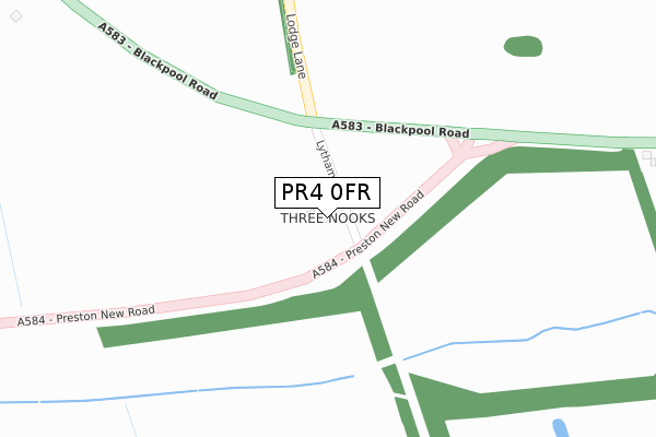
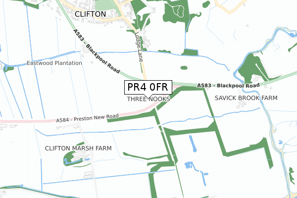
PR4 0FR is located in the Rural East Fylde electoral ward, within the local authority district of Fylde and the English Parliamentary constituency of Fylde. The Sub Integrated Care Board (ICB) Location is NHS Lancashire and South Cumbria ICB - 02M and the police force is Lancashire. This postcode has been in use since April 2018.


GetTheData
Source: OS Open Zoomstack (Ordnance Survey)
Licence: Open Government Licence (requires attribution)
Attribution: Contains OS data © Crown copyright and database right 2025
Source: Open Postcode Geo
Licence: Open Government Licence (requires attribution)
Attribution: Contains OS data © Crown copyright and database right 2025; Contains Royal Mail data © Royal Mail copyright and database right 2025; Source: Office for National Statistics licensed under the Open Government Licence v.3.0
| Easting | 346935 |
| Northing | 429619 |
| Latitude | 53.760226 |
| Longitude | -2.806383 |
GetTheData
Source: Open Postcode Geo
Licence: Open Government Licence
| Country | England |
| Postcode District | PR4 |
➜ See where PR4 is on a map | |
GetTheData
Source: Land Registry Price Paid Data
Licence: Open Government Licence
| Ward | Rural East Fylde |
| Constituency | Fylde |
GetTheData
Source: ONS Postcode Database
Licence: Open Government Licence
| Three Nooks (Preston New Road) | Clifton | 76m |
| Three Nooks (Preston New Road) | Clifton | 87m |
| Lodge Lane North (Lodge Lane) | Clifton | 431m |
| Lodge Lane South (Lodge Lane) | Clifton | 460m |
| Dixons Farm Mews (Preston Old Road) | Clifton | 735m |
| Salwick Station | 2.5km |
GetTheData
Source: NaPTAN
Licence: Open Government Licence
| Percentage of properties with Next Generation Access | 100.0% |
| Percentage of properties with Superfast Broadband | 0.0% |
| Percentage of properties with Ultrafast Broadband | 0.0% |
| Percentage of properties with Full Fibre Broadband | 0.0% |
Superfast Broadband is between 30Mbps and 300Mbps
Ultrafast Broadband is > 300Mbps
| Percentage of properties unable to receive 2Mbps | 0.0% |
| Percentage of properties unable to receive 5Mbps | 0.0% |
| Percentage of properties unable to receive 10Mbps | 0.0% |
| Percentage of properties unable to receive 30Mbps | 100.0% |
GetTheData
Source: Ofcom
Licence: Ofcom Terms of Use (requires attribution)
GetTheData
Source: ONS Postcode Database
Licence: Open Government Licence


➜ Get more ratings from the Food Standards Agency
GetTheData
Source: Food Standards Agency
Licence: FSA terms & conditions
| Last Collection | |||
|---|---|---|---|
| Location | Mon-Fri | Sat | Distance |
| 51 Kirkham Road, Freckleton | 16:00 | 09:45 | 300m |
| Lea School | 16:00 | 08:00 | 3,100m |
| Whitehouse | 16:00 | 08:30 | 3,581m |
GetTheData
Source: Dracos
Licence: Creative Commons Attribution-ShareAlike
The below table lists the International Territorial Level (ITL) codes (formerly Nomenclature of Territorial Units for Statistics (NUTS) codes) and Local Administrative Units (LAU) codes for PR4 0FR:
| ITL 1 Code | Name |
|---|---|
| TLD | North West (England) |
| ITL 2 Code | Name |
| TLD4 | Lancashire |
| ITL 3 Code | Name |
| TLD45 | Mid Lancashire |
| LAU 1 Code | Name |
| E07000119 | Fylde |
GetTheData
Source: ONS Postcode Directory
Licence: Open Government Licence
The below table lists the Census Output Area (OA), Lower Layer Super Output Area (LSOA), and Middle Layer Super Output Area (MSOA) for PR4 0FR:
| Code | Name | |
|---|---|---|
| OA | E00126961 | |
| LSOA | E01025014 | Fylde 003C |
| MSOA | E02005205 | Fylde 003 |
GetTheData
Source: ONS Postcode Directory
Licence: Open Government Licence
| PR4 0YA | Lodge Lane | 637m |
| PR4 0ZA | Preston Old Road | 733m |
| PR4 0PA | Dixons Farm Mews | 767m |
| PR4 0ZG | Squirrels Chase | 784m |
| PR4 0XE | Lytham Road | 801m |
| PR4 0XD | Blackpool Road | 824m |
| PR4 0YP | Linden Close | 854m |
| PR4 0YF | Mulberry Close | 856m |
| PR4 0YN | Ash Lane | 858m |
| PR4 0YQ | Rowan Close | 874m |
GetTheData
Source: Open Postcode Geo; Land Registry Price Paid Data
Licence: Open Government Licence