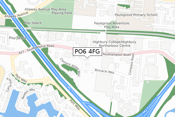
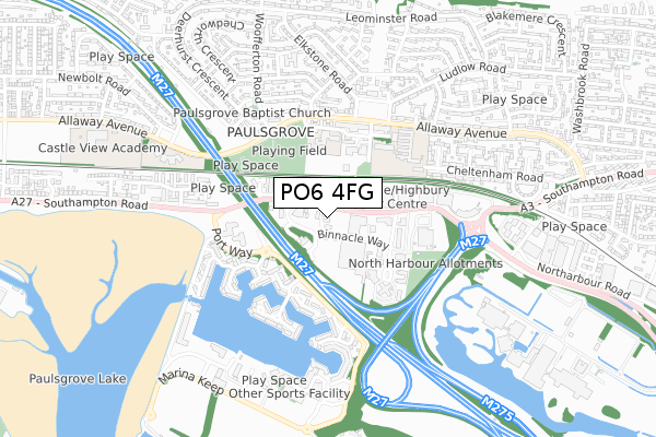
PO6 4FG is located in the Cosham electoral ward, within the unitary authority of Portsmouth and the English Parliamentary constituency of Portsmouth North. The Sub Integrated Care Board (ICB) Location is NHS Hampshire and Isle of Wight ICB - 10R and the police force is Hampshire. This postcode has been in use since January 2018.


GetTheData
Source: OS Open Zoomstack (Ordnance Survey)
Licence: Open Government Licence (requires attribution)
Attribution: Contains OS data © Crown copyright and database right 2024
Source: Open Postcode Geo
Licence: Open Government Licence (requires attribution)
Attribution: Contains OS data © Crown copyright and database right 2024; Contains Royal Mail data © Royal Mail copyright and database right 2024; Source: Office for National Statistics licensed under the Open Government Licence v.3.0
| Easting | 463750 |
| Northing | 105607 |
| Latitude | 50.846471 |
| Longitude | -1.095845 |
GetTheData
Source: Open Postcode Geo
Licence: Open Government Licence
| Country | England |
| Postcode District | PO6 |
➜ See where PO6 is on a map ➜ Where is Portsmouth? | |
GetTheData
Source: Land Registry Price Paid Data
Licence: Open Government Licence
| Ward | Cosham |
| Constituency | Portsmouth North |
GetTheData
Source: ONS Postcode Database
Licence: Open Government Licence
| Racecourse Lane (Southampton Road) | Paulsgrove | 54m |
| Racecourse Lane (Southampton Road) | Paulsgrove | 70m |
| Tesco (Binnacle Way) | Paulsgrove | 86m |
| Nailsworth Road (Allaway Avenue) | Paulsgrove | 389m |
| Allaway Avenue Shops (Allaway Avenue) | Paulsgrove | 392m |
| Portchester Station | 2km |
| Cosham Station | 2.1km |
| Hilsea Station | 3.3km |
GetTheData
Source: NaPTAN
Licence: Open Government Licence
| Median download speed | 8.8Mbps |
| Average download speed | 8.4Mbps |
| Maximum download speed | 11.65Mbps |
| Median upload speed | 0.7Mbps |
| Average upload speed | 0.8Mbps |
| Maximum upload speed | 1.20Mbps |
GetTheData
Source: Ofcom
Licence: Ofcom Terms of Use (requires attribution)
GetTheData
Source: ONS Postcode Database
Licence: Open Government Licence


➜ Get more ratings from the Food Standards Agency
GetTheData
Source: Food Standards Agency
Licence: FSA terms & conditions
| Last Collection | |||
|---|---|---|---|
| Location | Mon-Fri | Sat | Distance |
| Port Solent Marina | 16:45 | 11:45 | 321m |
| Paulsgrove Post Office | 17:00 | 12:30 | 374m |
| Paulsgrove Post Office | 17:00 | 12:30 | 374m |
GetTheData
Source: Dracos
Licence: Creative Commons Attribution-ShareAlike
The below table lists the International Territorial Level (ITL) codes (formerly Nomenclature of Territorial Units for Statistics (NUTS) codes) and Local Administrative Units (LAU) codes for PO6 4FG:
| ITL 1 Code | Name |
|---|---|
| TLJ | South East (England) |
| ITL 2 Code | Name |
| TLJ3 | Hampshire and Isle of Wight |
| ITL 3 Code | Name |
| TLJ31 | Portsmouth |
| LAU 1 Code | Name |
| E06000044 | Portsmouth |
GetTheData
Source: ONS Postcode Directory
Licence: Open Government Licence
The below table lists the Census Output Area (OA), Lower Layer Super Output Area (LSOA), and Middle Layer Super Output Area (MSOA) for PO6 4FG:
| Code | Name | |
|---|---|---|
| OA | E00086118 | |
| LSOA | E01017053 | Portsmouth 002C |
| MSOA | E02003525 | Portsmouth 002 |
GetTheData
Source: ONS Postcode Directory
Licence: Open Government Licence
| PO6 4FB | Binnacle Way | 177m |
| PO6 4SA | Southampton Road | 216m |
| PO6 4SB | Southampton Road | 217m |
| PO6 4TB | Holywell Drive | 287m |
| PO6 4TD | Cadgwith Place | 315m |
| PO6 4TN | Newlyn Way | 337m |
| PO6 4SS | Tintagel Way | 338m |
| PO6 4TW | Carbis Close | 354m |
| PO6 4HG | Allaway Avenue | 362m |
| PO6 4PS | Compass Road | 400m |
GetTheData
Source: Open Postcode Geo; Land Registry Price Paid Data
Licence: Open Government Licence