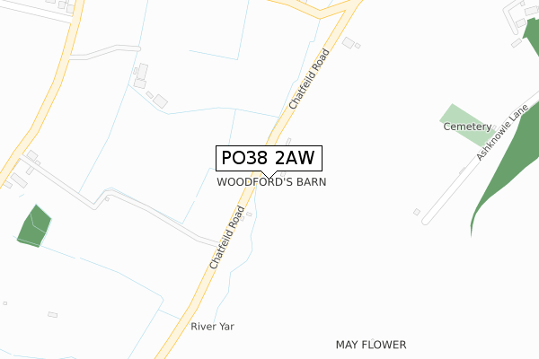
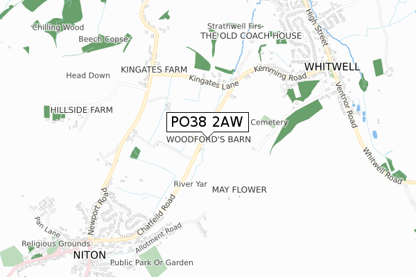
PO38 2AW is located in the Chale, Niton & Shorwell electoral ward, within the unitary authority of Isle of Wight and the English Parliamentary constituency of Isle of Wight. The Sub Integrated Care Board (ICB) Location is NHS Hampshire and Isle of Wight ICB - D9Y0V and the police force is Hampshire. This postcode has been in use since June 2018.


GetTheData
Source: OS Open Zoomstack (Ordnance Survey)
Licence: Open Government Licence (requires attribution)
Attribution: Contains OS data © Crown copyright and database right 2024
Source: Open Postcode Geo
Licence: Open Government Licence (requires attribution)
Attribution: Contains OS data © Crown copyright and database right 2024; Contains Royal Mail data © Royal Mail copyright and database right 2024; Source: Office for National Statistics licensed under the Open Government Licence v.3.0
| Easting | 451439 |
| Northing | 77380 |
| Latitude | 50.593878 |
| Longitude | -1.274627 |
GetTheData
Source: Open Postcode Geo
Licence: Open Government Licence
| Country | England |
| Postcode District | PO38 |
➜ See where PO38 is on a map | |
GetTheData
Source: Land Registry Price Paid Data
Licence: Open Government Licence
| Ward | Chale, Niton & Shorwell |
| Constituency | Isle Of Wight |
GetTheData
Source: ONS Postcode Database
Licence: Open Government Licence
| Kingates (Kemming Road) | Whitwell | 371m |
| Kingates (Kemming Road) | Whitwell | 393m |
| Kingates Barn (Newport Road) | Niton | 559m |
| Meadow View (Newport Road) | Niton | 614m |
| Chatfield Road | Niton | 628m |
GetTheData
Source: NaPTAN
Licence: Open Government Licence
GetTheData
Source: ONS Postcode Database
Licence: Open Government Licence


➜ Get more ratings from the Food Standards Agency
GetTheData
Source: Food Standards Agency
Licence: FSA terms & conditions
| Last Collection | |||
|---|---|---|---|
| Location | Mon-Fri | Sat | Distance |
| Kingates | 16:00 | 09:30 | 499m |
| Chatfield Road | 16:00 | 11:00 | 753m |
| Kemming Road | 16:15 | 11:00 | 759m |
GetTheData
Source: Dracos
Licence: Creative Commons Attribution-ShareAlike
The below table lists the International Territorial Level (ITL) codes (formerly Nomenclature of Territorial Units for Statistics (NUTS) codes) and Local Administrative Units (LAU) codes for PO38 2AW:
| ITL 1 Code | Name |
|---|---|
| TLJ | South East (England) |
| ITL 2 Code | Name |
| TLJ3 | Hampshire and Isle of Wight |
| ITL 3 Code | Name |
| TLJ34 | Isle of Wight |
| LAU 1 Code | Name |
| E06000046 | Isle of Wight |
GetTheData
Source: ONS Postcode Directory
Licence: Open Government Licence
The below table lists the Census Output Area (OA), Lower Layer Super Output Area (LSOA), and Middle Layer Super Output Area (MSOA) for PO38 2AW:
| Code | Name | |
|---|---|---|
| OA | E00087365 | |
| LSOA | E01017298 | Isle of Wight 017B |
| MSOA | E02003597 | Isle of Wight 017 |
GetTheData
Source: ONS Postcode Directory
Licence: Open Government Licence
| PO38 2PR | Ashknowle Lane | 359m |
| PO38 2QR | Kingates Lane | 363m |
| PO38 2NT | Newport Road | 486m |
| PO38 2NS | Newport Road | 491m |
| PO38 2NU | Crocker Lane | 520m |
| PO38 2QT | Kemming Road | 542m |
| PO38 2DX | Lower Fields | 558m |
| PO38 2QP | Newport Road | 588m |
| PO38 2DZ | Allotment Road | 602m |
| PO38 2DJ | Newport Road | 640m |
GetTheData
Source: Open Postcode Geo; Land Registry Price Paid Data
Licence: Open Government Licence