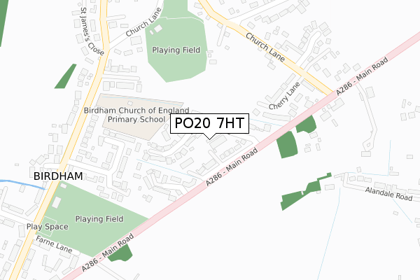
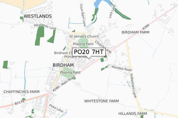
PO20 7HT is located in the The Witterings electoral ward, within the local authority district of Chichester and the English Parliamentary constituency of Chichester. The Sub Integrated Care Board (ICB) Location is NHS Sussex ICB - 70F and the police force is Sussex. This postcode has been in use since January 1980.


GetTheData
Source: OS Open Zoomstack (Ordnance Survey)
Licence: Open Government Licence (requires attribution)
Attribution: Contains OS data © Crown copyright and database right 2025
Source: Open Postcode Geo
Licence: Open Government Licence (requires attribution)
Attribution: Contains OS data © Crown copyright and database right 2025; Contains Royal Mail data © Royal Mail copyright and database right 2025; Source: Office for National Statistics licensed under the Open Government Licence v.3.0
| Easting | 482461 |
| Northing | 99971 |
| Latitude | 50.793449 |
| Longitude | -0.831405 |
GetTheData
Source: Open Postcode Geo
Licence: Open Government Licence
| Country | England |
| Postcode District | PO20 |
➜ See where PO20 is on a map ➜ Where is Birdham? | |
GetTheData
Source: Land Registry Price Paid Data
Licence: Open Government Licence
Elevation or altitude of PO20 7HT as distance above sea level:
| Metres | Feet | |
|---|---|---|
| Elevation | 10m | 33ft |
Elevation is measured from the approximate centre of the postcode, to the nearest point on an OS contour line from OS Terrain 50, which has contour spacing of ten vertical metres.
➜ How high above sea level am I? Find the elevation of your current position using your device's GPS.
GetTheData
Source: Open Postcode Elevation
Licence: Open Government Licence
| Ward | The Witterings |
| Constituency | Chichester |
GetTheData
Source: ONS Postcode Database
Licence: Open Government Licence
| Tea Parlour (Main Road A286) | Birdham | 233m |
| Russells Nursery (Main Road A286) | Birdham | 277m |
| Stores (Main Road A286) | Birdham | 563m |
| Sidlesham Lane (A286) | Birdham | 595m |
| Sidlesham Lane (A286) | Birdham | 604m |
| Chichester Station | 5.5km |
GetTheData
Source: NaPTAN
Licence: Open Government Licence
GetTheData
Source: ONS Postcode Database
Licence: Open Government Licence


➜ Get more ratings from the Food Standards Agency
GetTheData
Source: Food Standards Agency
Licence: FSA terms & conditions
| Last Collection | |||
|---|---|---|---|
| Location | Mon-Fri | Sat | Distance |
| Birdham Post Office | 16:45 | 11:15 | 508m |
| The Bell Inn | 16:30 | 08:00 | 1,288m |
| First Avenue | 16:00 | 08:00 | 1,397m |
GetTheData
Source: Dracos
Licence: Creative Commons Attribution-ShareAlike
The below table lists the International Territorial Level (ITL) codes (formerly Nomenclature of Territorial Units for Statistics (NUTS) codes) and Local Administrative Units (LAU) codes for PO20 7HT:
| ITL 1 Code | Name |
|---|---|
| TLJ | South East (England) |
| ITL 2 Code | Name |
| TLJ2 | Surrey, East and West Sussex |
| ITL 3 Code | Name |
| TLJ27 | West Sussex (South West) |
| LAU 1 Code | Name |
| E07000225 | Chichester |
GetTheData
Source: ONS Postcode Directory
Licence: Open Government Licence
The below table lists the Census Output Area (OA), Lower Layer Super Output Area (LSOA), and Middle Layer Super Output Area (MSOA) for PO20 7HT:
| Code | Name | |
|---|---|---|
| OA | E00160851 | |
| LSOA | E01031542 | Chichester 013G |
| MSOA | E02006573 | Chichester 013 |
GetTheData
Source: ONS Postcode Directory
Licence: Open Government Licence
| PO20 7SR | Walwyn Close | 28m |
| PO20 7HS | Main Road | 80m |
| PO20 7SE | Old Common Close | 125m |
| PO20 7AR | Cherry Lane | 187m |
| PO20 7HD | Pescotts Close | 240m |
| PO20 7HP | Longmeadow Gardens | 246m |
| PO20 7AT | Church Lane | 251m |
| PO20 7HB | Crooked Lane | 279m |
| PO20 7SP | Church Lane | 294m |
| PO20 7AP | Church Lane | 320m |
GetTheData
Source: Open Postcode Geo; Land Registry Price Paid Data
Licence: Open Government Licence