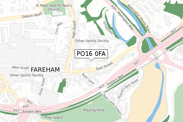
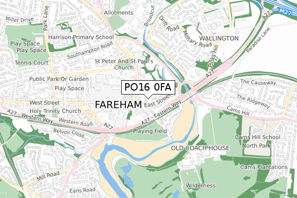
PO16 0FA is located in the Fareham East electoral ward, within the local authority district of Fareham and the English Parliamentary constituency of Fareham. The Sub Integrated Care Board (ICB) Location is NHS Hampshire and Isle of Wight ICB - D9Y0V and the police force is Hampshire. This postcode has been in use since April 2020.


GetTheData
Source: OS Open Zoomstack (Ordnance Survey)
Licence: Open Government Licence (requires attribution)
Attribution: Contains OS data © Crown copyright and database right 2024
Source: Open Postcode Geo
Licence: Open Government Licence (requires attribution)
Attribution: Contains OS data © Crown copyright and database right 2024; Contains Royal Mail data © Royal Mail copyright and database right 2024; Source: Office for National Statistics licensed under the Open Government Licence v.3.0
| Easting | 458346 |
| Northing | 106239 |
| Latitude | 50.852724 |
| Longitude | -1.172496 |
GetTheData
Source: Open Postcode Geo
Licence: Open Government Licence
| Country | England |
| Postcode District | PO16 |
➜ See where PO16 is on a map ➜ Where is Fareham? | |
GetTheData
Source: Land Registry Price Paid Data
Licence: Open Government Licence
| Ward | Fareham East |
| Constituency | Fareham |
GetTheData
Source: ONS Postcode Database
Licence: Open Government Licence
| East Street | Fareham | 47m |
| Bath Lane (East Street) | Wallington | 55m |
| High Street | Fareham | 116m |
| High Street | Fareham | 149m |
| Quay Street (West Street) | Fareham | 208m |
| Fareham Station | 1.4km |
| Portchester Station | 3.4km |
GetTheData
Source: NaPTAN
Licence: Open Government Licence
GetTheData
Source: ONS Postcode Database
Licence: Open Government Licence


➜ Get more ratings from the Food Standards Agency
GetTheData
Source: Food Standards Agency
Licence: FSA terms & conditions
| Last Collection | |||
|---|---|---|---|
| Location | Mon-Fri | Sat | Distance |
| The Elms | 17:00 | 12:15 | 135m |
| West Street (Franked) | 17:30 | 12:15 | 195m |
| West Street (Stamped) | 17:30 | 12:15 | 195m |
GetTheData
Source: Dracos
Licence: Creative Commons Attribution-ShareAlike
The below table lists the International Territorial Level (ITL) codes (formerly Nomenclature of Territorial Units for Statistics (NUTS) codes) and Local Administrative Units (LAU) codes for PO16 0FA:
| ITL 1 Code | Name |
|---|---|
| TLJ | South East (England) |
| ITL 2 Code | Name |
| TLJ3 | Hampshire and Isle of Wight |
| ITL 3 Code | Name |
| TLJ35 | South Hampshire |
| LAU 1 Code | Name |
| E07000087 | Fareham |
GetTheData
Source: ONS Postcode Directory
Licence: Open Government Licence
The below table lists the Census Output Area (OA), Lower Layer Super Output Area (LSOA), and Middle Layer Super Output Area (MSOA) for PO16 0FA:
| Code | Name | |
|---|---|---|
| OA | E00115498 | |
| LSOA | E01022721 | Fareham 008A |
| MSOA | E02004734 | Fareham 008 |
GetTheData
Source: ONS Postcode Directory
Licence: Open Government Licence
| PO16 0BW | East Street | 71m |
| PO16 0DA | Bath Lane | 71m |
| PO16 0DB | Bridgefoot Drive | 79m |
| PO16 7XX | Union Street | 92m |
| PO16 7BB | High Street | 97m |
| PO16 0BF | East Street | 103m |
| PO16 0QU | Madison Court | 120m |
| PO16 0DJ | Bath Lane | 122m |
| PO16 0BY | East Street | 123m |
| PO16 7AA | High Street | 137m |
GetTheData
Source: Open Postcode Geo; Land Registry Price Paid Data
Licence: Open Government Licence