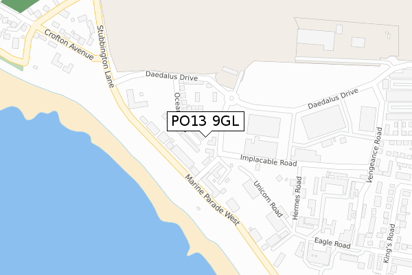
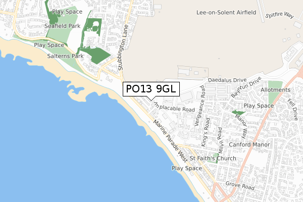
PO13 9GL is located in the Lee West electoral ward, within the local authority district of Gosport and the English Parliamentary constituency of Gosport. The Sub Integrated Care Board (ICB) Location is NHS Hampshire and Isle of Wight ICB - D9Y0V and the police force is Hampshire. This postcode has been in use since June 2019.


GetTheData
Source: OS Open Zoomstack (Ordnance Survey)
Licence: Open Government Licence (requires attribution)
Attribution: Contains OS data © Crown copyright and database right 2025
Source: Open Postcode Geo
Licence: Open Government Licence (requires attribution)
Attribution: Contains OS data © Crown copyright and database right 2025; Contains Royal Mail data © Royal Mail copyright and database right 2025; Source: Office for National Statistics licensed under the Open Government Licence v.3.0
| Easting | 455669 |
| Northing | 101445 |
| Latitude | 50.809880 |
| Longitude | -1.211249 |
GetTheData
Source: Open Postcode Geo
Licence: Open Government Licence
| Country | England |
| Postcode District | PO13 |
➜ See where PO13 is on a map ➜ Where is Lee-on-the-Solent? | |
GetTheData
Source: Land Registry Price Paid Data
Licence: Open Government Licence
| Ward | Lee West |
| Constituency | Gosport |
GetTheData
Source: ONS Postcode Database
Licence: Open Government Licence
| Drake Road (Stubbington Lane) | Lee-on-the-solent | 149m |
| Drake Road (Stubbington Lane) | Lee-on-the-solent | 151m |
| Seamead (Stubbington Lane) | Hill Head | 428m |
| Richmond Road (B3333 Marine Parade West) | Lee-on-the-solent | 429m |
| Richmond Road (B3333 Marine Parade West) | Lee-on-the-solent | 440m |
| Fareham Station | 5km |
GetTheData
Source: NaPTAN
Licence: Open Government Licence
GetTheData
Source: ONS Postcode Database
Licence: Open Government Licence


➜ Get more ratings from the Food Standards Agency
GetTheData
Source: Food Standards Agency
Licence: FSA terms & conditions
| Last Collection | |||
|---|---|---|---|
| Location | Mon-Fri | Sat | Distance |
| Drake Road | 16:45 | 11:45 | 179m |
| Crofton Avenue | 16:15 | 11:15 | 451m |
| Victoria Square | 16:45 | 11:15 | 751m |
GetTheData
Source: Dracos
Licence: Creative Commons Attribution-ShareAlike
The below table lists the International Territorial Level (ITL) codes (formerly Nomenclature of Territorial Units for Statistics (NUTS) codes) and Local Administrative Units (LAU) codes for PO13 9GL:
| ITL 1 Code | Name |
|---|---|
| TLJ | South East (England) |
| ITL 2 Code | Name |
| TLJ3 | Hampshire and Isle of Wight |
| ITL 3 Code | Name |
| TLJ35 | South Hampshire |
| LAU 1 Code | Name |
| E07000088 | Gosport |
GetTheData
Source: ONS Postcode Directory
Licence: Open Government Licence
The below table lists the Census Output Area (OA), Lower Layer Super Output Area (LSOA), and Middle Layer Super Output Area (MSOA) for PO13 9GL:
| Code | Name | |
|---|---|---|
| OA | E00116014 | |
| LSOA | E01022829 | Gosport 006D |
| MSOA | E02004746 | Gosport 006 |
GetTheData
Source: ONS Postcode Directory
Licence: Open Government Licence
| PO13 9NH | Marine Parade West | 105m |
| PO13 9XS | Marine Parade West | 116m |
| PO13 9XU | Marine Parade West | 123m |
| PO13 9ED | Marine Parade West | 127m |
| PO13 9NS | Drake Road | 128m |
| PO13 9NR | Marine Parade West | 140m |
| PO13 9QU | Marine Parade West | 151m |
| PO13 9YP | Marine Parade West | 164m |
| PO13 9NP | Stubbington Lane | 334m |
| PO13 9NJ | Crofton Avenue | 437m |
GetTheData
Source: Open Postcode Geo; Land Registry Price Paid Data
Licence: Open Government Licence