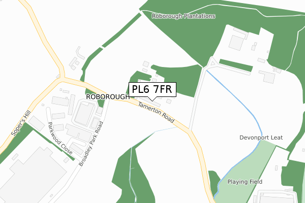
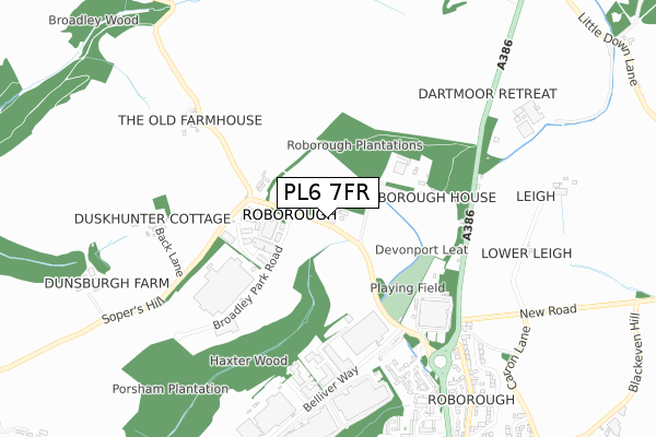
PL6 7FR is located in the Bickleigh & Cornwood electoral ward, within the local authority district of South Hams and the English Parliamentary constituency of South West Devon. The Sub Integrated Care Board (ICB) Location is NHS Devon ICB - 15N and the police force is Devon & Cornwall. This postcode has been in use since March 2019.


GetTheData
Source: OS Open Zoomstack (Ordnance Survey)
Licence: Open Government Licence (requires attribution)
Attribution: Contains OS data © Crown copyright and database right 2025
Source: Open Postcode Geo
Licence: Open Government Licence (requires attribution)
Attribution: Contains OS data © Crown copyright and database right 2025; Contains Royal Mail data © Royal Mail copyright and database right 2025; Source: Office for National Statistics licensed under the Open Government Licence v.3.0
| Easting | 249867 |
| Northing | 62896 |
| Latitude | 50.446636 |
| Longitude | -4.115933 |
GetTheData
Source: Open Postcode Geo
Licence: Open Government Licence
| Country | England |
| Postcode District | PL6 |
➜ See where PL6 is on a map ➜ Where is Roborough? | |
GetTheData
Source: Land Registry Price Paid Data
Licence: Open Government Licence
| Ward | Bickleigh & Cornwood |
| Constituency | South West Devon |
GetTheData
Source: ONS Postcode Database
Licence: Open Government Licence
| Parkwood Close (Broadley Park Road) | Roborough | 290m |
| Broadley Industrial Park (Broadley Park Road) | Roborough | 310m |
| Roborough Lodge (A386) | Roborough | 515m |
| Roborough Lodge (A386) | Roborough | 532m |
| Haxter Close | Widewell | 565m |
| Bere Ferrers Station | 4.7km |
GetTheData
Source: NaPTAN
Licence: Open Government Licence
GetTheData
Source: ONS Postcode Database
Licence: Open Government Licence


➜ Get more ratings from the Food Standards Agency
GetTheData
Source: Food Standards Agency
Licence: FSA terms & conditions
| Last Collection | |||
|---|---|---|---|
| Location | Mon-Fri | Sat | Distance |
| Beverston Way | 17:30 | 12:30 | 1,191m |
| Tesco (Roborough) | 17:30 | 12:30 | 1,387m |
| Derriford | 18:45 | 12:45 | 1,841m |
GetTheData
Source: Dracos
Licence: Creative Commons Attribution-ShareAlike
The below table lists the International Territorial Level (ITL) codes (formerly Nomenclature of Territorial Units for Statistics (NUTS) codes) and Local Administrative Units (LAU) codes for PL6 7FR:
| ITL 1 Code | Name |
|---|---|
| TLK | South West (England) |
| ITL 2 Code | Name |
| TLK4 | Devon |
| ITL 3 Code | Name |
| TLK43 | Devon CC |
| LAU 1 Code | Name |
| E07000044 | South Hams |
GetTheData
Source: ONS Postcode Directory
Licence: Open Government Licence
The below table lists the Census Output Area (OA), Lower Layer Super Output Area (LSOA), and Middle Layer Super Output Area (MSOA) for PL6 7FR:
| Code | Name | |
|---|---|---|
| OA | E00102012 | |
| LSOA | E01020145 | South Hams 001B |
| MSOA | E02004189 | South Hams 001 |
GetTheData
Source: ONS Postcode Directory
Licence: Open Government Licence
| PL6 7EZ | Broadley Park Road | 274m |
| PL6 7SQ | Broadley Court | 274m |
| PL6 7SG | Parkwood Close | 325m |
| PL6 7BQ | Tamerton Road | 374m |
| PL6 7ET | Lady Fern Road | 628m |
| PL6 7BX | 659m | |
| PL6 7BU | 675m | |
| PL6 7BD | Tavistock Road | 680m |
| PL6 7EU | Claytonia Close | 710m |
| PL6 7EX | Bellflower Close | 724m |
GetTheData
Source: Open Postcode Geo; Land Registry Price Paid Data
Licence: Open Government Licence