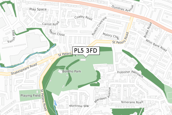
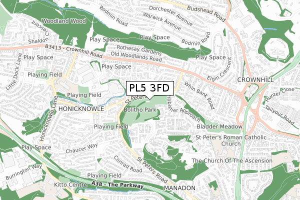
PL5 3FD is located in the Eggbuckland electoral ward, within the unitary authority of Plymouth and the English Parliamentary constituency of Plymouth, Moor View. The Sub Integrated Care Board (ICB) Location is NHS Devon ICB - 15N and the police force is Devon & Cornwall. This postcode has been in use since October 2017.


GetTheData
Source: OS Open Zoomstack (Ordnance Survey)
Licence: Open Government Licence (requires attribution)
Attribution: Contains OS data © Crown copyright and database right 2025
Source: Open Postcode Geo
Licence: Open Government Licence (requires attribution)
Attribution: Contains OS data © Crown copyright and database right 2025; Contains Royal Mail data © Royal Mail copyright and database right 2025; Source: Office for National Statistics licensed under the Open Government Licence v.3.0
| Easting | 247660 |
| Northing | 58786 |
| Latitude | 50.409130 |
| Longitude | -4.145325 |
GetTheData
Source: Open Postcode Geo
Licence: Open Government Licence
| Country | England |
| Postcode District | PL5 |
➜ See where PL5 is on a map ➜ Where is Plymouth? | |
GetTheData
Source: Land Registry Price Paid Data
Licence: Open Government Licence
| Ward | Eggbuckland |
| Constituency | Plymouth, Moor View |
GetTheData
Source: ONS Postcode Database
Licence: Open Government Licence
| Ruskin Stores (St Peters Road) | Crownhill | 62m |
| Ruskin Stores (St Peters Road) | Crownhill | 90m |
| St. Peters Road Bungalows (St Peters Road) | Manadon | 233m |
| Denham Close (Shakespeare Road) | Manadon | 239m |
| Denham Close (Shakespeare Road) | Manadon | 250m |
| St Budeaux Ferry Road Station | 3.1km |
| St Budeaux Victoria Road Station | 3.1km |
| Keyham Station | 3.2km |
GetTheData
Source: NaPTAN
Licence: Open Government Licence
GetTheData
Source: ONS Postcode Database
Licence: Open Government Licence


➜ Get more ratings from the Food Standards Agency
GetTheData
Source: Food Standards Agency
Licence: FSA terms & conditions
| Last Collection | |||
|---|---|---|---|
| Location | Mon-Fri | Sat | Distance |
| Crownhill Post Office | 18:15 | 12:00 | 908m |
| Treveneague Gardens | 17:15 | 12:45 | 1,059m |
| Hartley Vale | 18:00 | 12:00 | 1,374m |
GetTheData
Source: Dracos
Licence: Creative Commons Attribution-ShareAlike
The below table lists the International Territorial Level (ITL) codes (formerly Nomenclature of Territorial Units for Statistics (NUTS) codes) and Local Administrative Units (LAU) codes for PL5 3FD:
| ITL 1 Code | Name |
|---|---|
| TLK | South West (England) |
| ITL 2 Code | Name |
| TLK4 | Devon |
| ITL 3 Code | Name |
| TLK41 | Plymouth |
| LAU 1 Code | Name |
| E06000026 | Plymouth |
GetTheData
Source: ONS Postcode Directory
Licence: Open Government Licence
The below table lists the Census Output Area (OA), Lower Layer Super Output Area (LSOA), and Middle Layer Super Output Area (MSOA) for PL5 3FD:
| Code | Name | |
|---|---|---|
| OA | E00172044 | |
| LSOA | E01015070 | Plymouth 007B |
| MSOA | E02003128 | Plymouth 007 |
GetTheData
Source: ONS Postcode Directory
Licence: Open Government Licence
| PL5 3JG | St Peters Road | 77m |
| PL5 3EB | Ruskin Crescent | 112m |
| PL5 3US | Tovey Crescent | 141m |
| PL5 3JQ | St Peters Road | 146m |
| PL5 3EA | Ruskin Crescent | 169m |
| PL5 3JF | Shakespeare Road | 193m |
| PL5 3DF | St Peters Road | 195m |
| PL5 3TR | Constable Close | 196m |
| PL5 3UZ | Frobisher Approach | 201m |
| PL5 3TP | Wilmot Gardens | 213m |
GetTheData
Source: Open Postcode Geo; Land Registry Price Paid Data
Licence: Open Government Licence