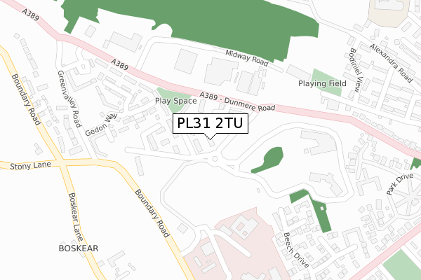
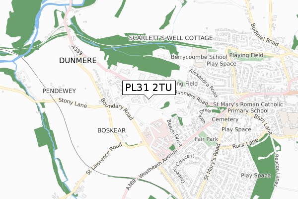
PL31 2TU is located in the Lanivet, Blisland & Bodmin St Lawrence electoral ward, within the unitary authority of Cornwall and the English Parliamentary constituency of North Cornwall. The Sub Integrated Care Board (ICB) Location is NHS Cornwall and the Isles of Scilly ICB - 11N and the police force is Devon & Cornwall. This postcode has been in use since March 2019.


GetTheData
Source: OS Open Zoomstack (Ordnance Survey)
Licence: Open Government Licence (requires attribution)
Attribution: Contains OS data © Crown copyright and database right 2024
Source: Open Postcode Geo
Licence: Open Government Licence (requires attribution)
Attribution: Contains OS data © Crown copyright and database right 2024; Contains Royal Mail data © Royal Mail copyright and database right 2024; Source: Office for National Statistics licensed under the Open Government Licence v.3.0
| Easting | 205442 |
| Northing | 67014 |
| Latitude | 50.470577 |
| Longitude | -4.743115 |
GetTheData
Source: Open Postcode Geo
Licence: Open Government Licence
| Country | England |
| Postcode District | PL31 |
➜ See where PL31 is on a map ➜ Where is Bodmin? | |
GetTheData
Source: Land Registry Price Paid Data
Licence: Open Government Licence
| Ward | Lanivet, Blisland & Bodmin St Lawrence |
| Constituency | North Cornwall |
GetTheData
Source: ONS Postcode Database
Licence: Open Government Licence
| Chy Trevail (Dunmere Road) | Bodmin | 182m |
| Chy Trevail | Bodmin | 183m |
| Hospital (Boundary Road) | Bodmin | 270m |
| Hospital (Boundary Road) | Bodmin | 278m |
| Bodiniel View | Berryfields | 444m |
GetTheData
Source: NaPTAN
Licence: Open Government Licence
| Percentage of properties with Next Generation Access | 100.0% |
| Percentage of properties with Superfast Broadband | 100.0% |
| Percentage of properties with Ultrafast Broadband | 100.0% |
| Percentage of properties with Full Fibre Broadband | 100.0% |
Superfast Broadband is between 30Mbps and 300Mbps
Ultrafast Broadband is > 300Mbps
| Percentage of properties unable to receive 2Mbps | 0.0% |
| Percentage of properties unable to receive 5Mbps | 0.0% |
| Percentage of properties unable to receive 10Mbps | 0.0% |
| Percentage of properties unable to receive 30Mbps | 0.0% |
GetTheData
Source: Ofcom
Licence: Ofcom Terms of Use (requires attribution)
GetTheData
Source: ONS Postcode Database
Licence: Open Government Licence


➜ Get more ratings from the Food Standards Agency
GetTheData
Source: Food Standards Agency
Licence: FSA terms & conditions
| Last Collection | |||
|---|---|---|---|
| Location | Mon-Fri | Sat | Distance |
| Bodmin Mspo | 17:20 | 11:20 | 1,581m |
| Midland Bank | 17:20 | 11:20 | 1,700m |
| Bodmin Delivery Office | 17:45 | 12:30 | 1,729m |
GetTheData
Source: Dracos
Licence: Creative Commons Attribution-ShareAlike
The below table lists the International Territorial Level (ITL) codes (formerly Nomenclature of Territorial Units for Statistics (NUTS) codes) and Local Administrative Units (LAU) codes for PL31 2TU:
| ITL 1 Code | Name |
|---|---|
| TLK | South West (England) |
| ITL 2 Code | Name |
| TLK3 | Cornwall and Isles of Scilly |
| ITL 3 Code | Name |
| TLK30 | Cornwall and Isles of Scilly |
| LAU 1 Code | Name |
| E06000052 | Cornwall |
GetTheData
Source: ONS Postcode Directory
Licence: Open Government Licence
The below table lists the Census Output Area (OA), Lower Layer Super Output Area (LSOA), and Middle Layer Super Output Area (MSOA) for PL31 2TU:
| Code | Name | |
|---|---|---|
| OA | E00095587 | |
| LSOA | E01018929 | Cornwall 015C |
| MSOA | E02003942 | Cornwall 015 |
GetTheData
Source: ONS Postcode Directory
Licence: Open Government Licence
| PL31 2QN | Dunmere Road | 207m |
| PL31 1QY | Maple Close | 277m |
| PL31 2SB | Laroche Walk | 318m |
| PL31 1QA | Beech Drive | 356m |
| PL31 2SD | Boyer Square | 364m |
| PL31 1QE | Rowan Close | 366m |
| PL31 2QU | St Lawrence Road | 370m |
| PL31 2PQ | Bodiniel View | 371m |
| PL31 2QJ | Park Drive | 384m |
| PL31 2RP | Donovan Way | 397m |
GetTheData
Source: Open Postcode Geo; Land Registry Price Paid Data
Licence: Open Government Licence