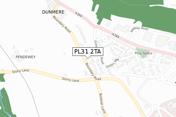
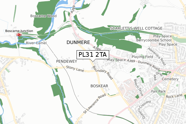
PL31 2TA is located in the Lanivet, Blisland & Bodmin St Lawrence electoral ward, within the unitary authority of Cornwall and the English Parliamentary constituency of North Cornwall. The Sub Integrated Care Board (ICB) Location is NHS Cornwall and the Isles of Scilly ICB - 11N and the police force is Devon & Cornwall. This postcode has been in use since April 2020.


GetTheData
Source: OS Open Zoomstack (Ordnance Survey)
Licence: Open Government Licence (requires attribution)
Attribution: Contains OS data © Crown copyright and database right 2025
Source: Open Postcode Geo
Licence: Open Government Licence (requires attribution)
Attribution: Contains OS data © Crown copyright and database right 2025; Contains Royal Mail data © Royal Mail copyright and database right 2025; Source: Office for National Statistics licensed under the Open Government Licence v.3.0
| Easting | 205012 |
| Northing | 67144 |
| Latitude | 50.471602 |
| Longitude | -4.749235 |
GetTheData
Source: Open Postcode Geo
Licence: Open Government Licence
| Country | England |
| Postcode District | PL31 |
➜ See where PL31 is on a map ➜ Where is Bodmin? | |
GetTheData
Source: Land Registry Price Paid Data
Licence: Open Government Licence
| Ward | Lanivet, Blisland & Bodmin St Lawrence |
| Constituency | North Cornwall |
GetTheData
Source: ONS Postcode Database
Licence: Open Government Licence
2024 27 JUN £374,000 |
2022 14 OCT £425,000 |
2, CLOTTED CLOSE, BODMIN, PL31 2TA 2020 28 AUG £329,950 |
2020 8 JUN £329,950 |
2020 30 APR £311,950 |
GetTheData
Source: HM Land Registry Price Paid Data
Licence: Contains HM Land Registry data © Crown copyright and database right 2025. This data is licensed under the Open Government Licence v3.0.
| Valley View Park (A389) | Dunmere | 259m |
| Valley View Park | Dunmere | 262m |
| The Borough Arms | Dunmere | 465m |
| The Borough Arms | Dunmere | 467m |
| Hospital (Boundary Road) | Bodmin | 522m |
GetTheData
Source: NaPTAN
Licence: Open Government Licence
GetTheData
Source: ONS Postcode Database
Licence: Open Government Licence


➜ Get more ratings from the Food Standards Agency
GetTheData
Source: Food Standards Agency
Licence: FSA terms & conditions
| Last Collection | |||
|---|---|---|---|
| Location | Mon-Fri | Sat | Distance |
| Bodmin Mspo | 17:20 | 11:20 | 2,015m |
| Midland Bank | 17:20 | 11:20 | 2,136m |
| Bodmin Delivery Office | 17:45 | 12:30 | 2,169m |
GetTheData
Source: Dracos
Licence: Creative Commons Attribution-ShareAlike
The below table lists the International Territorial Level (ITL) codes (formerly Nomenclature of Territorial Units for Statistics (NUTS) codes) and Local Administrative Units (LAU) codes for PL31 2TA:
| ITL 1 Code | Name |
|---|---|
| TLK | South West (England) |
| ITL 2 Code | Name |
| TLK3 | Cornwall and Isles of Scilly |
| ITL 3 Code | Name |
| TLK30 | Cornwall and Isles of Scilly |
| LAU 1 Code | Name |
| E06000052 | Cornwall |
GetTheData
Source: ONS Postcode Directory
Licence: Open Government Licence
The below table lists the Census Output Area (OA), Lower Layer Super Output Area (LSOA), and Middle Layer Super Output Area (MSOA) for PL31 2TA:
| Code | Name | |
|---|---|---|
| OA | E00095587 | |
| LSOA | E01018929 | Cornwall 015C |
| MSOA | E02003942 | Cornwall 015 |
GetTheData
Source: ONS Postcode Directory
Licence: Open Government Licence
| PL31 2SD | Boyer Square | 115m |
| PL31 2SB | Laroche Walk | 142m |
| PL31 2QX | Stoney Lane | 188m |
| PL31 2QN | Dunmere Road | 595m |
| PL31 2QU | St Lawrence Road | 606m |
| PL31 2RD | 631m | |
| PL31 1QY | Maple Close | 708m |
| PL31 1QA | Beech Drive | 760m |
| PL31 2PQ | Bodiniel View | 771m |
| PL31 1QE | Rowan Close | 800m |
GetTheData
Source: Open Postcode Geo; Land Registry Price Paid Data
Licence: Open Government Licence