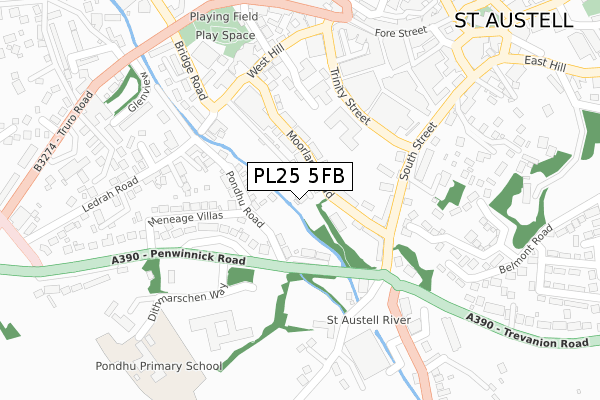
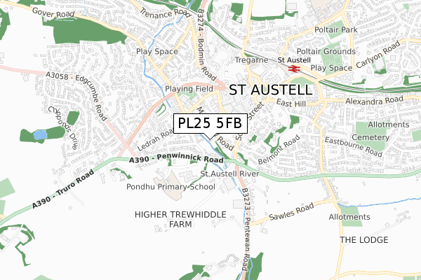
PL25 5FB is located in the St Austell Central & Gover electoral ward, within the unitary authority of Cornwall and the English Parliamentary constituency of St Austell and Newquay. The Sub Integrated Care Board (ICB) Location is NHS Cornwall and the Isles of Scilly ICB - 11N and the police force is Devon & Cornwall. This postcode has been in use since September 2017.


GetTheData
Source: OS Open Zoomstack (Ordnance Survey)
Licence: Open Government Licence (requires attribution)
Attribution: Contains OS data © Crown copyright and database right 2025
Source: Open Postcode Geo
Licence: Open Government Licence (requires attribution)
Attribution: Contains OS data © Crown copyright and database right 2025; Contains Royal Mail data © Royal Mail copyright and database right 2025; Source: Office for National Statistics licensed under the Open Government Licence v.3.0
| Easting | 201122 |
| Northing | 52151 |
| Latitude | 50.335618 |
| Longitude | -4.796046 |
GetTheData
Source: Open Postcode Geo
Licence: Open Government Licence
| Country | England |
| Postcode District | PL25 |
➜ See where PL25 is on a map ➜ Where is St Austell? | |
GetTheData
Source: Land Registry Price Paid Data
Licence: Open Government Licence
| Ward | St Austell Central & Gover |
| Constituency | St Austell And Newquay |
GetTheData
Source: ONS Postcode Database
Licence: Open Government Licence
| Moorland Road | St Austell | 94m |
| Moorland Road | St Austell | 112m |
| Penwinnick Road | St Austell | 115m |
| Penwinnick Road | St Austell | 124m |
| Co-op (West Hill) | St Austell | 206m |
| St Austell Station | 0.6km |
GetTheData
Source: NaPTAN
Licence: Open Government Licence
| Percentage of properties with Next Generation Access | 0.0% |
| Percentage of properties with Superfast Broadband | 0.0% |
| Percentage of properties with Ultrafast Broadband | 0.0% |
| Percentage of properties with Full Fibre Broadband | 0.0% |
Superfast Broadband is between 30Mbps and 300Mbps
Ultrafast Broadband is > 300Mbps
| Percentage of properties unable to receive 2Mbps | 0.0% |
| Percentage of properties unable to receive 5Mbps | 0.0% |
| Percentage of properties unable to receive 10Mbps | 0.0% |
| Percentage of properties unable to receive 30Mbps | 100.0% |
GetTheData
Source: Ofcom
Licence: Ofcom Terms of Use (requires attribution)
GetTheData
Source: ONS Postcode Database
Licence: Open Government Licence


➜ Get more ratings from the Food Standards Agency
GetTheData
Source: Food Standards Agency
Licence: FSA terms & conditions
| Last Collection | |||
|---|---|---|---|
| Location | Mon-Fri | Sat | Distance |
| Tregonney Hill | 11:15 | 10:30 | 152m |
| Fore Street | 16:00 | 12:00 | 368m |
| Penwinnick Road | 17:45 | 11:45 | 505m |
GetTheData
Source: Dracos
Licence: Creative Commons Attribution-ShareAlike
The below table lists the International Territorial Level (ITL) codes (formerly Nomenclature of Territorial Units for Statistics (NUTS) codes) and Local Administrative Units (LAU) codes for PL25 5FB:
| ITL 1 Code | Name |
|---|---|
| TLK | South West (England) |
| ITL 2 Code | Name |
| TLK3 | Cornwall and Isles of Scilly |
| ITL 3 Code | Name |
| TLK30 | Cornwall and Isles of Scilly |
| LAU 1 Code | Name |
| E06000052 | Cornwall |
GetTheData
Source: ONS Postcode Directory
Licence: Open Government Licence
The below table lists the Census Output Area (OA), Lower Layer Super Output Area (LSOA), and Middle Layer Super Output Area (MSOA) for PL25 5FB:
| Code | Name | |
|---|---|---|
| OA | E00096177 | |
| LSOA | E01019033 | Cornwall 039A |
| MSOA | E02003963 | Cornwall 039 |
GetTheData
Source: ONS Postcode Directory
Licence: Open Government Licence
| PL25 5BS | Moorland Road | 73m |
| PL25 5DW | Penwinnick Road | 90m |
| PL25 5DL | Pondhu Road | 121m |
| PL25 5BN | South Street | 147m |
| PL25 5DT | Pondhu Crescent | 151m |
| PL25 5EY | West Hill | 180m |
| PL25 5ES | College Green | 186m |
| PL25 5FD | Trinity Street | 192m |
| PL25 5BQ | Piran Place | 199m |
| PL25 5DN | Meneage Villas | 201m |
GetTheData
Source: Open Postcode Geo; Land Registry Price Paid Data
Licence: Open Government Licence