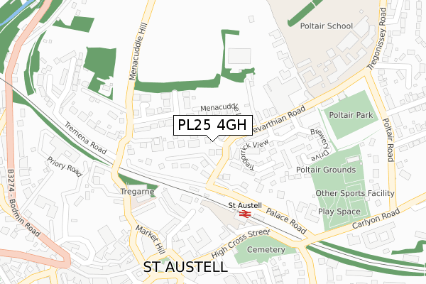
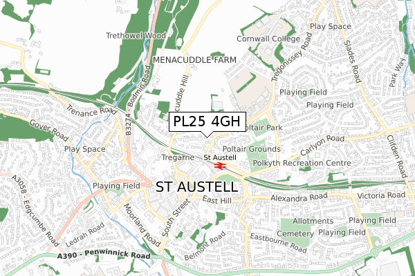
PL25 4GH is located in the St Austell Poltair & Mount Charles electoral ward, within the unitary authority of Cornwall and the English Parliamentary constituency of St Austell and Newquay. The Sub Integrated Care Board (ICB) Location is NHS Cornwall and the Isles of Scilly ICB - 11N and the police force is Devon & Cornwall. This postcode has been in use since February 2019.


GetTheData
Source: OS Open Zoomstack (Ordnance Survey)
Licence: Open Government Licence (requires attribution)
Attribution: Contains OS data © Crown copyright and database right 2025
Source: Open Postcode Geo
Licence: Open Government Licence (requires attribution)
Attribution: Contains OS data © Crown copyright and database right 2025; Contains Royal Mail data © Royal Mail copyright and database right 2025; Source: Office for National Statistics licensed under the Open Government Licence v.3.0
| Easting | 202442 |
| Northing | 53017 |
| Latitude | 50.343842 |
| Longitude | -4.777974 |
GetTheData
Source: Open Postcode Geo
Licence: Open Government Licence
| Country | England |
| Postcode District | PL25 |
➜ See where PL25 is on a map ➜ Where is St Austell? | |
GetTheData
Source: Land Registry Price Paid Data
Licence: Open Government Licence
| Ward | St Austell Poltair & Mount Charles |
| Constituency | St Austell And Newquay |
GetTheData
Source: ONS Postcode Database
Licence: Open Government Licence
6, BOSIGRAN PLACE, ST AUSTELL, PL25 4GH 2019 27 FEB £235,000 |
7, BOSIGRAN PLACE, ST AUSTELL, PL25 4GH 2019 15 FEB £240,000 |
5, BOSIGRAN PLACE, ST AUSTELL, PL25 4GH 2018 5 MAR £335,000 |
GetTheData
Source: HM Land Registry Price Paid Data
Licence: Contains HM Land Registry data © Crown copyright and database right 2025. This data is licensed under the Open Government Licence v3.0.
| Slades Road Junc (Slades Road) | St Austell | 75m |
| Slades Road Junc (Tremayne Road) | St Austell | 82m |
| Trimmers (Slades Road) | Boscoppa | 132m |
| Trimmers (Slades Road) | Boscoppa | 141m |
| Aldi (Car Park) | St Austell | 204m |
| St Austell Station | 0.9km |
GetTheData
Source: NaPTAN
Licence: Open Government Licence
GetTheData
Source: ONS Postcode Database
Licence: Open Government Licence


➜ Get more ratings from the Food Standards Agency
GetTheData
Source: Food Standards Agency
Licence: FSA terms & conditions
| Last Collection | |||
|---|---|---|---|
| Location | Mon-Fri | Sat | Distance |
| St Austell Post Office | 18:00 | 12:30 | 753m |
| Railway Station | 17:30 | 09:30 | 932m |
| Asda | 17:45 | 12:00 | 1,043m |
GetTheData
Source: Dracos
Licence: Creative Commons Attribution-ShareAlike
The below table lists the International Territorial Level (ITL) codes (formerly Nomenclature of Territorial Units for Statistics (NUTS) codes) and Local Administrative Units (LAU) codes for PL25 4GH:
| ITL 1 Code | Name |
|---|---|
| TLK | South West (England) |
| ITL 2 Code | Name |
| TLK3 | Cornwall and Isles of Scilly |
| ITL 3 Code | Name |
| TLK30 | Cornwall and Isles of Scilly |
| LAU 1 Code | Name |
| E06000052 | Cornwall |
GetTheData
Source: ONS Postcode Directory
Licence: Open Government Licence
The below table lists the Census Output Area (OA), Lower Layer Super Output Area (LSOA), and Middle Layer Super Output Area (MSOA) for PL25 4GH:
| Code | Name | |
|---|---|---|
| OA | E00096240 | |
| LSOA | E01019046 | Cornwall 039F |
| MSOA | E02003963 | Cornwall 039 |
GetTheData
Source: ONS Postcode Directory
Licence: Open Government Licence
| PL25 4HQ | Slades Road | 49m |
| PL25 4NF | Tremayne Road | 60m |
| PL25 4HG | Slades Road | 64m |
| PL25 4HF | Slades Road | 75m |
| PL25 4JQ | Robartes Place | 113m |
| PL25 4HH | Manor Close | 122m |
| PL25 4HE | Slades Road | 141m |
| PL25 4JG | Central Avenue | 150m |
| PL25 4NE | Tremayne Road | 160m |
| PL25 4HN | Slades Road | 163m |
GetTheData
Source: Open Postcode Geo; Land Registry Price Paid Data
Licence: Open Government Licence