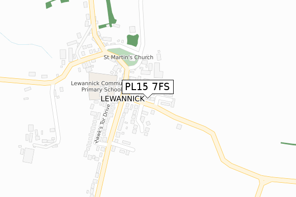
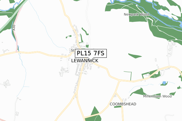
PL15 7FS is located in the Altarnun & Stoke Climsland electoral ward, within the unitary authority of Cornwall and the English Parliamentary constituency of North Cornwall. The Sub Integrated Care Board (ICB) Location is NHS Cornwall and the Isles of Scilly ICB - 11N and the police force is Devon & Cornwall. This postcode has been in use since September 2017.


GetTheData
Source: OS Open Zoomstack (Ordnance Survey)
Licence: Open Government Licence (requires attribution)
Attribution: Contains OS data © Crown copyright and database right 2025
Source: Open Postcode Geo
Licence: Open Government Licence (requires attribution)
Attribution: Contains OS data © Crown copyright and database right 2025; Contains Royal Mail data © Royal Mail copyright and database right 2025; Source: Office for National Statistics licensed under the Open Government Licence v.3.0
| Easting | 227659 |
| Northing | 80569 |
| Latitude | 50.599323 |
| Longitude | -4.436615 |
GetTheData
Source: Open Postcode Geo
Licence: Open Government Licence
| Country | England |
| Postcode District | PL15 |
➜ See where PL15 is on a map ➜ Where is Lewannick? | |
GetTheData
Source: Land Registry Price Paid Data
Licence: Open Government Licence
| Ward | Altarnun & Stoke Climsland |
| Constituency | North Cornwall |
GetTheData
Source: ONS Postcode Database
Licence: Open Government Licence
| St Martins Close | Lewannick | 93m |
| Hawk's Tor Drive | Lewannick | 193m |
| Hawk's Tor Drive | Lewannick | 214m |
| Archers Arms | Lewannick | 219m |
| Two Bridges (A30) | Polyphant | 1,335m |
GetTheData
Source: NaPTAN
Licence: Open Government Licence
| Percentage of properties with Next Generation Access | 0.0% |
| Percentage of properties with Superfast Broadband | 0.0% |
| Percentage of properties with Ultrafast Broadband | 0.0% |
| Percentage of properties with Full Fibre Broadband | 0.0% |
Superfast Broadband is between 30Mbps and 300Mbps
Ultrafast Broadband is > 300Mbps
| Percentage of properties unable to receive 2Mbps | 0.0% |
| Percentage of properties unable to receive 5Mbps | 0.0% |
| Percentage of properties unable to receive 10Mbps | 0.0% |
| Percentage of properties unable to receive 30Mbps | 100.0% |
GetTheData
Source: Ofcom
Licence: Ofcom Terms of Use (requires attribution)
GetTheData
Source: ONS Postcode Database
Licence: Open Government Licence


➜ Get more ratings from the Food Standards Agency
GetTheData
Source: Food Standards Agency
Licence: FSA terms & conditions
| Last Collection | |||
|---|---|---|---|
| Location | Mon-Fri | Sat | Distance |
| Plusha Cross | 16:00 | 07:00 | 2,413m |
| Kennards House | 10:30 | 10:30 | 2,841m |
| Laneast | 15:15 | 08:30 | 5,897m |
GetTheData
Source: Dracos
Licence: Creative Commons Attribution-ShareAlike
The below table lists the International Territorial Level (ITL) codes (formerly Nomenclature of Territorial Units for Statistics (NUTS) codes) and Local Administrative Units (LAU) codes for PL15 7FS:
| ITL 1 Code | Name |
|---|---|
| TLK | South West (England) |
| ITL 2 Code | Name |
| TLK3 | Cornwall and Isles of Scilly |
| ITL 3 Code | Name |
| TLK30 | Cornwall and Isles of Scilly |
| LAU 1 Code | Name |
| E06000052 | Cornwall |
GetTheData
Source: ONS Postcode Directory
Licence: Open Government Licence
The below table lists the Census Output Area (OA), Lower Layer Super Output Area (LSOA), and Middle Layer Super Output Area (MSOA) for PL15 7FS:
| Code | Name | |
|---|---|---|
| OA | E00095777 | |
| LSOA | E01018965 | Cornwall 006C |
| MSOA | E02003936 | Cornwall 006 |
GetTheData
Source: ONS Postcode Directory
Licence: Open Government Licence
| PL15 7QB | Cottage Gardens | 77m |
| PL15 7QG | St Martins Close | 105m |
| PL15 7QY | Hawks Tor Drive | 179m |
| PL15 7FD | Harpers Meadow | 202m |
| PL15 7QD | 228m | |
| PL15 7QL | Lewannick Close | 277m |
| PL15 7QE | 344m | |
| PL15 7QF | 393m | |
| PL15 7QQ | 1091m | |
| PL15 7QN | 1406m |
GetTheData
Source: Open Postcode Geo; Land Registry Price Paid Data
Licence: Open Government Licence