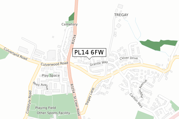
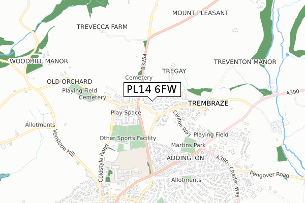
PL14 6FW is located in the Liskeard Central electoral ward, within the unitary authority of Cornwall and the English Parliamentary constituency of South East Cornwall. The Sub Integrated Care Board (ICB) Location is NHS Cornwall and the Isles of Scilly ICB - 11N and the police force is Devon & Cornwall. This postcode has been in use since August 2019.


GetTheData
Source: OS Open Zoomstack (Ordnance Survey)
Licence: Open Government Licence (requires attribution)
Attribution: Contains OS data © Crown copyright and database right 2024
Source: Open Postcode Geo
Licence: Open Government Licence (requires attribution)
Attribution: Contains OS data © Crown copyright and database right 2024; Contains Royal Mail data © Royal Mail copyright and database right 2024; Source: Office for National Statistics licensed under the Open Government Licence v.3.0
| Easting | 225491 |
| Northing | 65582 |
| Latitude | 50.464023 |
| Longitude | -4.460204 |
GetTheData
Source: Open Postcode Geo
Licence: Open Government Licence
| Country | England |
| Postcode District | PL14 |
➜ See where PL14 is on a map ➜ Where is Liskeard? | |
GetTheData
Source: Land Registry Price Paid Data
Licence: Open Government Licence
| Ward | Liskeard Central |
| Constituency | South East Cornwall |
GetTheData
Source: ONS Postcode Database
Licence: Open Government Licence
| Trevecca Cottages | Liskeard | 113m |
| Trevecca Cottages (St Cleer Road) | Liskeard | 122m |
| Lux Park (St Cleer Road) | Liskeard | 211m |
| Football Ground (Tregay Lane) | Liskeard | 321m |
| Portland Terrace | Liskeard | 421m |
| Liskeard Station | 2km |
| Coombe Junction Halt (Station) | 2.5km |
| St Keyne Wishing Well Halt (Station) | 4.6km |
GetTheData
Source: NaPTAN
Licence: Open Government Licence
GetTheData
Source: ONS Postcode Database
Licence: Open Government Licence


➜ Get more ratings from the Food Standards Agency
GetTheData
Source: Food Standards Agency
Licence: FSA terms & conditions
| Last Collection | |||
|---|---|---|---|
| Location | Mon-Fri | Sat | Distance |
| Market Street | 15:00 | 12:15 | 1,053m |
| Church Street | 15:00 | 12:15 | 1,171m |
| Tremabe Bridge | 11:00 | 11:00 | 1,357m |
GetTheData
Source: Dracos
Licence: Creative Commons Attribution-ShareAlike
The below table lists the International Territorial Level (ITL) codes (formerly Nomenclature of Territorial Units for Statistics (NUTS) codes) and Local Administrative Units (LAU) codes for PL14 6FW:
| ITL 1 Code | Name |
|---|---|
| TLK | South West (England) |
| ITL 2 Code | Name |
| TLK3 | Cornwall and Isles of Scilly |
| ITL 3 Code | Name |
| TLK30 | Cornwall and Isles of Scilly |
| LAU 1 Code | Name |
| E06000052 | Cornwall |
GetTheData
Source: ONS Postcode Directory
Licence: Open Government Licence
The below table lists the Census Output Area (OA), Lower Layer Super Output Area (LSOA), and Middle Layer Super Output Area (MSOA) for PL14 6FW:
| Code | Name | |
|---|---|---|
| OA | E00094747 | |
| LSOA | E01018769 | Cornwall 016C |
| MSOA | E02003895 | Cornwall 016 |
GetTheData
Source: ONS Postcode Directory
Licence: Open Government Licence
| PL14 6AN | Hooper Court | 152m |
| PL14 6RH | Trevecca Cottages | 155m |
| PL14 3HY | Culverland Park | 215m |
| PL14 6RG | Tregay Lane | 224m |
| PL14 3HX | Wrey Avenue | 296m |
| PL14 3FU | Pippin Avenue | 304m |
| PL14 3FS | Carlton Way | 346m |
| PL14 3TW | Moorland Close | 356m |
| PL14 3HN | St Cleer Road | 365m |
| PL14 3FX | Hockings Green | 365m |
GetTheData
Source: Open Postcode Geo; Land Registry Price Paid Data
Licence: Open Government Licence