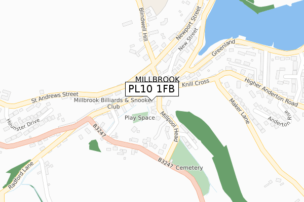
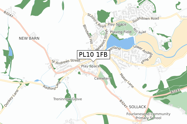
PL10 1FB is located in the Rame Peninsula & St Germans electoral ward, within the unitary authority of Cornwall and the English Parliamentary constituency of South East Cornwall. The Sub Integrated Care Board (ICB) Location is NHS Cornwall and the Isles of Scilly ICB - 11N and the police force is Devon & Cornwall. This postcode has been in use since September 2018.


GetTheData
Source: OS Open Zoomstack (Ordnance Survey)
Licence: Open Government Licence (requires attribution)
Attribution: Contains OS data © Crown copyright and database right 2025
Source: Open Postcode Geo
Licence: Open Government Licence (requires attribution)
Attribution: Contains OS data © Crown copyright and database right 2025; Contains Royal Mail data © Royal Mail copyright and database right 2025; Source: Office for National Statistics licensed under the Open Government Licence v.3.0
| Easting | 242292 |
| Northing | 52047 |
| Latitude | 50.347153 |
| Longitude | -4.217987 |
GetTheData
Source: Open Postcode Geo
Licence: Open Government Licence
| Country | England |
| Postcode District | PL10 |
➜ See where PL10 is on a map ➜ Where is Millbrook? | |
GetTheData
Source: Land Registry Price Paid Data
Licence: Open Government Licence
| Ward | Rame Peninsula & St Germans |
| Constituency | South East Cornwall |
GetTheData
Source: ONS Postcode Database
Licence: Open Government Licence
| West Street | Millbrook | 89m |
| West Street | Millbrook | 98m |
| The Parade | Millbrook | 148m |
| The Parade | Millbrook | 158m |
| West End Terrace (B3247) | Millbrook | 191m |
| Devonport Station | 4.8km |
| Dockyard (Plymouth) Station | 4.9km |
| Keyham Station | 5.5km |
GetTheData
Source: NaPTAN
Licence: Open Government Licence
GetTheData
Source: ONS Postcode Database
Licence: Open Government Licence


➜ Get more ratings from the Food Standards Agency
GetTheData
Source: Food Standards Agency
Licence: FSA terms & conditions
| Last Collection | |||
|---|---|---|---|
| Location | Mon-Fri | Sat | Distance |
| Millbrook Post Office | 16:00 | 10:00 | 57m |
| Anderton (Millbrook) | 16:00 | 10:00 | 166m |
| Hounster Drive | 15:45 | 10:00 | 458m |
GetTheData
Source: Dracos
Licence: Creative Commons Attribution-ShareAlike
| Risk of PL10 1FB flooding from rivers and sea | High |
| ➜ PL10 1FB flood map | |
GetTheData
Source: Open Flood Risk by Postcode
Licence: Open Government Licence
The below table lists the International Territorial Level (ITL) codes (formerly Nomenclature of Territorial Units for Statistics (NUTS) codes) and Local Administrative Units (LAU) codes for PL10 1FB:
| ITL 1 Code | Name |
|---|---|
| TLK | South West (England) |
| ITL 2 Code | Name |
| TLK3 | Cornwall and Isles of Scilly |
| ITL 3 Code | Name |
| TLK30 | Cornwall and Isles of Scilly |
| LAU 1 Code | Name |
| E06000052 | Cornwall |
GetTheData
Source: ONS Postcode Directory
Licence: Open Government Licence
The below table lists the Census Output Area (OA), Lower Layer Super Output Area (LSOA), and Middle Layer Super Output Area (MSOA) for PL10 1FB:
| Code | Name | |
|---|---|---|
| OA | E00094810 | |
| LSOA | E01018780 | Cornwall 034A |
| MSOA | E02003903 | Cornwall 034 |
GetTheData
Source: ONS Postcode Directory
Licence: Open Government Licence
| PL10 1AA | West Street | 56m |
| PL10 1AW | Millpool Head | 59m |
| PL10 1AF | West Street | 68m |
| PL10 1BA | Fore Street | 86m |
| PL10 1AP | King Street | 92m |
| PL10 1AS | West Quay | 102m |
| PL10 1AZ | Dawes Lane | 114m |
| PL10 1RT | Richards Terrace | 118m |
| PL10 1BE | St Andrews Street | 123m |
| PL10 1AU | Knill Cross Cottages | 124m |
GetTheData
Source: Open Postcode Geo; Land Registry Price Paid Data
Licence: Open Government Licence