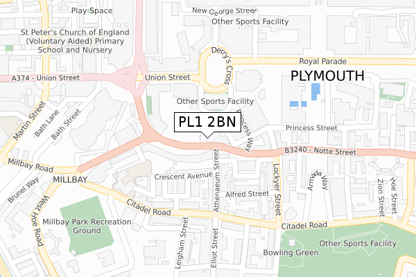
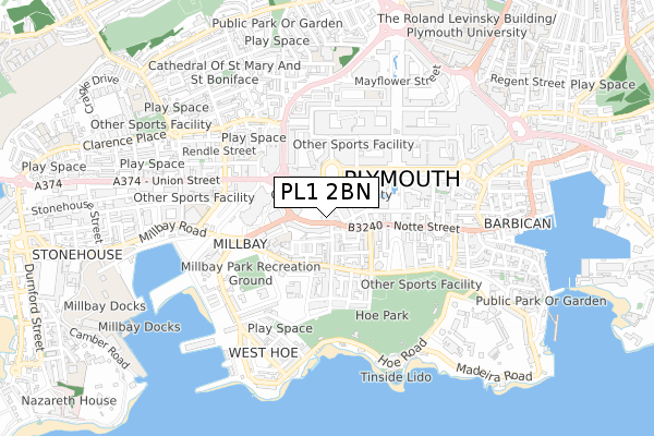
PL1 2BN is located in the St Peter and the Waterfront electoral ward, within the unitary authority of Plymouth and the English Parliamentary constituency of Plymouth, Sutton and Devonport. The Sub Integrated Care Board (ICB) Location is NHS Devon ICB - 15N and the police force is Devon & Cornwall. This postcode has been in use since November 2017.


GetTheData
Source: OS Open Zoomstack (Ordnance Survey)
Licence: Open Government Licence (requires attribution)
Attribution: Contains OS data © Crown copyright and database right 2024
Source: Open Postcode Geo
Licence: Open Government Licence (requires attribution)
Attribution: Contains OS data © Crown copyright and database right 2024; Contains Royal Mail data © Royal Mail copyright and database right 2024; Source: Office for National Statistics licensed under the Open Government Licence v.3.0
| Easting | 247476 |
| Northing | 54277 |
| Latitude | 50.368560 |
| Longitude | -4.146082 |
GetTheData
Source: Open Postcode Geo
Licence: Open Government Licence
| Country | England |
| Postcode District | PL1 |
➜ See where PL1 is on a map ➜ Where is Plymouth? | |
GetTheData
Source: Land Registry Price Paid Data
Licence: Open Government Licence
| Ward | St Peter And The Waterfront |
| Constituency | Plymouth, Sutton And Devonport |
GetTheData
Source: ONS Postcode Database
Licence: Open Government Licence
| Athenaeum Place (Notte Street) | West Hoe | 71m |
| The Walrus (Notte Street) | West Hoe | 75m |
| Walkabout (Union Street) | Plymouth | 159m |
| Derry's Cross South (Derry's Cross) | Plymouth | 165m |
| Leigham Street (Citadel Road) | The Hoe | 178m |
| Plymouth Station | 1km |
| Devonport Station | 2.1km |
| Dockyard (Plymouth) Station | 2.6km |
GetTheData
Source: NaPTAN
Licence: Open Government Licence
GetTheData
Source: ONS Postcode Database
Licence: Open Government Licence


➜ Get more ratings from the Food Standards Agency
GetTheData
Source: Food Standards Agency
Licence: FSA terms & conditions
| Last Collection | |||
|---|---|---|---|
| Location | Mon-Fri | Sat | Distance |
| Citadel Road | 19:00 | 12:15 | 187m |
| Derrys Cross | 18:45 | 12:00 | 193m |
| Lockyer Street | 19:00 | 12:15 | 218m |
GetTheData
Source: Dracos
Licence: Creative Commons Attribution-ShareAlike
The below table lists the International Territorial Level (ITL) codes (formerly Nomenclature of Territorial Units for Statistics (NUTS) codes) and Local Administrative Units (LAU) codes for PL1 2BN:
| ITL 1 Code | Name |
|---|---|
| TLK | South West (England) |
| ITL 2 Code | Name |
| TLK4 | Devon |
| ITL 3 Code | Name |
| TLK41 | Plymouth |
| LAU 1 Code | Name |
| E06000026 | Plymouth |
GetTheData
Source: ONS Postcode Directory
Licence: Open Government Licence
The below table lists the Census Output Area (OA), Lower Layer Super Output Area (LSOA), and Middle Layer Super Output Area (MSOA) for PL1 2BN:
| Code | Name | |
|---|---|---|
| OA | E00076559 | |
| LSOA | E01015156 | Plymouth 027E |
| MSOA | E02003148 | Plymouth 027 |
GetTheData
Source: ONS Postcode Directory
Licence: Open Government Licence
| PL1 3AB | The Crescent | 83m |
| PL1 3AN | Crescent Avenue | 90m |
| PL1 2RH | Athenaeum Street | 95m |
| PL1 2SW | Derrys Cross | 103m |
| PL1 3FH | The Crescent | 114m |
| PL1 3AP | Crescent Avenue Mews | 115m |
| PL1 3LB | Millbay Road | 118m |
| PL1 3AS | St James Place East | 123m |
| PL1 3FG | The Crescent | 140m |
| PL1 2RP | Alfred Street | 149m |
GetTheData
Source: Open Postcode Geo; Land Registry Price Paid Data
Licence: Open Government Licence