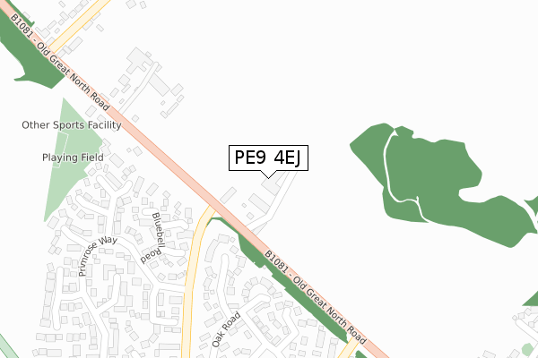
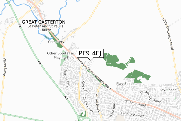
PE9 4EJ is located in the Ryhall & Casterton electoral ward, within the unitary authority of Rutland and the English Parliamentary constituency of Rutland and Melton. The Sub Integrated Care Board (ICB) Location is NHS Leicester, Leicestershire and Rutland ICB - 03W and the police force is Leicestershire. This postcode has been in use since September 2017.


GetTheData
Source: OS Open Zoomstack (Ordnance Survey)
Licence: Open Government Licence (requires attribution)
Attribution: Contains OS data © Crown copyright and database right 2025
Source: Open Postcode Geo
Licence: Open Government Licence (requires attribution)
Attribution: Contains OS data © Crown copyright and database right 2025; Contains Royal Mail data © Royal Mail copyright and database right 2025; Source: Office for National Statistics licensed under the Open Government Licence v.3.0
| Easting | 500757 |
| Northing | 308352 |
| Latitude | 52.663551 |
| Longitude | -0.511618 |
GetTheData
Source: Open Postcode Geo
Licence: Open Government Licence
| Country | England |
| Postcode District | PE9 |
➜ See where PE9 is on a map | |
GetTheData
Source: Land Registry Price Paid Data
Licence: Open Government Licence
| Ward | Ryhall & Casterton |
| Constituency | Rutland And Melton |
GetTheData
Source: ONS Postcode Database
Licence: Open Government Licence
| Sidney Farm Lane (Old Great North Road) | Stamford | 96m |
| Sidney Farm Lane (Old Great North Road) | Stamford | 113m |
| Fife Close (Arran Road) | Stamford | 355m |
| Fife Close (Arran Road) | Stamford | 358m |
| Arran Road (North End) (Old Great North Road) | Stamford | 362m |
| Stamford Station | 2.8km |
GetTheData
Source: NaPTAN
Licence: Open Government Licence
GetTheData
Source: ONS Postcode Database
Licence: Open Government Licence


➜ Get more ratings from the Food Standards Agency
GetTheData
Source: Food Standards Agency
Licence: FSA terms & conditions
| Last Collection | |||
|---|---|---|---|
| Location | Mon-Fri | Sat | Distance |
| Primrose Way | 17:30 | 12:00 | 285m |
| Gt Casterton | 16:30 | 11:00 | 494m |
| Primrose Way South | 17:30 | 12:00 | 535m |
GetTheData
Source: Dracos
Licence: Creative Commons Attribution-ShareAlike
The below table lists the International Territorial Level (ITL) codes (formerly Nomenclature of Territorial Units for Statistics (NUTS) codes) and Local Administrative Units (LAU) codes for PE9 4EJ:
| ITL 1 Code | Name |
|---|---|
| TLF | East Midlands (England) |
| ITL 2 Code | Name |
| TLF2 | Leicestershire, Rutland and Northamptonshire |
| ITL 3 Code | Name |
| TLF22 | Leicestershire CC and Rutland |
| LAU 1 Code | Name |
| E06000017 | Rutland |
GetTheData
Source: ONS Postcode Directory
Licence: Open Government Licence
The below table lists the Census Output Area (OA), Lower Layer Super Output Area (LSOA), and Middle Layer Super Output Area (MSOA) for PE9 4EJ:
| Code | Name | |
|---|---|---|
| OA | E00069635 | |
| LSOA | E01013805 | Rutland 004E |
| MSOA | E02002866 | Rutland 004 |
GetTheData
Source: ONS Postcode Directory
Licence: Open Government Licence
| PE9 4BT | Lavender Way | 188m |
| PE9 2FL | Forest Gardens | 204m |
| PE9 4BS | Buttercup Close | 218m |
| PE9 4BX | Bluebell Road | 236m |
| PE9 2FB | Birch Road | 275m |
| PE9 4BW | Foxglove Road | 280m |
| PE9 4DG | Meadowsweet | 328m |
| PE9 2JG | Oak Road | 340m |
| PE9 4BY | Campion Grove | 344m |
| PE9 2FF | Willow Road | 358m |
GetTheData
Source: Open Postcode Geo; Land Registry Price Paid Data
Licence: Open Government Licence