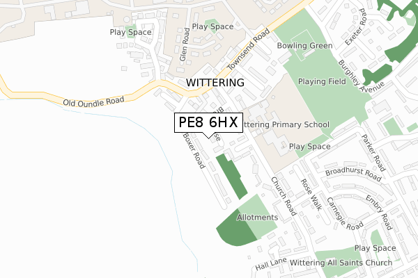
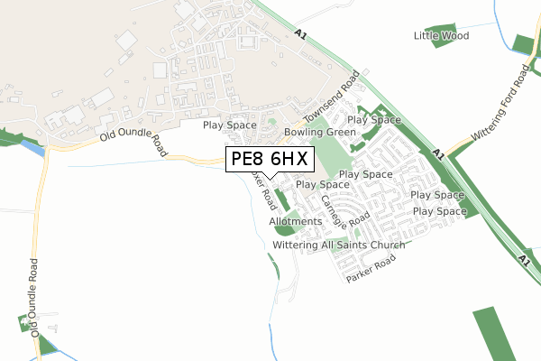
PE8 6HX is located in the Wittering electoral ward, within the unitary authority of Peterborough and the English Parliamentary constituency of North West Cambridgeshire. The Sub Integrated Care Board (ICB) Location is NHS Cambridgeshire and Peterborough ICB - 06H and the police force is Cambridgeshire. This postcode has been in use since January 2020.


GetTheData
Source: OS Open Zoomstack (Ordnance Survey)
Licence: Open Government Licence (requires attribution)
Attribution: Contains OS data © Crown copyright and database right 2025
Source: Open Postcode Geo
Licence: Open Government Licence (requires attribution)
Attribution: Contains OS data © Crown copyright and database right 2025; Contains Royal Mail data © Royal Mail copyright and database right 2025; Source: Office for National Statistics licensed under the Open Government Licence v.3.0
| Easting | 505344 |
| Northing | 302312 |
| Latitude | 52.608402 |
| Longitude | -0.445744 |
GetTheData
Source: Open Postcode Geo
Licence: Open Government Licence
| Country | England |
| Postcode District | PE8 |
➜ See where PE8 is on a map ➜ Where is Wittering? | |
GetTheData
Source: Land Registry Price Paid Data
Licence: Open Government Licence
| Ward | Wittering |
| Constituency | North West Cambridgeshire |
GetTheData
Source: ONS Postcode Database
Licence: Open Government Licence
2022 5 DEC £254,250 |
2021 5 MAY £255,000 |
GetTheData
Source: HM Land Registry Price Paid Data
Licence: Contains HM Land Registry data © Crown copyright and database right 2025. This data is licensed under the Open Government Licence v3.0.
| Post Office (Townsend Road) | Wittering | 162m |
| Church Road | Wittering | 253m |
| Exeter Road (Burghley Avenue) | Wittering | 368m |
| Spar Shop (St Georges Road) | Wittering | 537m |
| Parker Road | Wittering | 541m |
| Stamford Station | 5km |
GetTheData
Source: NaPTAN
Licence: Open Government Licence
GetTheData
Source: ONS Postcode Database
Licence: Open Government Licence


➜ Get more ratings from the Food Standards Agency
GetTheData
Source: Food Standards Agency
Licence: FSA terms & conditions
| Last Collection | |||
|---|---|---|---|
| Location | Mon-Fri | Sat | Distance |
| Southorpe | 16:45 | 09:30 | 3,056m |
| Walcott Hall | 16:45 | 10:00 | 3,333m |
| Barnack Road | 16:45 | 10:00 | 3,395m |
GetTheData
Source: Dracos
Licence: Creative Commons Attribution-ShareAlike
The below table lists the International Territorial Level (ITL) codes (formerly Nomenclature of Territorial Units for Statistics (NUTS) codes) and Local Administrative Units (LAU) codes for PE8 6HX:
| ITL 1 Code | Name |
|---|---|
| TLH | East |
| ITL 2 Code | Name |
| TLH1 | East Anglia |
| ITL 3 Code | Name |
| TLH11 | Peterborough |
| LAU 1 Code | Name |
| E06000031 | Peterborough |
GetTheData
Source: ONS Postcode Directory
Licence: Open Government Licence
The below table lists the Census Output Area (OA), Lower Layer Super Output Area (LSOA), and Middle Layer Super Output Area (MSOA) for PE8 6HX:
| Code | Name | |
|---|---|---|
| OA | E00171327 | |
| LSOA | E01015628 | Peterborough 004D |
| MSOA | E02003240 | Peterborough 004 |
GetTheData
Source: ONS Postcode Directory
Licence: Open Government Licence
| PE8 6HQ | Chapel Court | 54m |
| PE8 6BG | Dormans Corner | 90m |
| PE8 6AA | Main Street | 91m |
| PE8 6AD | Townsend Close | 158m |
| PE8 6AG | Church Road | 158m |
| PE8 6AB | Towns End Road | 164m |
| PE8 6BQ | The Limes | 184m |
| PE8 6AF | Church Road | 206m |
| PE8 6DU | Park Farm | 232m |
| PE8 6BH | Harvey Close | 236m |
GetTheData
Source: Open Postcode Geo; Land Registry Price Paid Data
Licence: Open Government Licence