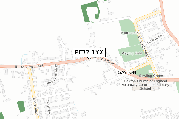
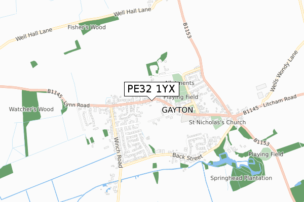
PE32 1YX is located in the Gayton & Grimston electoral ward, within the local authority district of King's Lynn and West Norfolk and the English Parliamentary constituency of North West Norfolk. The Sub Integrated Care Board (ICB) Location is NHS Norfolk and Waveney ICB - 26A and the police force is Norfolk. This postcode has been in use since May 2019.


GetTheData
Source: OS Open Zoomstack (Ordnance Survey)
Licence: Open Government Licence (requires attribution)
Attribution: Contains OS data © Crown copyright and database right 2025
Source: Open Postcode Geo
Licence: Open Government Licence (requires attribution)
Attribution: Contains OS data © Crown copyright and database right 2025; Contains Royal Mail data © Royal Mail copyright and database right 2025; Source: Office for National Statistics licensed under the Open Government Licence v.3.0
| Easting | 572514 |
| Northing | 319417 |
| Latitude | 52.744866 |
| Longitude | 0.554288 |
GetTheData
Source: Open Postcode Geo
Licence: Open Government Licence
| Country | England |
| Postcode District | PE32 |
➜ See where PE32 is on a map ➜ Where is Gayton? | |
GetTheData
Source: Land Registry Price Paid Data
Licence: Open Government Licence
| Ward | Gayton & Grimston |
| Constituency | North West Norfolk |
GetTheData
Source: ONS Postcode Database
Licence: Open Government Licence
| Orchard Road (Lynn Road) | Gayton | 180m |
| Orchard Road (Lynn Road) | Gayton | 235m |
| Winch Road (Lynn Road) | Gayton | 268m |
| Winch Road (Lynn Road) | Gayton | 270m |
| Lime Grove (Grimston Road) | Gayton | 449m |
GetTheData
Source: NaPTAN
Licence: Open Government Licence
GetTheData
Source: ONS Postcode Database
Licence: Open Government Licence


➜ Get more ratings from the Food Standards Agency
GetTheData
Source: Food Standards Agency
Licence: FSA terms & conditions
| Last Collection | |||
|---|---|---|---|
| Location | Mon-Fri | Sat | Distance |
| Lynn Road | 17:30 | 11:45 | 3,892m |
| Chequers Road | 17:15 | 08:15 | 3,936m |
GetTheData
Source: Dracos
Licence: Creative Commons Attribution-ShareAlike
The below table lists the International Territorial Level (ITL) codes (formerly Nomenclature of Territorial Units for Statistics (NUTS) codes) and Local Administrative Units (LAU) codes for PE32 1YX:
| ITL 1 Code | Name |
|---|---|
| TLH | East |
| ITL 2 Code | Name |
| TLH1 | East Anglia |
| ITL 3 Code | Name |
| TLH16 | North and West Norfolk |
| LAU 1 Code | Name |
| E07000146 | King's Lynn and West Norfolk |
GetTheData
Source: ONS Postcode Directory
Licence: Open Government Licence
The below table lists the Census Output Area (OA), Lower Layer Super Output Area (LSOA), and Middle Layer Super Output Area (MSOA) for PE32 1YX:
| Code | Name | |
|---|---|---|
| OA | E00135517 | |
| LSOA | E01026665 | King's Lynn and West Norfolk 012A |
| MSOA | E02005562 | King's Lynn and West Norfolk 012 |
GetTheData
Source: ONS Postcode Directory
Licence: Open Government Licence
| PE32 1PB | Jubilee Hall Lane | 100m |
| PE32 1PE | Hills Crescent | 107m |
| PE32 1QL | Blacksmiths Row | 117m |
| PE32 1QN | Rosemary Lane | 163m |
| PE32 1QJ | Lynn Road | 214m |
| PE32 1QX | Ebenezer Cottages | 232m |
| PE32 1PA | Lynn Road | 240m |
| PE32 1QW | Lansdowne Close | 247m |
| PE32 1PZ | Orchard Road | 261m |
| PE32 1QZ | Springvale | 271m |
GetTheData
Source: Open Postcode Geo; Land Registry Price Paid Data
Licence: Open Government Licence