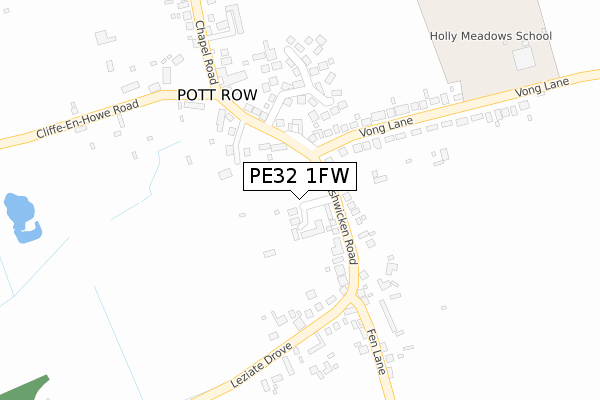
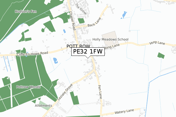
PE32 1FW is located in the Gayton & Grimston electoral ward, within the local authority district of King's Lynn and West Norfolk and the English Parliamentary constituency of North West Norfolk. The Sub Integrated Care Board (ICB) Location is NHS Norfolk and Waveney ICB - 26A and the police force is Norfolk. This postcode has been in use since January 2019.


GetTheData
Source: OS Open Zoomstack (Ordnance Survey)
Licence: Open Government Licence (requires attribution)
Attribution: Contains OS data © Crown copyright and database right 2024
Source: Open Postcode Geo
Licence: Open Government Licence (requires attribution)
Attribution: Contains OS data © Crown copyright and database right 2024; Contains Royal Mail data © Royal Mail copyright and database right 2024; Source: Office for National Statistics licensed under the Open Government Licence v.3.0
| Easting | 570430 |
| Northing | 321787 |
| Latitude | 52.766811 |
| Longitude | 0.524678 |
GetTheData
Source: Open Postcode Geo
Licence: Open Government Licence
| Country | England |
| Postcode District | PE32 |
➜ See where PE32 is on a map ➜ Where is Pott Row? | |
GetTheData
Source: Land Registry Price Paid Data
Licence: Open Government Licence
| Ward | Gayton & Grimston |
| Constituency | North West Norfolk |
GetTheData
Source: ONS Postcode Database
Licence: Open Government Licence
| Ashwicken Road | Pott Row | 80m |
| Vong Lane | Pott Row | 103m |
| Vong Lane | Pott Row | 132m |
| Primary School (Chapel Road) | Pott Row | 217m |
| Primary School (Chapel Road) | Pott Row | 274m |
GetTheData
Source: NaPTAN
Licence: Open Government Licence
GetTheData
Source: ONS Postcode Database
Licence: Open Government Licence


➜ Get more ratings from the Food Standards Agency
GetTheData
Source: Food Standards Agency
Licence: FSA terms & conditions
| Last Collection | |||
|---|---|---|---|
| Location | Mon-Fri | Sat | Distance |
| Chequers Road | 17:15 | 08:15 | 880m |
| Lynn Road | 17:30 | 11:45 | 1,050m |
| Castle Rising Post Office | 17:00 | 11:20 | 4,850m |
GetTheData
Source: Dracos
Licence: Creative Commons Attribution-ShareAlike
The below table lists the International Territorial Level (ITL) codes (formerly Nomenclature of Territorial Units for Statistics (NUTS) codes) and Local Administrative Units (LAU) codes for PE32 1FW:
| ITL 1 Code | Name |
|---|---|
| TLH | East |
| ITL 2 Code | Name |
| TLH1 | East Anglia |
| ITL 3 Code | Name |
| TLH16 | North and West Norfolk |
| LAU 1 Code | Name |
| E07000146 | King's Lynn and West Norfolk |
GetTheData
Source: ONS Postcode Directory
Licence: Open Government Licence
The below table lists the Census Output Area (OA), Lower Layer Super Output Area (LSOA), and Middle Layer Super Output Area (MSOA) for PE32 1FW:
| Code | Name | |
|---|---|---|
| OA | E00135570 | |
| LSOA | E01026675 | King's Lynn and West Norfolk 012C |
| MSOA | E02005562 | King's Lynn and West Norfolk 012 |
GetTheData
Source: ONS Postcode Directory
Licence: Open Government Licence
| PE32 1BZ | Ashwicken Road | 95m |
| PE32 1WA | Philip Rudd Court | 202m |
| PE32 1DB | Leziate Drove | 221m |
| PE32 1BS | Chapel Road | 238m |
| PE32 1BW | Vong Lane | 247m |
| PE32 1DA | Fen Lane | 349m |
| PE32 1BU | Hillings Way | 393m |
| PE32 1BT | Back Lane | 476m |
| PE32 1BX | Chapel Road | 563m |
| PE32 1DL | Blake Close | 588m |
GetTheData
Source: Open Postcode Geo; Land Registry Price Paid Data
Licence: Open Government Licence