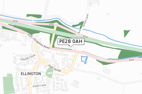
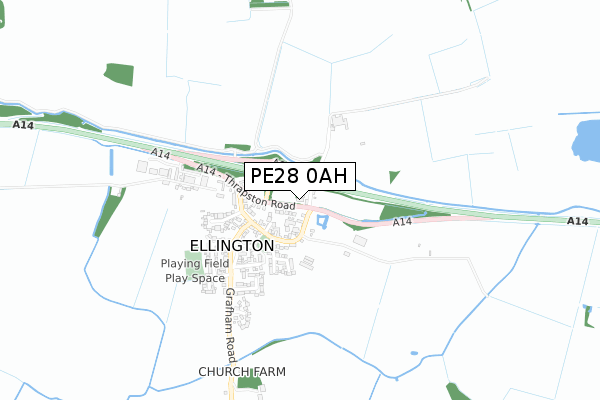
PE28 0AH is located in the Great Staughton electoral ward, within the local authority district of Huntingdonshire and the English Parliamentary constituency of North West Cambridgeshire. The Sub Integrated Care Board (ICB) Location is NHS Cambridgeshire and Peterborough ICB - 06H and the police force is Cambridgeshire. This postcode has been in use since November 2017.


GetTheData
Source: OS Open Zoomstack (Ordnance Survey)
Licence: Open Government Licence (requires attribution)
Attribution: Contains OS data © Crown copyright and database right 2025
Source: Open Postcode Geo
Licence: Open Government Licence (requires attribution)
Attribution: Contains OS data © Crown copyright and database right 2025; Contains Royal Mail data © Royal Mail copyright and database right 2025; Source: Office for National Statistics licensed under the Open Government Licence v.3.0
| Easting | 516178 |
| Northing | 271968 |
| Latitude | 52.333521 |
| Longitude | -0.296380 |
GetTheData
Source: Open Postcode Geo
Licence: Open Government Licence
| Country | England |
| Postcode District | PE28 |
➜ See where PE28 is on a map | |
GetTheData
Source: Land Registry Price Paid Data
Licence: Open Government Licence
| Ward | Great Staughton |
| Constituency | North West Cambridgeshire |
GetTheData
Source: ONS Postcode Database
Licence: Open Government Licence
| Blacksmiths Lane (High Street) | Ellington | 193m |
| Blacksmiths Lane (High Street) | Ellington | 205m |
GetTheData
Source: NaPTAN
Licence: Open Government Licence
GetTheData
Source: ONS Postcode Database
Licence: Open Government Licence


➜ Get more ratings from the Food Standards Agency
GetTheData
Source: Food Standards Agency
Licence: FSA terms & conditions
| Last Collection | |||
|---|---|---|---|
| Location | Mon-Fri | Sat | Distance |
| Woolley | 15:30 | 07:30 | 2,782m |
| Brampton Lane | 16:00 | 09:00 | 2,797m |
| Barham | 15:30 | 07:45 | 4,213m |
GetTheData
Source: Dracos
Licence: Creative Commons Attribution-ShareAlike
The below table lists the International Territorial Level (ITL) codes (formerly Nomenclature of Territorial Units for Statistics (NUTS) codes) and Local Administrative Units (LAU) codes for PE28 0AH:
| ITL 1 Code | Name |
|---|---|
| TLH | East |
| ITL 2 Code | Name |
| TLH1 | East Anglia |
| ITL 3 Code | Name |
| TLH12 | Cambridgeshire CC |
| LAU 1 Code | Name |
| E07000011 | Huntingdonshire |
GetTheData
Source: ONS Postcode Directory
Licence: Open Government Licence
The below table lists the Census Output Area (OA), Lower Layer Super Output Area (LSOA), and Middle Layer Super Output Area (MSOA) for PE28 0AH:
| Code | Name | |
|---|---|---|
| OA | E00091453 | |
| LSOA | E01018125 | Huntingdonshire 015A |
| MSOA | E02003767 | Huntingdonshire 015 |
GetTheData
Source: ONS Postcode Directory
Licence: Open Government Licence
| PE28 0AA | Malting Lane | 0m |
| PE28 0AG | Blacksmiths Lane | 153m |
| PE28 0AB | High Street | 172m |
| PE28 0AD | High Street | 224m |
| PE28 0AE | Thrapston Road | 233m |
| PE28 0AL | Church Lane | 269m |
| PE28 0AF | Grafham Road | 273m |
| PE28 0AX | St Peters Way | 278m |
| PE28 0AZ | Green Lane | 314m |
| PE28 0AR | Hillside Close | 345m |
GetTheData
Source: Open Postcode Geo; Land Registry Price Paid Data
Licence: Open Government Licence