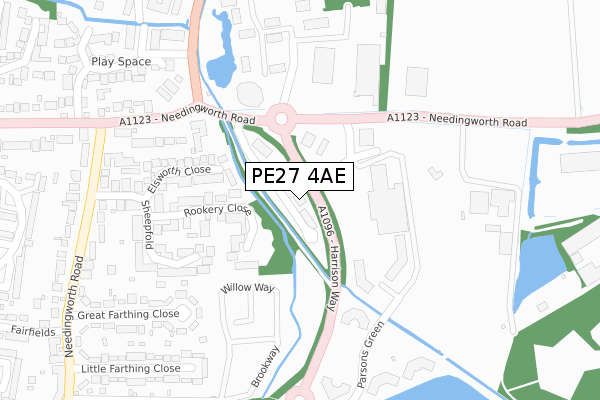
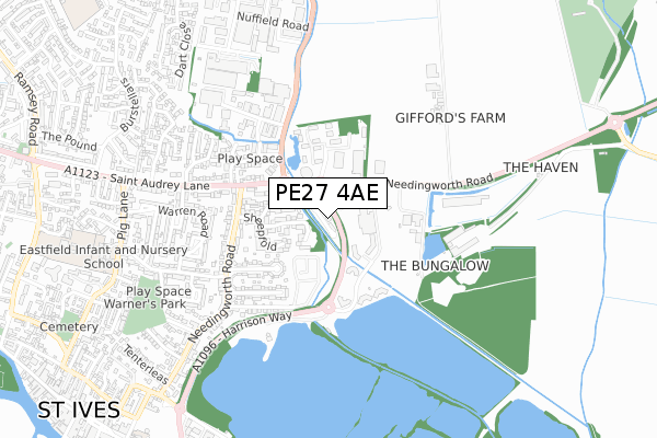
PE27 4AE is located in the St Ives South electoral ward, within the local authority district of Huntingdonshire and the English Parliamentary constituency of North West Cambridgeshire. The Sub Integrated Care Board (ICB) Location is NHS Cambridgeshire and Peterborough ICB - 06H and the police force is Cambridgeshire. This postcode has been in use since September 2018.


GetTheData
Source: OS Open Zoomstack (Ordnance Survey)
Licence: Open Government Licence (requires attribution)
Attribution: Contains OS data © Crown copyright and database right 2024
Source: Open Postcode Geo
Licence: Open Government Licence (requires attribution)
Attribution: Contains OS data © Crown copyright and database right 2024; Contains Royal Mail data © Royal Mail copyright and database right 2024; Source: Office for National Statistics licensed under the Open Government Licence v.3.0
| Easting | 532301 |
| Northing | 271985 |
| Latitude | 52.330028 |
| Longitude | -0.059887 |
GetTheData
Source: Open Postcode Geo
Licence: Open Government Licence
| Country | England |
| Postcode District | PE27 |
➜ See where PE27 is on a map ➜ Where is St Ives? | |
GetTheData
Source: Land Registry Price Paid Data
Licence: Open Government Licence
| Ward | St Ives South |
| Constituency | North West Cambridgeshire |
GetTheData
Source: ONS Postcode Database
Licence: Open Government Licence
| Russet Close (Needingworth Road) | St Ives | 326m |
| Russet Close (Needingworth Road) | St Ives | 330m |
| Needingworth Road | St Ives | 379m |
| Little Farthing Close (Needingworth Road) | St Ives | 454m |
| Little Farthing Close (Needingworth Road) | St Ives | 455m |
GetTheData
Source: NaPTAN
Licence: Open Government Licence
GetTheData
Source: ONS Postcode Database
Licence: Open Government Licence


➜ Get more ratings from the Food Standards Agency
GetTheData
Source: Food Standards Agency
Licence: FSA terms & conditions
| Last Collection | |||
|---|---|---|---|
| Location | Mon-Fri | Sat | Distance |
| Stocks Bridge Way | 17:30 | 11:30 | 260m |
| Green Leys | 17:30 | 11:30 | 373m |
| Needingworth Road | 17:30 | 11:30 | 647m |
GetTheData
Source: Dracos
Licence: Creative Commons Attribution-ShareAlike
| Risk of PE27 4AE flooding from rivers and sea | High |
| ➜ PE27 4AE flood map | |
GetTheData
Source: Open Flood Risk by Postcode
Licence: Open Government Licence
The below table lists the International Territorial Level (ITL) codes (formerly Nomenclature of Territorial Units for Statistics (NUTS) codes) and Local Administrative Units (LAU) codes for PE27 4AE:
| ITL 1 Code | Name |
|---|---|
| TLH | East |
| ITL 2 Code | Name |
| TLH1 | East Anglia |
| ITL 3 Code | Name |
| TLH12 | Cambridgeshire CC |
| LAU 1 Code | Name |
| E07000011 | Huntingdonshire |
GetTheData
Source: ONS Postcode Directory
Licence: Open Government Licence
The below table lists the Census Output Area (OA), Lower Layer Super Output Area (LSOA), and Middle Layer Super Output Area (MSOA) for PE27 4AE:
| Code | Name | |
|---|---|---|
| OA | E00091439 | |
| LSOA | E01018121 | Huntingdonshire 007A |
| MSOA | E02003759 | Huntingdonshire 007 |
GetTheData
Source: ONS Postcode Directory
Licence: Open Government Licence
| PE27 5FX | Rookery Close | 164m |
| PE27 4AA | Parsons Green | 183m |
| PE27 4WY | St Ives Business Park | 203m |
| PE27 5YB | Elsworth Close | 210m |
| PE27 5FY | Sheepfold | 250m |
| PE27 5LB | Needingworth Road | 260m |
| PE27 5JL | Compass Point Business Park | 297m |
| PE27 5JX | Great Farthing Close | 320m |
| PE27 5JU | Little Farthing Close | 356m |
| PE27 5JZ | Needingworth Road | 362m |
GetTheData
Source: Open Postcode Geo; Land Registry Price Paid Data
Licence: Open Government Licence