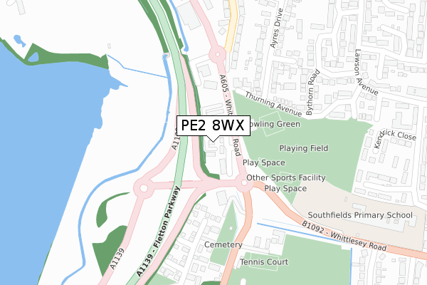
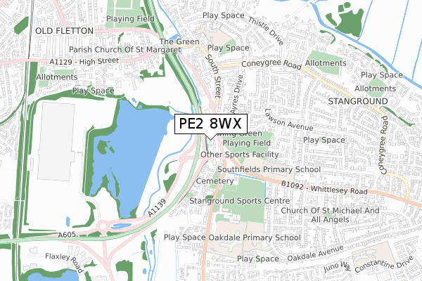
PE2 8WX is located in the Stanground South electoral ward, within the unitary authority of Peterborough and the English Parliamentary constituency of North West Cambridgeshire. The Sub Integrated Care Board (ICB) Location is NHS Cambridgeshire and Peterborough ICB - 06H and the police force is Cambridgeshire. This postcode has been in use since February 2020.


GetTheData
Source: OS Open Zoomstack (Ordnance Survey)
Licence: Open Government Licence (requires attribution)
Attribution: Contains OS data © Crown copyright and database right 2025
Source: Open Postcode Geo
Licence: Open Government Licence (requires attribution)
Attribution: Contains OS data © Crown copyright and database right 2025; Contains Royal Mail data © Royal Mail copyright and database right 2025; Source: Office for National Statistics licensed under the Open Government Licence v.3.0
| Easting | 520245 |
| Northing | 296561 |
| Latitude | 52.553636 |
| Longitude | -0.227882 |
GetTheData
Source: Open Postcode Geo
Licence: Open Government Licence
| Country | England |
| Postcode District | PE2 |
➜ See where PE2 is on a map ➜ Where is Peterborough? | |
GetTheData
Source: Land Registry Price Paid Data
Licence: Open Government Licence
| Ward | Stanground South |
| Constituency | North West Cambridgeshire |
GetTheData
Source: ONS Postcode Database
Licence: Open Government Licence
| Aldi (Whittlesey Road) | Stanground | 36m |
| Aldi (Whittlesey Road) | Stanground | 88m |
| Sunset Aquarists (South Street) | Stanground | 237m |
| Sunset Aquarists (South Street) | Stanground | 257m |
| Old Health Centre (Peterborough Road) | Stanground | 267m |
| Peterborough Station | 2.8km |
GetTheData
Source: NaPTAN
Licence: Open Government Licence
GetTheData
Source: ONS Postcode Database
Licence: Open Government Licence


➜ Get more ratings from the Food Standards Agency
GetTheData
Source: Food Standards Agency
Licence: FSA terms & conditions
| Last Collection | |||
|---|---|---|---|
| Location | Mon-Fri | Sat | Distance |
| Stanground Post Office | 17:45 | 12:00 | 270m |
| Lawson Ave -southfields Drive | 18:00 | 12:15 | 521m |
| Buntings Lane | 17:30 | 11:15 | 529m |
GetTheData
Source: Dracos
Licence: Creative Commons Attribution-ShareAlike
The below table lists the International Territorial Level (ITL) codes (formerly Nomenclature of Territorial Units for Statistics (NUTS) codes) and Local Administrative Units (LAU) codes for PE2 8WX:
| ITL 1 Code | Name |
|---|---|
| TLH | East |
| ITL 2 Code | Name |
| TLH1 | East Anglia |
| ITL 3 Code | Name |
| TLH11 | Peterborough |
| LAU 1 Code | Name |
| E06000031 | Peterborough |
GetTheData
Source: ONS Postcode Directory
Licence: Open Government Licence
The below table lists the Census Output Area (OA), Lower Layer Super Output Area (LSOA), and Middle Layer Super Output Area (MSOA) for PE2 8WX:
| Code | Name | |
|---|---|---|
| OA | E00079236 | |
| LSOA | E01015669 | Peterborough 019B |
| MSOA | E02003255 | Peterborough 019 |
GetTheData
Source: ONS Postcode Directory
Licence: Open Government Licence
| PE2 8RA | Belle Vue | 78m |
| PE2 8QP | Thurning Avenue | 161m |
| PE2 8QR | Bythorn Way | 201m |
| PE7 3FR | Heatherdale Close | 205m |
| PE2 8JR | Ayres Drive | 234m |
| PE2 8QF | Bythorn Road | 234m |
| PE2 8EY | South Street | 247m |
| PE2 8JU | Andrea Close | 257m |
| PE2 8QW | Thurning Avenue | 286m |
| PE2 8EZ | South Street | 305m |
GetTheData
Source: Open Postcode Geo; Land Registry Price Paid Data
Licence: Open Government Licence