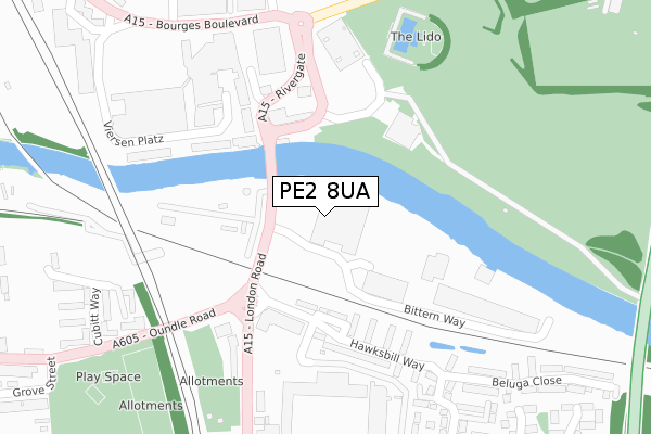
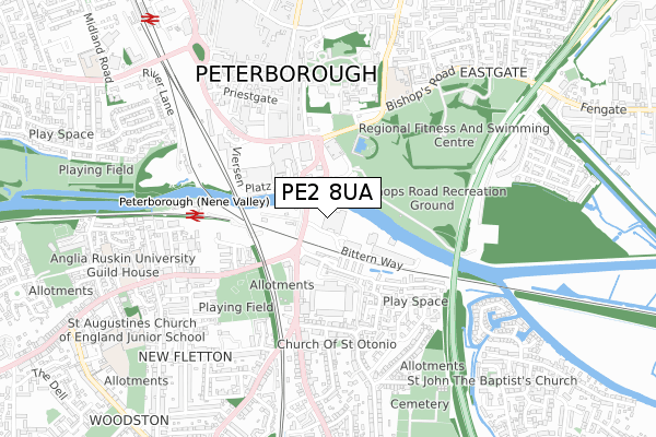
PE2 8UA is located in the Fletton and Stanground electoral ward, within the unitary authority of Peterborough and the English Parliamentary constituency of North West Cambridgeshire. The Sub Integrated Care Board (ICB) Location is NHS Cambridgeshire and Peterborough ICB - 06H and the police force is Cambridgeshire. This postcode has been in use since June 2019.


GetTheData
Source: OS Open Zoomstack (Ordnance Survey)
Licence: Open Government Licence (requires attribution)
Attribution: Contains OS data © Crown copyright and database right 2025
Source: Open Postcode Geo
Licence: Open Government Licence (requires attribution)
Attribution: Contains OS data © Crown copyright and database right 2025; Contains Royal Mail data © Royal Mail copyright and database right 2025; Source: Office for National Statistics licensed under the Open Government Licence v.3.0
| Easting | 519363 |
| Northing | 298084 |
| Latitude | 52.567515 |
| Longitude | -0.240337 |
GetTheData
Source: Open Postcode Geo
Licence: Open Government Licence
| Country | England |
| Postcode District | PE2 |
➜ See where PE2 is on a map ➜ Where is Peterborough? | |
GetTheData
Source: Land Registry Price Paid Data
Licence: Open Government Licence
| Ward | Fletton And Stanground |
| Constituency | North West Cambridgeshire |
GetTheData
Source: ONS Postcode Database
Licence: Open Government Licence
| Horsefair Meadow (Cripple Sidings Lane) | Fletton | 177m |
| Town Bridge Corner (Oundle Road) | Fletton | 239m |
| Town Bridge Corner (London Road) | Fletton | 246m |
| Rivergate - Northbound (Bourges Boulevard) | Peterborough | 330m |
| Rivergate - Northbound (Bourges Boulevard) | Peterborough | 338m |
| Peterborough (Nene Valley Railway) | Woodston | 504m |
| Peterborough Station | 1.1km |
GetTheData
Source: NaPTAN
Licence: Open Government Licence
| Percentage of properties with Next Generation Access | 100.0% |
| Percentage of properties with Superfast Broadband | 100.0% |
| Percentage of properties with Ultrafast Broadband | 100.0% |
| Percentage of properties with Full Fibre Broadband | 100.0% |
Superfast Broadband is between 30Mbps and 300Mbps
Ultrafast Broadband is > 300Mbps
| Percentage of properties unable to receive 2Mbps | 0.0% |
| Percentage of properties unable to receive 5Mbps | 0.0% |
| Percentage of properties unable to receive 10Mbps | 0.0% |
| Percentage of properties unable to receive 30Mbps | 0.0% |
GetTheData
Source: Ofcom
Licence: Ofcom Terms of Use (requires attribution)
GetTheData
Source: ONS Postcode Database
Licence: Open Government Licence


➜ Get more ratings from the Food Standards Agency
GetTheData
Source: Food Standards Agency
Licence: FSA terms & conditions
| Last Collection | |||
|---|---|---|---|
| Location | Mon-Fri | Sat | Distance |
| Rivergate-bridge Street | 18:45 | 13:00 | 235m |
| Fletton Avenue | 17:45 | 13:00 | 493m |
| Woodston Post Office | 18:30 | 11:45 | 538m |
GetTheData
Source: Dracos
Licence: Creative Commons Attribution-ShareAlike
The below table lists the International Territorial Level (ITL) codes (formerly Nomenclature of Territorial Units for Statistics (NUTS) codes) and Local Administrative Units (LAU) codes for PE2 8UA:
| ITL 1 Code | Name |
|---|---|
| TLH | East |
| ITL 2 Code | Name |
| TLH1 | East Anglia |
| ITL 3 Code | Name |
| TLH11 | Peterborough |
| LAU 1 Code | Name |
| E06000031 | Peterborough |
GetTheData
Source: ONS Postcode Directory
Licence: Open Government Licence
The below table lists the Census Output Area (OA), Lower Layer Super Output Area (LSOA), and Middle Layer Super Output Area (MSOA) for PE2 8UA:
| Code | Name | |
|---|---|---|
| OA | E00079016 | |
| LSOA | E01015621 | Peterborough 017A |
| MSOA | E02003253 | Peterborough 017 |
GetTheData
Source: ONS Postcode Directory
Licence: Open Government Licence
| PE1 1FX | Viersen Platz | 164m |
| PE1 1EP | Viersen Platz | 189m |
| PE1 1ER | Viersen Platz | 208m |
| PE2 8AT | Oundle Road | 237m |
| PE2 8AR | London Road | 278m |
| PE1 1ES | Viersen Platz | 288m |
| PE2 8NY | Hawksbill Way | 318m |
| PE2 8NS | Hawksbill Way | 338m |
| PE2 9NG | Cubitt Way | 359m |
| PE1 1HA | Bridge Street | 398m |
GetTheData
Source: Open Postcode Geo; Land Registry Price Paid Data
Licence: Open Government Licence