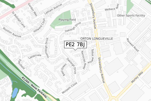
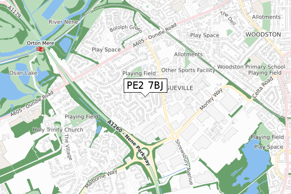
PE2 7BJ is located in the Hargate and Hempsted electoral ward, within the unitary authority of Peterborough and the English Parliamentary constituency of North West Cambridgeshire. The Sub Integrated Care Board (ICB) Location is NHS Cambridgeshire and Peterborough ICB - 06H and the police force is Cambridgeshire. This postcode has been in use since November 2018.


GetTheData
Source: OS Open Zoomstack (Ordnance Survey)
Licence: Open Government Licence (requires attribution)
Attribution: Contains OS data © Crown copyright and database right 2025
Source: Open Postcode Geo
Licence: Open Government Licence (requires attribution)
Attribution: Contains OS data © Crown copyright and database right 2025; Contains Royal Mail data © Royal Mail copyright and database right 2025; Source: Office for National Statistics licensed under the Open Government Licence v.3.0
| Easting | 517592 |
| Northing | 296776 |
| Latitude | 52.556147 |
| Longitude | -0.266917 |
GetTheData
Source: Open Postcode Geo
Licence: Open Government Licence
| Country | England |
| Postcode District | PE2 |
➜ See where PE2 is on a map | |
GetTheData
Source: Land Registry Price Paid Data
Licence: Open Government Licence
| Ward | Hargate And Hempsted |
| Constituency | North West Cambridgeshire |
GetTheData
Source: ONS Postcode Database
Licence: Open Government Licence
| Oakleigh Drive (Shrewsbury Avenue) | Orton Longueville | 200m |
| Oakleigh Drive (Shrewsbury Avenue) | Orton Longueville | 201m |
| Big Sky (Shrewsbury Avenue) | Orton Longueville | 210m |
| Big Sky (Shrewsbury Avenue) | Orton Longueville | 214m |
| Lansdown Walk (Shrewsbury Avenue) | Orton Longueville | 374m |
| Orton Mere (Nene Valley Railway) | Orton Longueville | 1,027m |
| Peterborough (Nene Valley Railway) | Woodston | 1,820m |
| Peterborough Station | 2.4km |
GetTheData
Source: NaPTAN
Licence: Open Government Licence
GetTheData
Source: ONS Postcode Database
Licence: Open Government Licence


➜ Get more ratings from the Food Standards Agency
GetTheData
Source: Food Standards Agency
Licence: FSA terms & conditions
| Last Collection | |||
|---|---|---|---|
| Location | Mon-Fri | Sat | Distance |
| Orton Longueville Post Office | 17:45 | 12:00 | 128m |
| Morley Way-shrewsbury Avenue | 17:45 | 12:15 | 391m |
| Oundle Road-toll House Road | 17:45 | 12:00 | 439m |
GetTheData
Source: Dracos
Licence: Creative Commons Attribution-ShareAlike
The below table lists the International Territorial Level (ITL) codes (formerly Nomenclature of Territorial Units for Statistics (NUTS) codes) and Local Administrative Units (LAU) codes for PE2 7BJ:
| ITL 1 Code | Name |
|---|---|
| TLH | East |
| ITL 2 Code | Name |
| TLH1 | East Anglia |
| ITL 3 Code | Name |
| TLH11 | Peterborough |
| LAU 1 Code | Name |
| E06000031 | Peterborough |
GetTheData
Source: ONS Postcode Directory
Licence: Open Government Licence
The below table lists the Census Output Area (OA), Lower Layer Super Output Area (LSOA), and Middle Layer Super Output Area (MSOA) for PE2 7BJ:
| Code | Name | |
|---|---|---|
| OA | E00079148 | |
| LSOA | E01033179 | Peterborough 022D |
| MSOA | E02006877 | Peterborough 022 |
GetTheData
Source: ONS Postcode Directory
Licence: Open Government Licence
| PE2 7BA | Caryer Close | 0m |
| PE2 7AN | Oakleigh Drive | 64m |
| PE2 7AX | Newcastle Drive | 73m |
| PE2 7AS | Nansicles Road | 85m |
| PE2 7AU | Newcastle Drive | 93m |
| PE2 7AT | Talbot Avenue | 132m |
| PE2 7AY | Robert Rayner Close | 134m |
| PE2 7BB | Oakleigh Drive | 135m |
| PE2 7AZ | Thornleigh Drive | 151m |
| PE2 7AW | Basil Green | 157m |
GetTheData
Source: Open Postcode Geo; Land Registry Price Paid Data
Licence: Open Government Licence