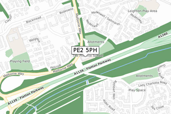
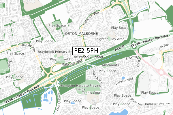
PE2 5PH is located in the Orton Longueville electoral ward, within the unitary authority of Peterborough and the English Parliamentary constituency of North West Cambridgeshire. The Sub Integrated Care Board (ICB) Location is NHS Cambridgeshire and Peterborough ICB - 06H and the police force is Cambridgeshire. This postcode has been in use since April 2018.


GetTheData
Source: OS Open Zoomstack (Ordnance Survey)
Licence: Open Government Licence (requires attribution)
Attribution: Contains OS data © Crown copyright and database right 2025
Source: Open Postcode Geo
Licence: Open Government Licence (requires attribution)
Attribution: Contains OS data © Crown copyright and database right 2025; Contains Royal Mail data © Royal Mail copyright and database right 2025; Source: Office for National Statistics licensed under the Open Government Licence v.3.0
| Easting | 517062 |
| Northing | 295440 |
| Latitude | 52.544256 |
| Longitude | -0.275200 |
GetTheData
Source: Open Postcode Geo
Licence: Open Government Licence
| Country | England |
| Postcode District | PE2 |
➜ See where PE2 is on a map ➜ Where is Peterborough? | |
GetTheData
Source: Land Registry Price Paid Data
Licence: Open Government Licence
| Ward | Orton Longueville |
| Constituency | North West Cambridgeshire |
GetTheData
Source: ONS Postcode Database
Licence: Open Government Licence
| Herlington Centre (Orton Busway) | Orton Malborne | 348m |
| Herlington Centre (Orton Busway) | Orton Malborne | 353m |
| Braybrook School (Orton Busway) | Orton Malborne | 460m |
| Braybrook School (Orton Busway) | Orton Malborne | 468m |
| The Eldern (Orton Busway) | Orton Malborne | 520m |
| Peterborough Station | 3.8km |
GetTheData
Source: NaPTAN
Licence: Open Government Licence
GetTheData
Source: ONS Postcode Database
Licence: Open Government Licence


➜ Get more ratings from the Food Standards Agency
GetTheData
Source: Food Standards Agency
Licence: FSA terms & conditions
| Last Collection | |||
|---|---|---|---|
| Location | Mon-Fri | Sat | Distance |
| Orton Malborne Post Office | 18:30 | 11:45 | 392m |
| Eldern Centre | 18:30 | 11:45 | 528m |
| Silver Hill | 18:00 | 12:30 | 650m |
GetTheData
Source: Dracos
Licence: Creative Commons Attribution-ShareAlike
The below table lists the International Territorial Level (ITL) codes (formerly Nomenclature of Territorial Units for Statistics (NUTS) codes) and Local Administrative Units (LAU) codes for PE2 5PH:
| ITL 1 Code | Name |
|---|---|
| TLH | East |
| ITL 2 Code | Name |
| TLH1 | East Anglia |
| ITL 3 Code | Name |
| TLH11 | Peterborough |
| LAU 1 Code | Name |
| E06000031 | Peterborough |
GetTheData
Source: ONS Postcode Directory
Licence: Open Government Licence
The below table lists the Census Output Area (OA), Lower Layer Super Output Area (LSOA), and Middle Layer Super Output Area (MSOA) for PE2 5PH:
| Code | Name | |
|---|---|---|
| OA | E00079094 | |
| LSOA | E01015640 | Peterborough 021C |
| MSOA | E02003257 | Peterborough 021 |
GetTheData
Source: ONS Postcode Directory
Licence: Open Government Licence
| PE2 5PU | Blackmead | 115m |
| PE2 5SL | Holcroft | 136m |
| PE2 5PA | Medeswell | 206m |
| PE2 5PZ | Blackmead | 216m |
| PE7 8DU | Malus Close | 254m |
| PE2 5PB | Medeswell | 256m |
| PE2 5NS | Walgrave | 261m |
| PE7 8DX | Applewood Drive | 270m |
| PE7 8DZ | Rothbart Way | 273m |
| PE2 5PJ | Bodesway | 283m |
GetTheData
Source: Open Postcode Geo; Land Registry Price Paid Data
Licence: Open Government Licence