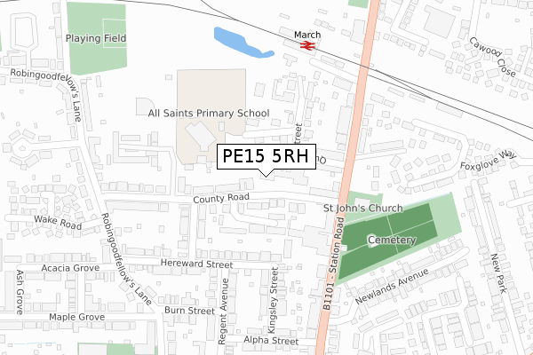
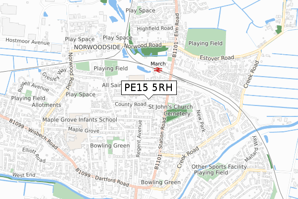
PE15 5RH is located in the March North electoral ward, within the local authority district of Fenland and the English Parliamentary constituency of North East Cambridgeshire. The Sub Integrated Care Board (ICB) Location is NHS Cambridgeshire and Peterborough ICB - 06H and the police force is Cambridgeshire. This postcode has been in use since August 2017.


GetTheData
Source: OS Open Zoomstack (Ordnance Survey)
Licence: Open Government Licence (requires attribution)
Attribution: Contains OS data © Crown copyright and database right 2024
Source: Open Postcode Geo
Licence: Open Government Licence (requires attribution)
Attribution: Contains OS data © Crown copyright and database right 2024; Contains Royal Mail data © Royal Mail copyright and database right 2024; Source: Office for National Statistics licensed under the Open Government Licence v.3.0
| Easting | 541786 |
| Northing | 297609 |
| Latitude | 52.557871 |
| Longitude | 0.090072 |
GetTheData
Source: Open Postcode Geo
Licence: Open Government Licence
| Country | England |
| Postcode District | PE15 |
➜ See where PE15 is on a map ➜ Where is March? | |
GetTheData
Source: Land Registry Price Paid Data
Licence: Open Government Licence
| Ward | March North |
| Constituency | North East Cambridgeshire |
GetTheData
Source: ONS Postcode Database
Licence: Open Government Licence
| High School Close (County Road) | March | 56m |
| High School Close (County Road) | March | 84m |
| Cromwell Road (County Road) | March | 224m |
| Railway Station (Station Approach) | March | 240m |
| Railway Station (Station Road) | March | 250m |
| March Station | 0.2km |
GetTheData
Source: NaPTAN
Licence: Open Government Licence
GetTheData
Source: ONS Postcode Database
Licence: Open Government Licence


➜ Get more ratings from the Food Standards Agency
GetTheData
Source: Food Standards Agency
Licence: FSA terms & conditions
| Last Collection | |||
|---|---|---|---|
| Location | Mon-Fri | Sat | Distance |
| Station Road | 17:30 | 11:15 | 143m |
| March Station | 17:30 | 11:15 | 251m |
| Burn Street | 17:00 | 11:00 | 323m |
GetTheData
Source: Dracos
Licence: Creative Commons Attribution-ShareAlike
The below table lists the International Territorial Level (ITL) codes (formerly Nomenclature of Territorial Units for Statistics (NUTS) codes) and Local Administrative Units (LAU) codes for PE15 5RH:
| ITL 1 Code | Name |
|---|---|
| TLH | East |
| ITL 2 Code | Name |
| TLH1 | East Anglia |
| ITL 3 Code | Name |
| TLH12 | Cambridgeshire CC |
| LAU 1 Code | Name |
| E07000010 | Fenland |
GetTheData
Source: ONS Postcode Directory
Licence: Open Government Licence
The below table lists the Census Output Area (OA), Lower Layer Super Output Area (LSOA), and Middle Layer Super Output Area (MSOA) for PE15 5RH:
| Code | Name | |
|---|---|---|
| OA | E00091226 | |
| LSOA | E01018083 | Fenland 005C |
| MSOA | E02003746 | Fenland 005 |
GetTheData
Source: ONS Postcode Directory
Licence: Open Government Licence
| PE15 8NQ | County Road | 0m |
| PE15 8ND | County Road | 49m |
| PE15 8SN | Queens Street | 104m |
| PE15 8SP | Queens Street Close | 105m |
| PE15 8NX | High School Close | 108m |
| PE15 8NG | Station Road | 133m |
| PE15 8LY | Hereward Street | 164m |
| PE15 8NA | Cromwell Road | 179m |
| PE15 8SQ | Station Road | 180m |
| PE15 8SL | Stevens Way | 183m |
GetTheData
Source: Open Postcode Geo; Land Registry Price Paid Data
Licence: Open Government Licence