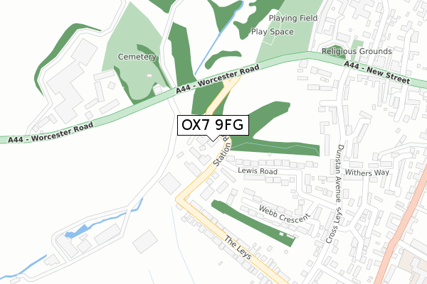
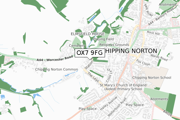
OX7 9FG is located in the Chipping Norton electoral ward, within the local authority district of West Oxfordshire and the English Parliamentary constituency of Witney. The Sub Integrated Care Board (ICB) Location is NHS Buckinghamshire, Oxfordshire and Berkshire West ICB - 10Q and the police force is Thames Valley. This postcode has been in use since July 2019.


GetTheData
Source: OS Open Zoomstack (Ordnance Survey)
Licence: Open Government Licence (requires attribution)
Attribution: Contains OS data © Crown copyright and database right 2025
Source: Open Postcode Geo
Licence: Open Government Licence (requires attribution)
Attribution: Contains OS data © Crown copyright and database right 2025; Contains Royal Mail data © Royal Mail copyright and database right 2025; Source: Office for National Statistics licensed under the Open Government Licence v.3.0
| Easting | 430774 |
| Northing | 226944 |
| Latitude | 51.940163 |
| Longitude | -1.553732 |
GetTheData
Source: Open Postcode Geo
Licence: Open Government Licence
| Country | England |
| Postcode District | OX7 |
➜ See where OX7 is on a map ➜ Where is Chipping Norton? | |
GetTheData
Source: Land Registry Price Paid Data
Licence: Open Government Licence
| Ward | Chipping Norton |
| Constituency | Witney |
GetTheData
Source: ONS Postcode Database
Licence: Open Government Licence
| The Leys | Chipping Norton | 250m |
| The Leys | Chipping Norton | 258m |
| Dunstan Avenue | Chipping Norton | 301m |
| Dunstan Avenue | Chipping Norton | 306m |
| Cross Leys | Chipping Norton | 378m |
GetTheData
Source: NaPTAN
Licence: Open Government Licence
GetTheData
Source: ONS Postcode Database
Licence: Open Government Licence


➜ Get more ratings from the Food Standards Agency
GetTheData
Source: Food Standards Agency
Licence: FSA terms & conditions
| Last Collection | |||
|---|---|---|---|
| Location | Mon-Fri | Sat | Distance |
| Churchill Road | 17:00 | 12:00 | 537m |
| Market Square | 17:00 | 12:00 | 592m |
| Chipping Norton Post Office | 18:15 | 12:00 | 660m |
GetTheData
Source: Dracos
Licence: Creative Commons Attribution-ShareAlike
The below table lists the International Territorial Level (ITL) codes (formerly Nomenclature of Territorial Units for Statistics (NUTS) codes) and Local Administrative Units (LAU) codes for OX7 9FG:
| ITL 1 Code | Name |
|---|---|
| TLJ | South East (England) |
| ITL 2 Code | Name |
| TLJ1 | Berkshire, Buckinghamshire and Oxfordshire |
| ITL 3 Code | Name |
| TLJ14 | Oxfordshire CC |
| LAU 1 Code | Name |
| E07000181 | West Oxfordshire |
GetTheData
Source: ONS Postcode Directory
Licence: Open Government Licence
The below table lists the Census Output Area (OA), Lower Layer Super Output Area (LSOA), and Middle Layer Super Output Area (MSOA) for OX7 9FG:
| Code | Name | |
|---|---|---|
| OA | E00146601 | |
| LSOA | E01028782 | West Oxfordshire 001C |
| MSOA | E02005993 | West Oxfordshire 001 |
GetTheData
Source: ONS Postcode Directory
Licence: Open Government Licence
| OX7 5JP | Craft's Mill Terrace | 85m |
| OX7 5JS | Lewis Road | 139m |
| OX7 5JT | Lewis Road | 156m |
| OX7 5XS | Worcester Road | 178m |
| OX7 5HU | Webb Crescent | 193m |
| OX7 5HJ | The Leys | 242m |
| OX7 5HH | The Leys | 261m |
| OX7 5HZ | The Leys | 288m |
| OX7 5BW | Arundel View | 308m |
| OX7 5LX | Dunstan Avenue | 320m |
GetTheData
Source: Open Postcode Geo; Land Registry Price Paid Data
Licence: Open Government Licence